Old Maps of Long Bridge, Louisiana for Genealogy
Trace your family roots with 11 historic maps of Long Bridge. These high-res maps reveal old neighborhoods, homesites, landmarks, and streets — helping you uncover where your ancestors lived and how the area evolved over time.
- Explore historic neighborhoods: Identify where your relatives may have lived in the 1800s or 1900s.
- Compare maps over time: Trace the changes in streets, buildings, and landmarks for multi-generational research.
- Perfect for genealogy & ancestry research: Used by family historians and researchers to map out lineage and migration.
These maps are an incredible resource for exploring your personal connection to Long Bridge's past.
Long Bridge, LA maps
(11)- 1940 Map of Marksville, 1943 Print
 1940 Marksville1943 Print · USGSAvoyelles Parish life in the early 1940s is centered on the river-and-rail economy of the Red River valley. Genealogists and historians can trace family locations through numerous named churches and schools, such as Hickory Hill Sch, Vick, and the St Paul Ch & Cem.2 unique versions available
 - 1953 Map of Alexandria, 1963 Print
 1953 Alexandria1963 Print · USGSCentral Louisiana during the early fifties is mapped here at the intersection of the piney woods and the Red River valley. Genealogists and historians can trace the rail-and-river network connecting towns like Alexandria, Natchitoches, and the grounds of Camp Beauregard.3 unique versions available
 - 1955 Map of Alexandria
 1955 Alexandria1955 Print · USGSCentral Louisiana in the mid-fifties is a landscape of river-port cities, sprawling timberlands, and massive military reservations. Genealogists and historians can trace the rail networks of the Texas & Pacific RR and locate sites like Camp Polk Military Reservation and Natchitoches.
 - 1962 Map of Marksville, 1964 Print
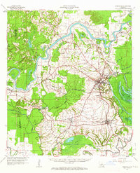 1962 Marksville1964 Print · USGSAvoyelles Parish in the early sixties remains a landscape shaped by river bends and rail lines before the modern highway era. Genealogists and historians can trace family locations near St Pauls Ch, Waddill Cem, and the historic Indian Mounds outside Marksville.3 unique versions available
 - 1982 Map of Marksville South
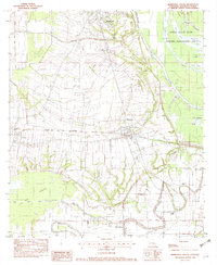 1982 Marksville South1982 Print · USGSCentral Avoyelles Parish in the early eighties shows a landscape deeply tied to its water bodies and rail lines. Trace family roots and local history through St Joseph Cem, the Kansas City Southern railroad, and the wetland reaches of Spring Bayou.2 unique versions available
 - 1986 Map of Alexandria
 1986 Alexandria1986 Print · USGSCentral Louisiana in the mid-eighties shows a landscape of strategic military installations and deep river-valley agriculture. Researchers can trace the footprints of England Air Force Base, Camp Beauregard, and the extensive Kisatchie National Forest.2 unique versions available
 - 2012 Map of Marksville South, 2012 Print
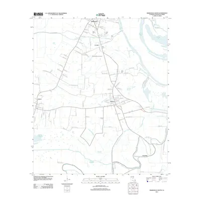 2012 Marksville South2012 Print · USGSAvoyelles Parish near the turn of the twenty-first century reveals a landscape where Cajun and Indigenous history meet the bayou. Researchers can trace family roots at Tunica-Biloxi Cem or explore the water-bound hamlets of Mansura, Long Bridge, and Cocoville.
 - 2015 Map of Marksville South, 2015 Print
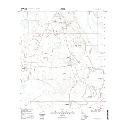 2015 Marksville South2015 Print · USGSCentral Avoyelles Parish settlements and intricate bayou networks are documented here in the mid-2010s. Genealogists can locate family-named landmarks and cemeteries like Tunica-Biloxi Cem, Jerusalem Cem, and Long Bridge.
 - 2018 Map of Marksville South, 2018 Print
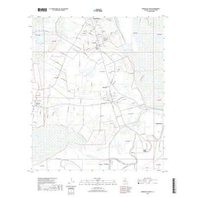 2018 Marksville South2018 Print · USGSAvoyelles Parish in the late 2010s reveals a landscape where historic French-named roads meet the wetlands of the Atchafalaya basin. Researchers can trace family history at the Tunica-Biloxi Cem or explore the rural routes connecting Cocoville, Mansura, and Long Bridge.
 - 2020 Map of Marksville South, 2020 Print
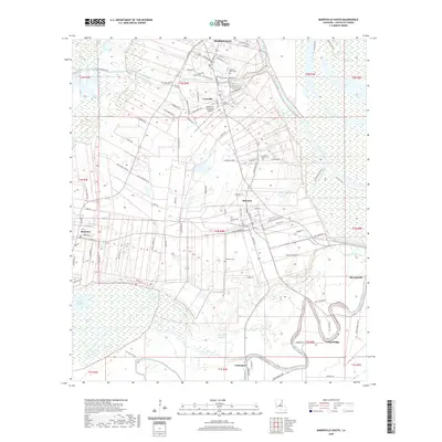 2020 Marksville South2020 Print · USGSAvoyelles Parish is captured here during a period of modern agricultural and residential continuity, centered on the historic town of Marksville. Genealogists can trace family names at the Tunica-Biloxi Cem or locate old community centers like Cocoville and Long Bridge.
 - 2024 Map of Marksville South, 2024 Print
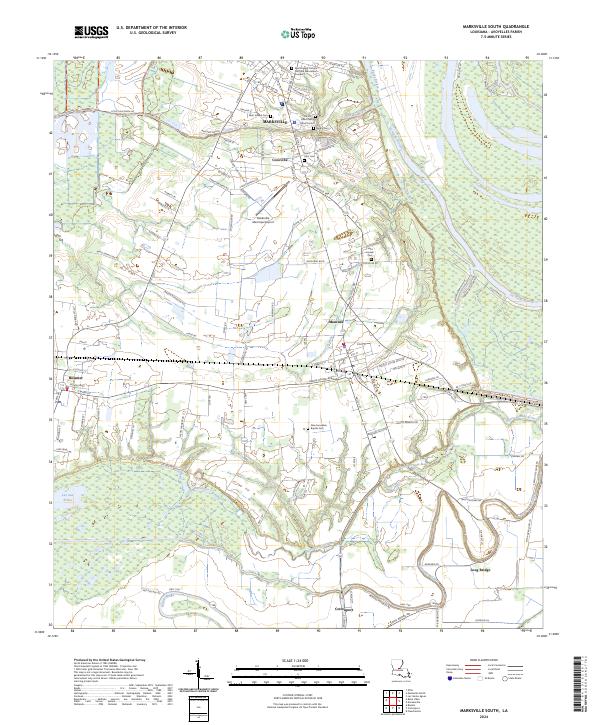 2024 Marksville South2024 Print · USGSAvoyelles Parish enters the mid-2020s with its deep French heritage and bayou-driven geography clearly visible across the Marksville area. Researchers can trace family history through sites like Tunica-Biloxi Cem or explore the wetlands of Lac aux Perles.
End of results
Showing maps 1-11 of 11
Top cities near Long Bridge
- Marksville historical maps
- Bunkie historical maps
- Cottonport historical maps
- Simmesport historical maps
- Mansura historical maps
- Moreauville historical maps
See more
Frequently asked questions
- What are the different types of historical maps available for Long Bridge?
- What is the oldest map of Long Bridge?
- Where can I purchase historical maps of Long Bridge for my home or office?
- Where can I download high-res historical maps of Long Bridge?
- Are there historical topographic maps available for Long Bridge?
- Is there historical aerial imagery available for Long Bridge?
- Where are historical maps of Long Bridge sourced from?