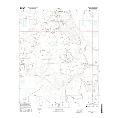
2015 Map of Marksville South
USGS Topo · Published 2015About this map
Bayou des Glaises and Bayou Grande Ecore define the low-lying hydrology of this Avoyelles Parish landscape, where historical settlements like Mansura and Marksville occupy the higher ground. The region is marked by an intricate network of bayous, including Bayou Lacombe and Petite Riviere, reflecting a terrain shaped by the shifting courses of Louisiana's river systems. Local heritage is deeply rooted in the land, as evidenced by several cemeteries such as the Tunica-Biloxi Cem and Saint Joseph Cem, which serve as quiet landmarks for genealogists and local historians. Small communities like Cocoville, Hessmer, and Moreauville are connected by a grid of rural roads and residential enclaves such as the Guilbeau Subdivision. This survey captures the area as the modern aviation of the Marksville Municipal Airport coexists with the traditional water-dependent settlements of Long Bridge and Cottonport.
Find a feature on this map
117 named features on this map. Tap any name to fly to it.
Don’t see what you’re looking for? This feature index may not catch every label — zoom into the map to look around manually.
Map Details
Editions of this 2015 Marksville South Map
This is the sole edition of this map. No revisions or reprints were ever made.
Other maps of this area

1940 · Marksville
USGS Topo · 1:62,500

1941 · Voorhies
USGS Topo · 1:62,500

1948 · Bunkie
USGS Topo · 1:62,500

1952 · Lake Charles
USGS Topo · 1:250,000

1953 · Alexandria
USGS Topo · 1:250,000

1953 · Natchez
USGS Topo · 1:250,000

1954 · Lake Charles
USGS Topo · 1:250,000

1954 · Baton Rouge
USGS Topo · 1:250,000

1955 · Odenburg
USGS Topo · 1:62,500

1955 · Alexandria
USGS Topo · 1:250,000