
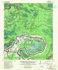
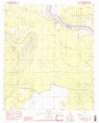
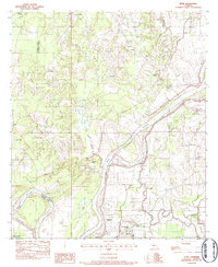
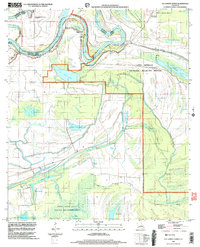
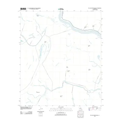
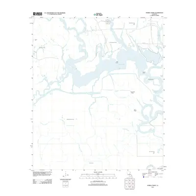
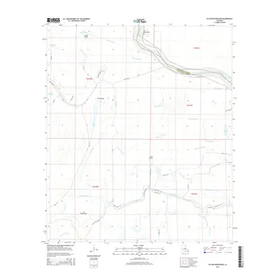
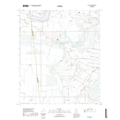
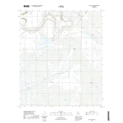
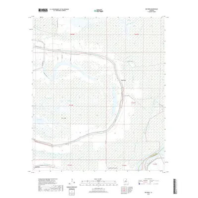
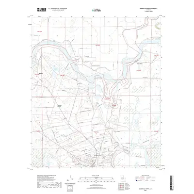
1955 Map of Odenburg
USGS Topo · Published 1955About this map
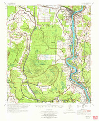
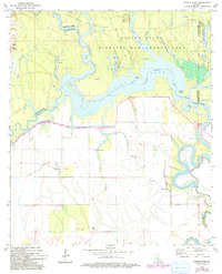
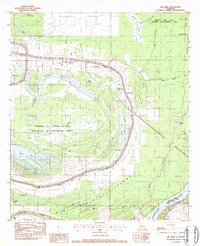
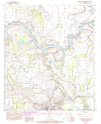
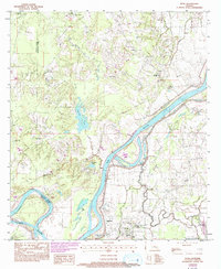
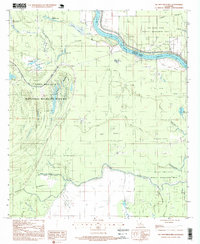
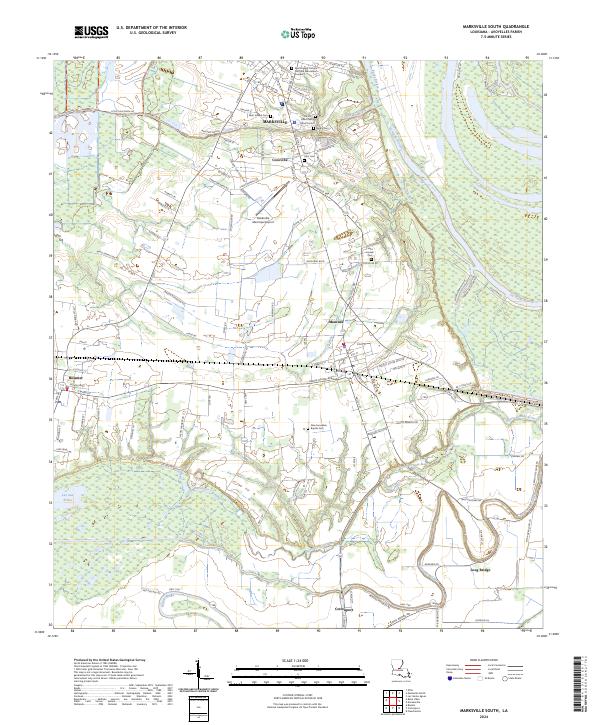
The Atchafalaya River winds through the heart of the Louisiana delta, where the West Atchafalaya Floodway dominates the lowlands between the Avoyelles and ST. Landry boundary. In the mid-1950s, this region was defined by a complex network of bayous and landings, such as Burlong Ldg and Fairfield Ldg, which supported the river-based economy. The settlement of Simmesport serves as a northern anchor near the confluence with Yellow Bayou, while agricultural operations like the Deer Range Pltn reflect the area’s plantation heritage. The landscape is dotted with numerous country churches and cemeteries, including Jacoby Chapel & Cem and Macedonia Cem, which offer significant genealogical value. Transportation is anchored by the Texas and Pacific and Louisiana and Arkansas railroads, which bypass the ancient curves of the Coteau Ridge and the deep oxbows of Indian Lake.
Find a feature on this map
103 named features on this map. Tap any name to fly to it.
Don’t see what you’re looking for? This feature index may not catch every label — zoom into the map to look around manually.
Map Details
Editions of this 1955 Odenburg Map
This is the sole edition of this map. No revisions or reprints were ever made.
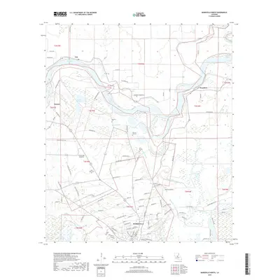
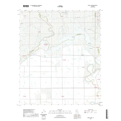
Historical Maps of Simmesport Through Time
54 maps found
1941 Voorhies
Avoyelles Parish, LA
1955 Odenburg
Avoyelles Parish, LA
1970 Odenburg
Avoyelles Parish, LA
1972 Powell Point
Avoyelles Parish, LA
1982 Big Bend
Avoyelles Parish, LA
1982 Ile Natchitoches
Avoyelles Parish, LA
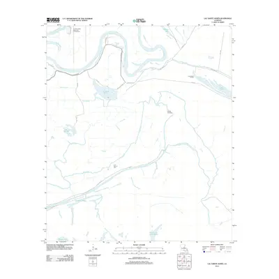
1982 Lac Sainte Agnes
Avoyelles Parish, LA
1982 Marksville South
Avoyelles Parish, LA
1983 Belle D'Eau
Avoyelles Parish, LA
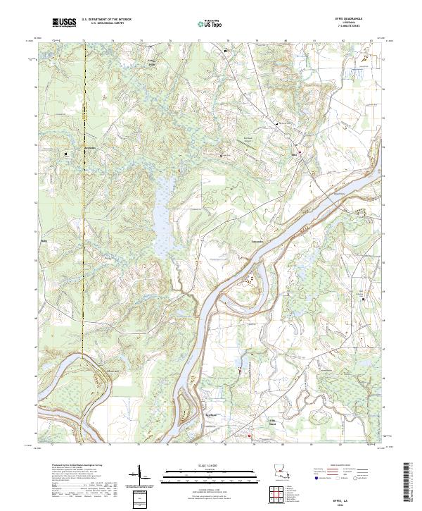
1983 Effie
Avoyelles Parish, LA
1983 Marksville North
Avoyelles Parish, LA
1993 Effie
Avoyelles Parish, LA
1996 Ile Natchitoches
Avoyelles Parish, LA
1999 Lac Sainte Agnes
Avoyelles Parish, LA
2012 Belle d'Eau
Avoyelles Parish, LA
2012 Big Bend
Avoyelles Parish, LA
2012 Effie
Avoyelles Parish, LA
2012 Ile Natchitoches
Avoyelles Parish, LA
2012 Lac Sainte Agnes
Avoyelles Parish, LA
2012 Marksville North
Avoyelles Parish, LA
2012 Marksville South
Avoyelles Parish, LA
2012 Powell Point
Avoyelles Parish, LA
2015 Belle d'Eau
Avoyelles Parish, LA
2015 Big Bend
Avoyelles Parish, LA
2015 Effie
Avoyelles Parish, LA
2015 Ile Natchitoches
Avoyelles Parish, LA
2015 Lac Sainte Agnes
Avoyelles Parish, LA
2015 Marksville North
Avoyelles Parish, LA

2015 Marksville South
Avoyelles Parish, LA
2015 Powell Point
Avoyelles Parish, LA
2018 Belle d'Eau
Avoyelles Parish, LA
2018 Big Bend
Avoyelles Parish, LA
2018 Effie
Avoyelles Parish, LA
2018 Ile Natchitoches
Avoyelles Parish, LA
2018 Lac Sainte Agnes
Avoyelles Parish, LA
2018 Marksville North
Avoyelles Parish, LA

2018 Marksville South
Avoyelles Parish, LA
2018 Powell Point
Avoyelles Parish, LA
2020 Belle d'Eau
Avoyelles Parish, LA
2020 Big Bend
Avoyelles Parish, LA
2020 Effie
Avoyelles Parish, LA
2020 Ile Natchitoches
Avoyelles Parish, LA
2020 Lac Sainte Agnes
Avoyelles Parish, LA
2020 Marksville North
Avoyelles Parish, LA

2020 Marksville South
Avoyelles Parish, LA
2020 Powell Point
Avoyelles Parish, LA
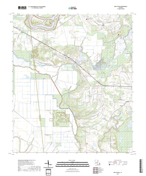
2024 Belle d'Eau
Avoyelles Parish, LA
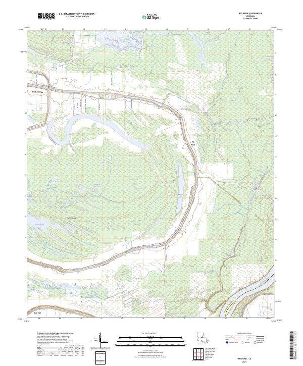
2024 Big Bend
Avoyelles Parish, LA
2024 Effie
Avoyelles Parish, LA
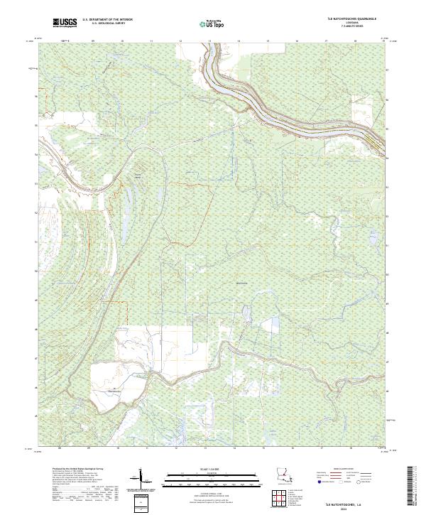
2024 Ile Natchitoches
Avoyelles Parish, LA
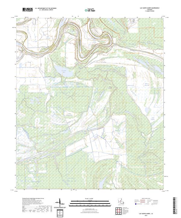
2024 Lac Sainte Agnes
Avoyelles Parish, LA
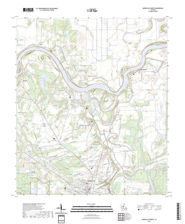
2024 Marksville North
Avoyelles Parish, LA
2024 Marksville South
Avoyelles Parish, LA

2024 Powell Point
Avoyelles Parish, LA