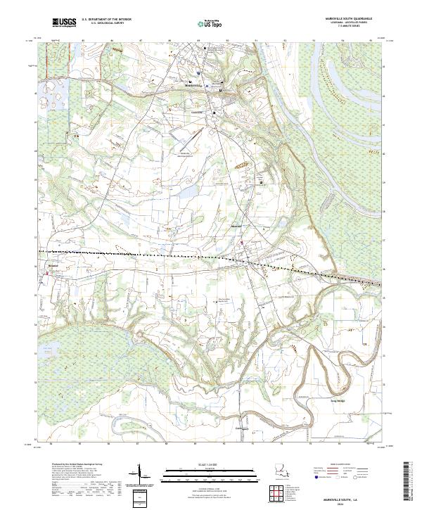
2024 Map of Marksville South
USGS Topo · Published 2024About this map
Marksville and the surrounding Avoyelles Parish landscape are defined by an intricate network of waterways and French-named landmarks. The terrain is marked by the winding courses of Bayou des Glaises, Bayou Rouge, and the oxbow legacy of La Vieille Riviere. These bayous historically dictated the placement of settlements like Mansura and Cocoville, where roads such as Cocoville Rd and Baton Rouge Ave now follow the natural levees.
Find a feature on this map
105 named features on this map. Tap any name to fly to it.
Don’t see what you’re looking for? This feature index may not catch every label — zoom into the map to look around manually.
Map Details
Editions of this 2024 Marksville South Map
This is the sole edition of this map. No revisions or reprints were ever made.
Historical Maps of Long Bridge Through Time
22 maps found
1941 Voorhies
Avoyelles Parish, LA

1955 Odenburg
Avoyelles Parish, LA
1970 Odenburg
Avoyelles Parish, LA
1972 Powell Point
Avoyelles Parish, LA
1982 Big Bend
Avoyelles Parish, LA
1982 Ile Natchitoches
Avoyelles Parish, LA
1982 Lac Sainte Agnes
Avoyelles Parish, LA
1982 Marksville South
Avoyelles Parish, LA
1983 Belle D'Eau
Avoyelles Parish, LA
1983 Effie
Avoyelles Parish, LA
1983 Marksville North
Avoyelles Parish, LA
1993 Effie
Avoyelles Parish, LA
1996 Ile Natchitoches
Avoyelles Parish, LA
1999 Lac Sainte Agnes
Avoyelles Parish, LA
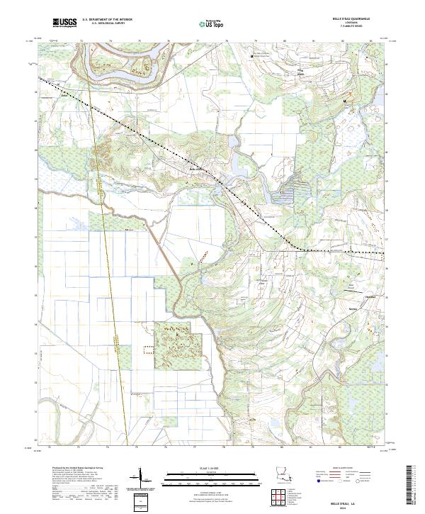
2024 Belle d'Eau
Avoyelles Parish, LA
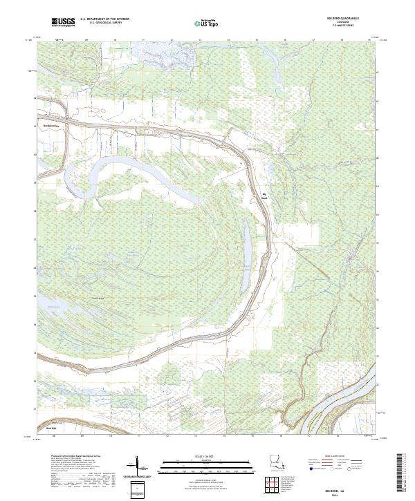
2024 Big Bend
Avoyelles Parish, LA
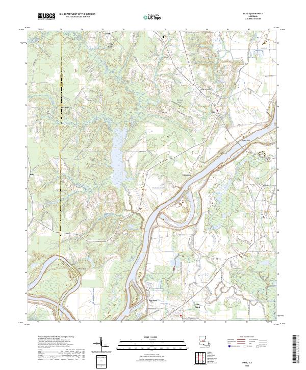
2024 Effie
Avoyelles Parish, LA
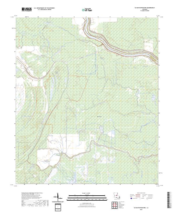
2024 Ile Natchitoches
Avoyelles Parish, LA
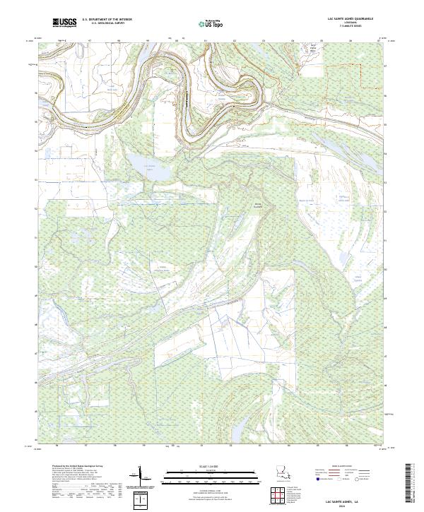
2024 Lac Sainte Agnes
Avoyelles Parish, LA
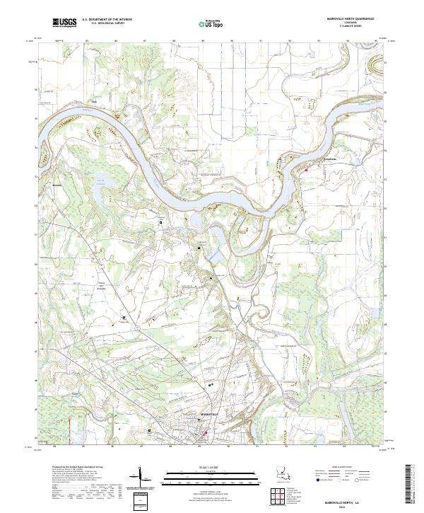
2024 Marksville North
Avoyelles Parish, LA
2024 Marksville South
Avoyelles Parish, LA
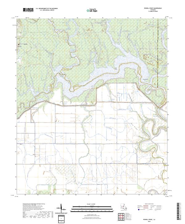
2024 Powell Point
Avoyelles Parish, LA