2000s (21st Century) Maps of DeRidder, Louisiana
Explore 10 historic maps of DeRidder from the 2000s (21st Century). These maps offer a rare glimpse into what life looked like during the 2000s — showing old roads, neighborhoods, homes, and landmarks that have changed or disappeared over time.
Whether you're researching your family's past, planning a metal detecting trip, or studying how DeRidder's landscape evolved across the 2000s, these high-resolution maps are a powerful tool for exploring the history of this region.
- Focus on a specific era: All maps on this page are from the 2000s, giving you a focused view of this time period.
- See what’s changed: Compare century-old streets, trails, and buildings to today's modern landscape using overlays and satellite layers.
- Research with precision: Use these maps for genealogy, historical research, land use analysis, or educational projects.
- View, download, or print: Maps are fully viewable online in high resolution, and can be downloaded or printed for your own records.
Start exploring DeRidder's history through authentic maps from the 2000s. This is your window into the past.
DeRidder, LA maps
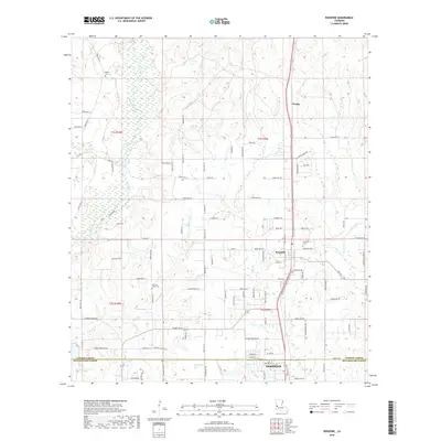
(10)- 2012 Map of Rosepine, 2012 Print
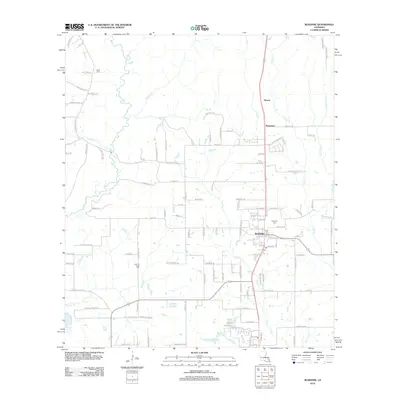 2012 Rosepine2012 Print · USGSCovers DeRidder, including Rosepine, Neame, and other nearby areas
 - 2012 Map of DeRidder, 2012 Print
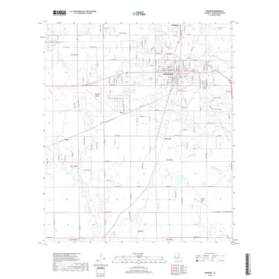
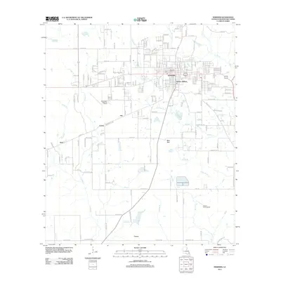 2012 DeRidder2012 Print · USGSCovers DeRidder, including Bon Ami, Shear, and other nearby areas
 - 2015 Map of DeRidder, 2015 Print
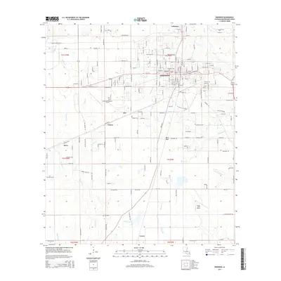 2015 DeRidder2015 Print · USGSCovers DeRidder, including Bon Ami, Shear, and other nearby areas
 - 2015 Map of Rosepine, 2015 Print
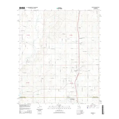 2015 Rosepine2015 Print · USGSCovers DeRidder, including Rosepine, Neame, and other nearby areas
 - 2018 Map of DeRidder, 2018 Print
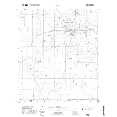
 2018 DeRidder2018 Print · USGSCovers DeRidder, including Bon Ami, Shear, and other nearby areas
 - 2018 Map of Rosepine, 2018 Print
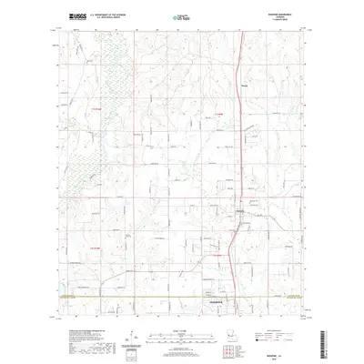
 2018 Rosepine2018 Print · USGSCovers DeRidder, including Rosepine, Neame, and other nearby areas
 - 2020 Map of Rosepine, 2020 Print
 2020 Rosepine2020 Print · USGSCovers DeRidder, including Rosepine, Neame, and other nearby areas
 - 2020 Map of DeRidder, 2020 Print
 2020 DeRidder2020 Print · USGSCovers DeRidder, including Bon Ami, Shear, and other nearby areas
 - 2024 Map of Rosepine, 2024 Print
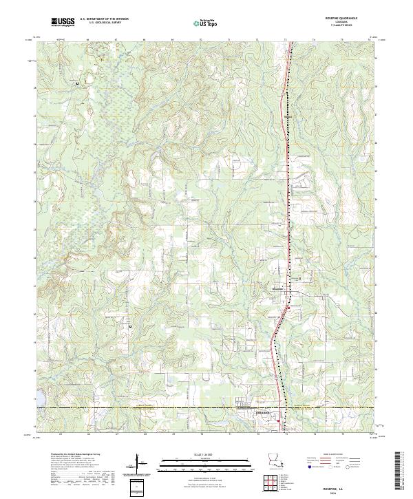 2024 Rosepine2024 Print · USGSThe Vernon and Beauregard Parish border comes into focus in this recent survey of the Louisiana piney woods. Genealogists can locate family landmarks like Miller Cem and Lewis New Cypress Cem, or trace the winding waters of Bayou Anacoco.
 - 2024 Map of DeRidder, 2024 Print
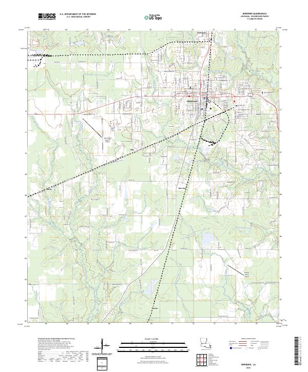 2024 DeRidder2024 Print · USGSModern Beauregard Parish maintains a strong connection to its roots through the central city of DeRidder and its surrounding mill-era settlements. Researchers can locate family landmarks at Woodlawn Cem, trace the footprint of Bon Ami, or find the Beauregard Parish Courthouse.
End of results
Showing maps 1-10 of 10
Top cities near DeRidder
Top neighborhoods of DeRidder
Frequently asked questions
- What are the different types of historical maps available for DeRidder?
- What is the oldest map of DeRidder?
- Where can I purchase historical maps of DeRidder for my home or office?
- Where can I download high-res historical maps of DeRidder?
- Are there historical topographic maps available for DeRidder?
- Is there historical aerial imagery available for DeRidder?
- Where are historical maps of DeRidder sourced from?