Old Maps of Turps, Louisiana for Genealogy
Trace your family roots with 13 historic maps of Turps. These high-res maps reveal old neighborhoods, homesites, landmarks, and streets — helping you uncover where your ancestors lived and how the area evolved over time.
- Explore historic neighborhoods: Identify where your relatives may have lived in the 1800s or 1900s.
- Compare maps over time: Trace the changes in streets, buildings, and landmarks for multi-generational research.
- Perfect for genealogy & ancestry research: Used by family historians and researchers to map out lineage and migration.
These maps are an incredible resource for exploring your personal connection to Turps's past.
Turps, LA maps
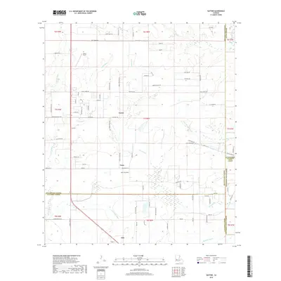
(13)- 1935 Map of Gaytine
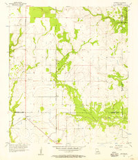
 1935 Gaytine1935 Print · USGSSouthwestern Louisiana's wetlands and timber country are captured here in the mid-1930s as the logging era left its mark on the landscape. Researchers can trace old industrial footprints through the Old Logging Railroad Grade and find small communities like Gaytine and Turps.
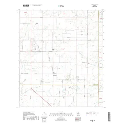
 - 1947 Map of Gaytine
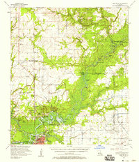
 1947 Gaytine1947 Print · USGSLouisiana's bayou country is captured in the mid-1930s as the timber and rail era left its mark across Beauregard Parish. Researchers can trace the path of the Southern Pacific and the Old Logging Railroad Grade near Gaytine and Turps.
 - 1952 Map of Lake Charles
 1952 Lake Charles1952 Print · USGSSouthwest Louisiana is captured here in the mid-fifties, showing a landscape defined by the rise of the petrochemical industry and deep-water navigation. Researchers can trace family roots through numerous small-town settlements and oil developments like Nibletts Bluff, the Lockport Oil Field, and Starks.
 - 1954 Map of Lake Charles, 1964 Print
 1954 Lake Charles1964 Print · USGSSouthwest Louisiana in the mid-fifties is defined by its massive petroleum industry and its complex network of bayous and rail lines. Researchers can trace the development of the Sulphur Mines Oil Field or locate historic settlements like Longville and De Quincy.3 unique versions available
 - 1956 Map of Gaytine, 1957 Print
 1956 Gaytine1957 Print · USGSSouthwest Louisiana in the mid-fifties is seen here as a landscape of rural bayous and timber-era rail stops. Researchers can trace the Southern Pacific line through small settlements like Gaytine and Turps or follow the waters of Marsh Bayou.2 unique versions available
 - 1957 Map of Moss Bluff, 1958 Print
 1957 Moss Bluff1958 Print · USGSCalcasieu Parish and its surrounding bayous are captured here in the late fifties as the river economy transitions toward industry. Researchers can trace family roots at Birdnest Cem or locate historic river crossings like Perkins Ferry.3 unique versions available
 - 1986 Map of Lake Charles
 1986 Lake Charles1986 Print · USGSThe Louisiana-Texas borderlands are captured here in the mid-1980s, showcasing the industrial growth of the Lake Charles region and its rail-linked satellite towns. Trace the evolution of coastal settlements and family landmarks from Sulphur to the Highland Cem.2 unique versions available
 - 1994 Map of Gaytine, 1996 Print
 1994 Gaytine1996 Print · USGSThe rural borders of Beauregard, Allen, and Calcasieu Parishes come together in the mid-1990s. Researchers can trace the local drainage along Indian Bayou and Marsh Bayou or locate small settlements like Gaytine and Turps.
 - 2012 Map of Gaytine, 2012 Print
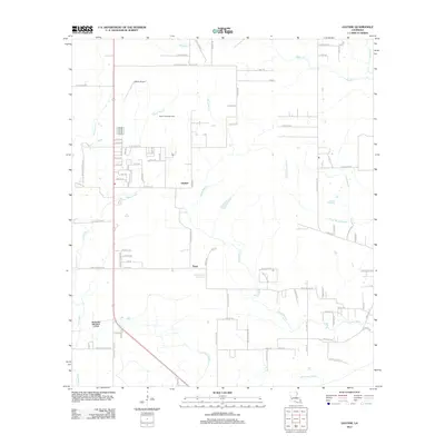 2012 Gaytine2012 Print · USGSCovers Turps, including Gaytine, Calcasieu Parish, and other nearby areas
 - 2015 Map of Gaytine, 2015 Print
 2015 Gaytine2015 Print · USGSCovers Turps, including Gaytine, Calcasieu Parish, and other nearby areas
 - 2018 Map of Gaytine, 2018 Print
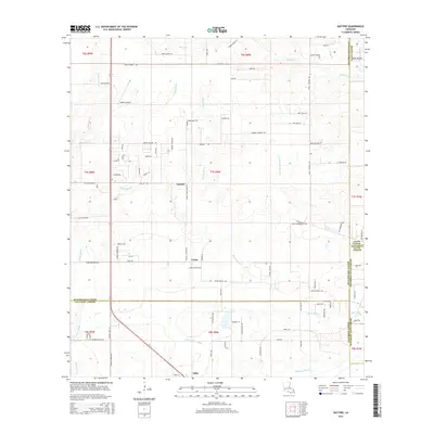
 2018 Gaytine2018 Print · USGSCovers Turps, including Gaytine, Calcasieu Parish, and other nearby areas
 - 2020 Map of Gaytine, 2020 Print
 2020 Gaytine2020 Print · USGSCovers Turps, including Gaytine, Calcasieu Parish, and other nearby areas
 - 2024 Map of Gaytine, 2024 Print
 2024 Gaytine2024 Print · USGSThe tri-parish border region of southwest Louisiana comes into focus through this contemporary survey of its wooded bayous and rural settlements. Researchers can trace the family names of early residents through Reeves Garden Cem and the roads surrounding Gaytine and Gillis.
End of results
Showing maps 1-13 of 13
Top cities near Turps
- Lake Charles historical maps
- Sulphur historical maps
- Westlake historical maps
- DeQuincy historical maps
- Iowa historical maps
- Reeves historical maps
Frequently asked questions
- What are the different types of historical maps available for Turps?
- What is the oldest map of Turps?
- Where can I purchase historical maps of Turps for my home or office?
- Where can I download high-res historical maps of Turps?
- Are there historical topographic maps available for Turps?
- Is there historical aerial imagery available for Turps?
- Where are historical maps of Turps sourced from?