Old Maps of Bienville Parish, Louisiana for Hiking & Exploration
Hike through history with 72 historic maps of Bienville Parish. Explore old trails, ghost towns, and forgotten backroads — perfect for outdoor adventurers and local explorers.
- Rediscover forgotten places: Map out old mining camps, roads, and footpaths that no longer exist on modern maps.
- Layer with modern tools: Combine with LiDAR or satellite views to plan hikes through historical terrain.
- Made for exploration: Popular among hikers, overlanders, and local history lovers.
Use these maps to find adventure and explore the hidden past of Bienville Parish.
Bienville Parish, LA maps
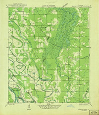
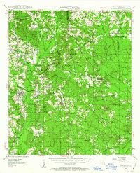
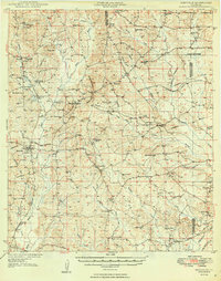
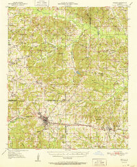
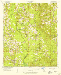
(72)- 1941 Map of East Point
 1941 East Point1941 Print · USGSCovers Bienville Parish, including Cross Roads, Crosskeys, and other nearby areas
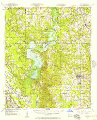
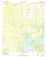
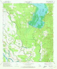
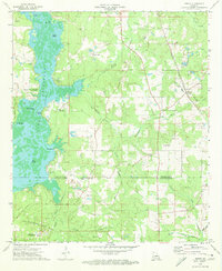
 - 1941 Map of Bossier Point
 1941 Bossier Point1941 Print · USGSCovers Bienville Parish, including Poole, Cooterville, and other nearby areas
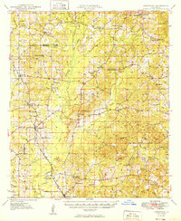
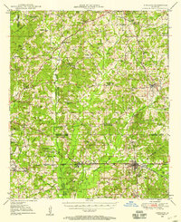
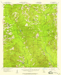
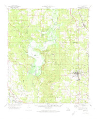
 - 1947 Map of Ringgold
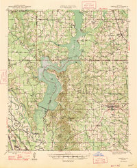 1947 Ringgold1947 Print · USGSCovers Bienville Parish, including Haughton, Ringgold, and other nearby areas
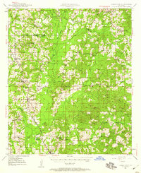
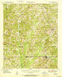
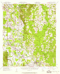
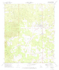
 - 1947 Map of Goldonna
 1947 Goldonna1947 Print · USGSCovers Bienville Parish, including Goldonna, Saline, and other nearby areas
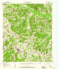
 - 1947 Map of Ashland
 1947 Ashland1947 Print · USGSCovers Bienville Parish, including Martin, Ashland, and other nearby areas
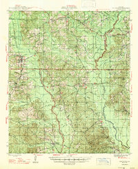
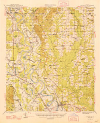
 - 1947 Map of Bienville, 1963 Print
 1947 Bienville1963 Print · USGSCovers Bienville Parish, including Bienville, Lucky, and other nearby areas2 unique versions available
 - 1948 Map of Coushatta
 1948 Coushatta1948 Print · USGSCovers Bienville Parish, including Coushatta, Martin, and other nearby areas
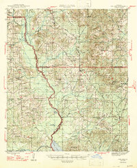
 - 1948 Map of Jamestown, 1960 Print
 1948 Jamestown1960 Print · USGSCovers Bienville Parish, including Lucky, Castor, and other nearby areas3 unique versions available
 - 1949 Map of Jamestown
 1949 Jamestown1949 Print · USGSCovers Bienville Parish, including Lucky, Castor, and other nearby areas
 - 1949 Map of Bienville
 1949 Bienville1949 Print · USGSCovers Bienville Parish, including Bienville, Lucky, and other nearby areas2 unique versions available
 - 1949 Map of Gibsland, 1958 Print
 1949 Gibsland1958 Print · USGSCovers Bienville Parish, including Minden, Gibsland, and other nearby areas2 unique versions available
 - 1950 Map of Gibsland
 1950 Gibsland1950 Print · USGSCovers Bienville Parish, including Minden, Gibsland, and other nearby areas
 - 1950 Map of Arcadia, 1960 Print
 1950 Arcadia1960 Print · USGSCovers Bienville Parish, including Arcadia, Simsboro, and other nearby areas4 unique versions available
 - 1951 Map of Arcadia
 1951 Arcadia1951 Print · USGSCovers Bienville Parish, including Arcadia, Simsboro, and other nearby areas
 - 1955 Map of Shreveport
 1955 Shreveport1955 Print · USGSCovers Bienville Parish, including Shreveport, Bossier City, and other nearby areas3 unique versions available
 - 1956 Map of Shreveport
 1956 Shreveport1956 Print · USGSCovers Bienville Parish, including Shreveport, Bossier City, and other nearby areas
 - 1956 Map of Ringgold, 1957 Print
 1956 Ringgold1957 Print · USGSCovers Bienville Parish, including Haughton, Ringgold, and other nearby areas2 unique versions available
 - 1957 Map of Goldonna
 1957 Goldonna1957 Print · USGSCovers Bienville Parish, including Goldonna, Saline, and other nearby areas3 unique versions available
 - 1957 Map of Coushatta, 1958 Print
 1957 Coushatta1958 Print · USGSCovers Bienville Parish, including Coushatta, Martin, and other nearby areas4 unique versions available
 - 1957 Map of Ashland, 1958 Print
 1957 Ashland1958 Print · USGSCovers Bienville Parish, including Martin, Ashland, and other nearby areas3 unique versions available
 - 1972 Map of Koran, 1973 Print
 1972 Koran1973 Print · USGSCovers Bienville Parish, including Haughton, Plum Orchard Landing, and other nearby areas2 unique versions available
 - 1972 Map of Ringgold, 1974 Print
 1972 Ringgold1974 Print · USGSCovers Bienville Parish, including Haughton, Ringgold, and other nearby areas
 - 1972 Map of Ringgold, 1974 Print
 1972 Ringgold1974 Print · USGSCovers Bienville Parish, including Ringgold, Woodardville, and other nearby areas
 - 1972 Map of Bossier Point, 1974 Print
 1972 Bossier Point1974 Print · USGSCovers Bienville Parish, including Poole, Cooterville, and other nearby areas2 unique versions available
 - 1972 Map of Heflin, 1974 Print
 1972 Heflin1974 Print · USGSCovers Bienville Parish, including Heflin, Swift, and other nearby areas
Showing maps 1-25 of 72
Top cities of Bienville Parish
- Arcadia historical maps
- Ringgold historical maps
- Gibsland historical maps
- Saline historical maps
- Bienville historical maps
- Lucky historical maps
See more
Frequently asked questions
- What are the different types of historical maps available for Bienville Parish?
- What is the oldest map of Bienville Parish?
- Where can I purchase historical maps of Bienville Parish for my home or office?
- Where can I download high-res historical maps of Bienville Parish?
- Are there historical topographic maps available for Bienville Parish?
- Is there historical aerial imagery available for Bienville Parish?
- Where are historical maps of Bienville Parish sourced from?