2020s Maps of Bienville Parish, Louisiana
Explore 42 historic maps of Bienville Parish from the 2020s. These maps offer a rare glimpse into what life looked like during the 2020s — showing old roads, neighborhoods, homes, and landmarks that have changed or disappeared over time.
Whether you're researching your family's past, planning a metal detecting trip, or studying how Bienville Parish's landscape evolved across the 2020s, these high-resolution maps are a powerful tool for exploring the history of this region.
- Focus on a specific era: All maps on this page are from the 2020s, giving you a focused view of this time period.
- See what’s changed: Compare century-old streets, trails, and buildings to today's modern landscape using overlays and satellite layers.
- Research with precision: Use these maps for genealogy, historical research, land use analysis, or educational projects.
- View, download, or print: Maps are fully viewable online in high resolution, and can be downloaded or printed for your own records.
Start exploring Bienville Parish's history through authentic maps from the 2020s. This is your window into the past.
Bienville Parish, LA maps
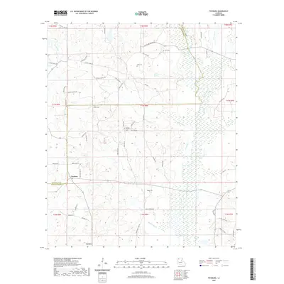
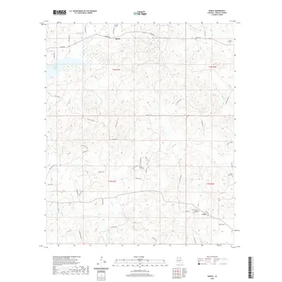
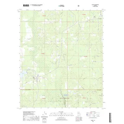
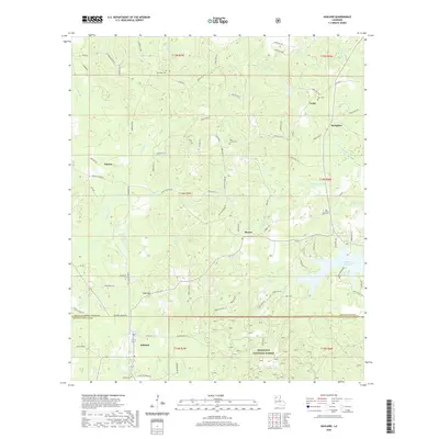
(42)- 2020 Map of Ada, 2020 Print
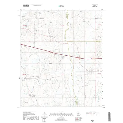 2020 Ada2020 Print · USGSCovers Bienville Parish, including Minden, Dubberly, and other nearby areas
 - 2020 Map of Wilson Creek, 2020 Print
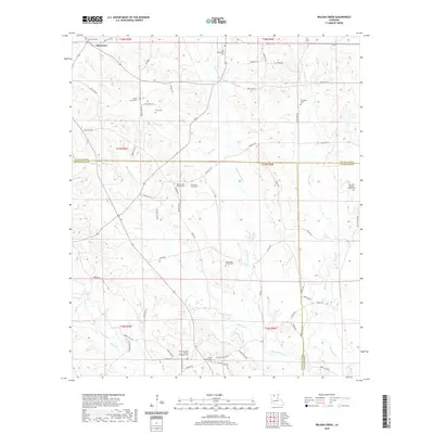 2020 Wilson Creek2020 Print · USGSCovers Bienville Parish, including Oak Grove, Lincoln Parish, and other nearby areas
 - 2020 Map of Arcadia, 2020 Print
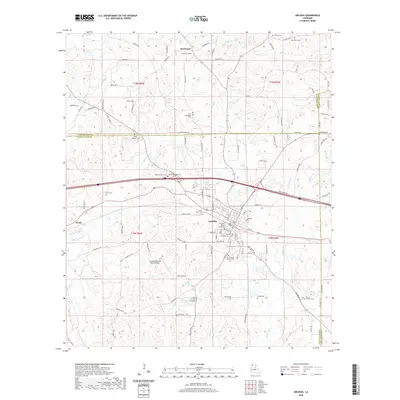 2020 Arcadia2020 Print · USGSCovers Bienville Parish, including Arcadia, Bridges Mill, and other nearby areas
 - 2020 Map of Bossier Point, 2020 Print
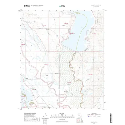 2020 Bossier Point2020 Print · USGSCovers Bienville Parish, including High Island, Cooterville, and other nearby areas
 - 2020 Map of Danville, 2020 Print
 2020 Danville2020 Print · USGSCovers Bienville Parish, including Loe, Danville, and other nearby areas
 - 2020 Map of Fryeburg, 2020 Print
 2020 Fryeburg2020 Print · USGSCovers Bienville Parish, including Fryeburg, Lawhon, and other nearby areas
 - 2020 Map of East Point, 2020 Print
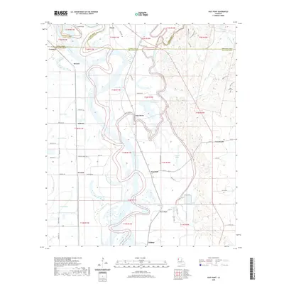 2020 East Point2020 Print · USGSCovers Bienville Parish, including Loggy Bayou, Williams, and other nearby areas
 - 2020 Map of Sailes, 2020 Print
 2020 Sailes2020 Print · USGSCovers Bienville Parish, including Bryceland, Mount Lebanon, and other nearby areas
 - 2020 Map of Bryceland, 2020 Print
 2020 Bryceland2020 Print · USGSCovers Bienville Parish, including Bienville, Bryceland, and other nearby areas
 - 2020 Map of Bienville, 2020 Print
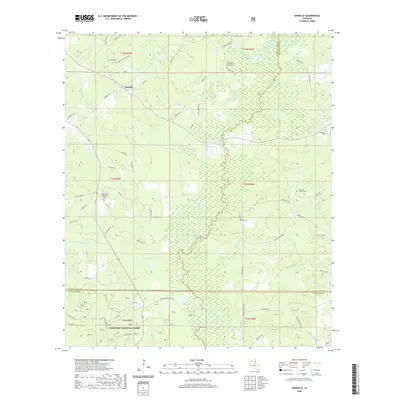
 2020 Bienville2020 Print · USGSCovers Bienville Parish, including Bienville, Lucky, and other nearby areas
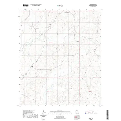
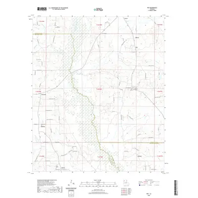
 - 2020 Map of Roy, 2020 Print
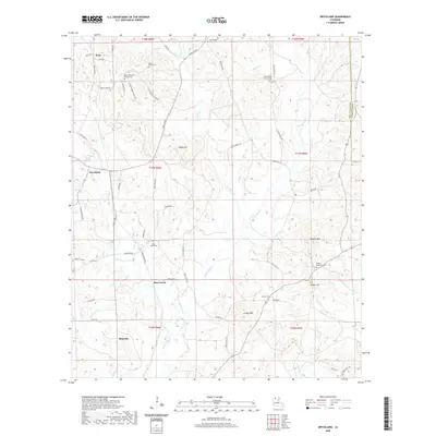
 2020 Roy2020 Print · USGSCovers Bienville Parish, including Martin, Ashland, and other nearby areas
 - 2020 Map of Hall Summit, 2020 Print
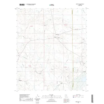
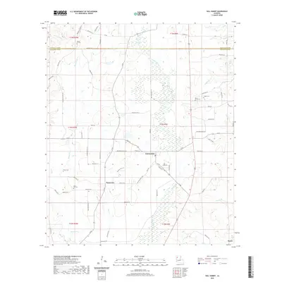 2020 Hall Summit2020 Print · USGSCovers Bienville Parish, including Martin, Hall Summit, and other nearby areas
 - 2020 Map of Sparta, 2020 Print
 2020 Sparta2020 Print · USGSCovers Bienville Parish, including Lucky, Sparta, and other nearby areas
 - 2020 Map of Jamestown, 2020 Print
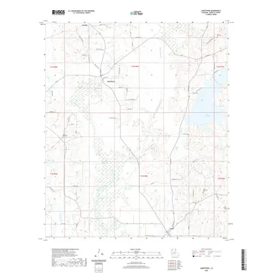 2020 Jamestown2020 Print · USGSCovers Bienville Parish, including Castor, Jamestown, and other nearby areas
 - 2020 Map of Koran, 2020 Print
 2020 Koran2020 Print · USGSCovers Bienville Parish, including Haughton, Koran, and other nearby areas
 - 2020 Map of Mount Olive, 2020 Print
 2020 Mount Olive2020 Print · USGSCovers Bienville Parish, including English, New Friendship, and other nearby areas
 - 2020 Map of Saline, 2020 Print
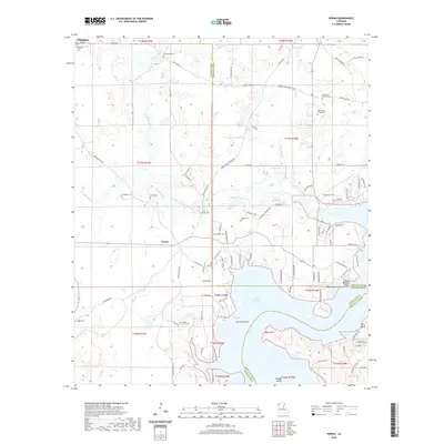
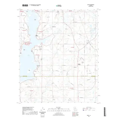
 2020 Saline2020 Print · USGSCovers Bienville Parish, including Saline, Lucky, and other nearby areas
 - 2020 Map of Ringgold, 2020 Print
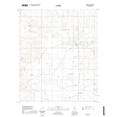 2020 Ringgold2020 Print · USGSCovers Bienville Parish, including Ringgold, Woodardville, and other nearby areas
 - 2020 Map of Heflin, 2020 Print
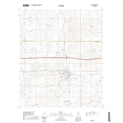
 2020 Heflin2020 Print · USGSCovers Bienville Parish, including Heflin, Swift, and other nearby areas
 - 2020 Map of Gibsland, 2020 Print
 2020 Gibsland2020 Print · USGSCovers Bienville Parish, including Gibsland, Mount Lebanon, and other nearby areas
 - 2020 Map of Ashland, 2020 Print
 2020 Ashland2020 Print · USGSCovers Bienville Parish, including Ashland, Lucky, and other nearby areas
 - 2024 Map of Hall Summit, 2024 Print
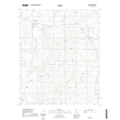
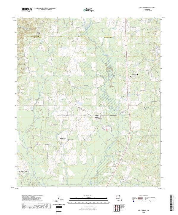 2024 Hall Summit2024 Print · USGSHall Summit and the surrounding parish borderlands are shown here in the 2020s, revealing a landscape of rural roads and bayous. Genealogists can trace family burial sites like Social Springs Cem and Mount Zion Cem near Grand Bayou.
 - 2024 Map of Bienville, 2024 Print
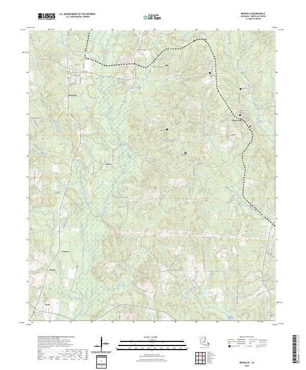 2024 Bienville2024 Print · USGSThe rural landscapes of Bienville Parish are captured here in the contemporary era, showing a region of creeks and timber. Genealogists can locate several local burial sites including New Raspberry Cem and Taylor Cem, alongside settlements like Liberty Hill and Lucky.
 - 2024 Map of Bryceland, 2024 Print
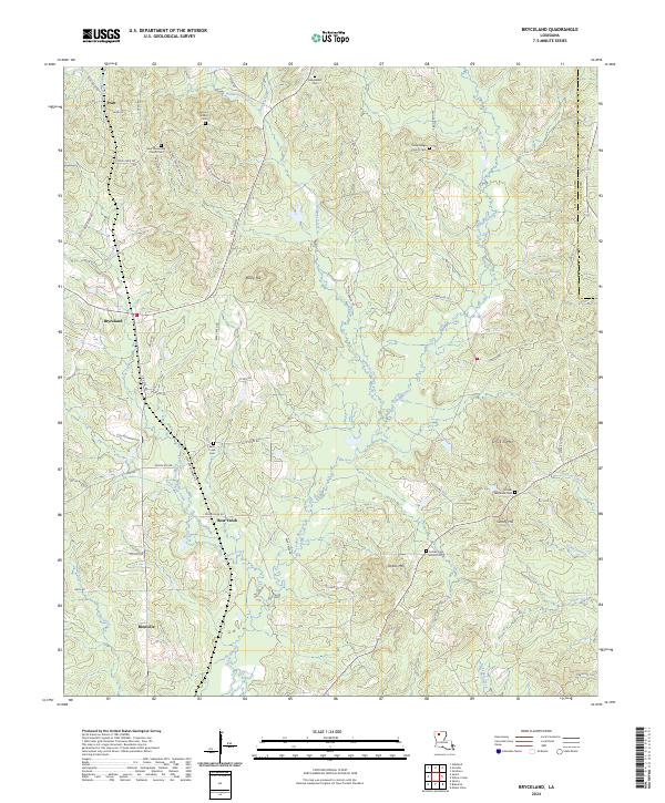 2024 Bryceland2024 Print · USGSBienville Parish in the 2020s remains a landscape of high ridges and creek bottoms where family history is etched into the terrain. Researchers can locate numerous burial sites and landmarks like Driskill Memorial Cem, Driskill Mtn, and the rural community of Bryceland.
 - 2024 Map of Gibsland, 2024 Print
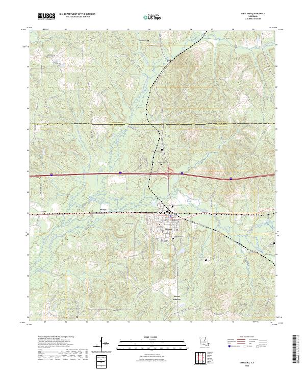 2024 Gibsland2024 Print · USGSThe crossroads of Bienville and Claiborne Parishes are captured here in the 2020s, centered on the historic hub of Gibsland. Genealogists can trace deep local roots through numerous community sites like Palestine Church Cem, Oak Grove Church, and Mount Lebanon.
Showing maps 1-25 of 42
Top cities of Bienville Parish
- Arcadia historical maps
- Ringgold historical maps
- Gibsland historical maps
- Saline historical maps
- Bienville historical maps
- Lucky historical maps
See more
Frequently asked questions
- What are the different types of historical maps available for Bienville Parish?
- What is the oldest map of Bienville Parish?
- Where can I purchase historical maps of Bienville Parish for my home or office?
- Where can I download high-res historical maps of Bienville Parish?
- Are there historical topographic maps available for Bienville Parish?
- Is there historical aerial imagery available for Bienville Parish?
- Where are historical maps of Bienville Parish sourced from?