2010s Maps of Bienville Parish, Louisiana
Explore 63 historic maps of Bienville Parish from the 2010s. These maps offer a rare glimpse into what life looked like during the 2010s — showing old roads, neighborhoods, homes, and landmarks that have changed or disappeared over time.
Whether you're researching your family's past, planning a metal detecting trip, or studying how Bienville Parish's landscape evolved across the 2010s, these high-resolution maps are a powerful tool for exploring the history of this region.
- Focus on a specific era: All maps on this page are from the 2010s, giving you a focused view of this time period.
- See what’s changed: Compare century-old streets, trails, and buildings to today's modern landscape using overlays and satellite layers.
- Research with precision: Use these maps for genealogy, historical research, land use analysis, or educational projects.
- View, download, or print: Maps are fully viewable online in high resolution, and can be downloaded or printed for your own records.
Start exploring Bienville Parish's history through authentic maps from the 2010s. This is your window into the past.
Bienville Parish, LA maps
(63)- 2012 Map of Bryceland, 2012 Print
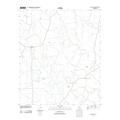 2012 Bryceland2012 Print · USGSThe northern Louisiana hills are mapped here during the early twenty-first century, centered on the village of Bryceland. Researchers can locate the Mount Gillard Cem, the heights of Driskill Mountain, and the Gentry Hill Lookout Tower near the winding Saline Bayou.
 - 2012 Map of Danville, 2012 Print
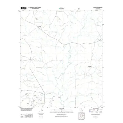 2012 Danville2012 Print · USGSNorthern Louisiana's timber and gas lands are shown here as they appeared in the early 2010s. Researchers can locate the Danville Gas Field, trace the winding path of Fouse Bayou, and find family history at Danville Cem and McDonald Cem.
 - 2012 Map of Arcadia, 2012 Print
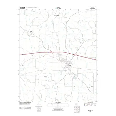 2012 Arcadia2012 Print · USGSArcadia and the surrounding Bienville Parish woodlands are captured here during the early twenty-first century. Researchers can trace rural settlement patterns and local lineage through landmarks like Bridges Mill, Fords, and the Givens-McGuire Cem.
 - 2012 Map of Mount Olive, 2012 Print
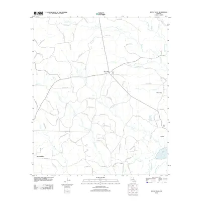 2012 Mount Olive2012 Print · USGSNorth-central Louisiana's rural landscape is mapped here in the early twenty-first century, showing the crossroads and creek-side settlements of Bienville Parish. Researchers can pinpoint Mount Olive Cem, the community of New Friendship, and the winding Dugdemona River.
 - 2012 Map of Wilson Creek, 2012 Print
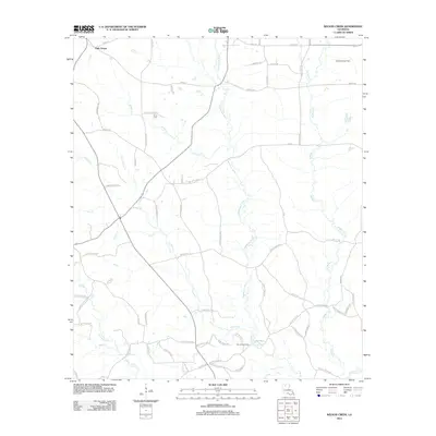 2012 Wilson Creek2012 Print · USGSLincoln Parish comes into focus during the early twenty-first century as a landscape of timber, winding creeks, and active gas fields. Genealogists and local historians can locate Pruitt Cem and trace the reaches of the Dugdemona River and Simsboro Gas Field.
 - 2012 Map of Fryeburg, 2012 Print
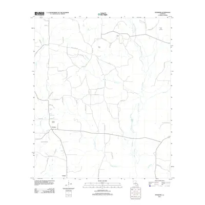 2012 Fryeburg2012 Print · USGSIn the early 21st century, the area around Fryeburg and Lawhon remains a landscape of bayous and active energy production. Researchers can trace family history at Walker Cem or locate former industrial landmarks like the Jamestown Gas Field and Charlie Airport.
 - 2012 Map of Sparta, 2012 Print
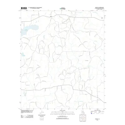 2012 Sparta2012 Print · USGSLouisiana's Bienville Parish shows its rural character and energy industry just over a decade ago. Genealogists and local historians can trace family locations near Sparta, the Camp Ground Cem, or along the banks of Kepler Creek Lake and Watts Br.
 - 2012 Map of Gibsland, 2012 Print
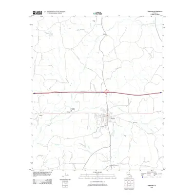 2012 Gibsland2012 Print · USGSGibsland and the surrounding Bienville Parish countryside are shown here in the early twenty-first century. Researchers can trace the rural legacy of the area through family burial grounds like Caldwell Cem and local landmarks at Mount Lebanon and Machens Spur.
 - 2012 Map of Sailes, 2012 Print
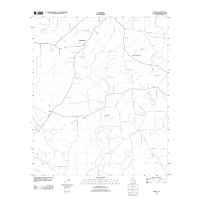 2012 Sailes2012 Print · USGSBienville Parish near the turn of the decade is a landscape of active energy production and quiet rural communities. Researchers can locate family landmarks like Mount Lebanon Cem, the settlement of Pleasant Hill, and the extensive Bear Creek Gas Field.
 - 2012 Map of Ringgold, 2012 Print
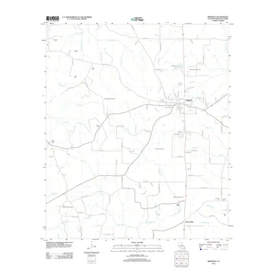 2012 Ringgold2012 Print · USGSLouisiana's Bienville Parish is seen here in the early twenty-first century, showing the transition from traditional rural life to an active energy-extraction landscape. Researchers can locate numerous family burial sites like Tooke Cem and Shehee Cem or trace the extent of the Ringgold Gas Field.
 - 2012 Map of Roy, 2012 Print
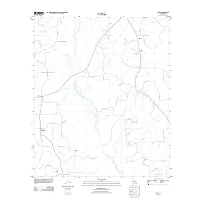 2012 Roy2012 Print · USGSRed River Parish in the early 2010s reveals a landscape of small settlements and active energy resources. Researchers can trace rural lineages at Bethel Cem and Newman Cem, or locate historic sites in Alberta and Womack.
 - 2012 Map of Heflin, 2012 Print
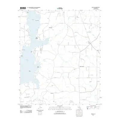 2012 Heflin2012 Print · USGSHeflin and the surrounding Webster Parish countryside are mapped here during a period of active energy production and rural expansion. Genealogists and local historians can trace family locations through numerous sites like Union Cem, Yellow Pine, and the Sibley Gas and Oil Field.
 - 2012 Map of Jamestown, 2012 Print
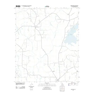 2012 Jamestown2012 Print · USGSNorth Louisiana’s pine-strewn bayou country appears here in the early twenty-first century, centered on the communities of Jamestown and Castor. Researchers can locate family sites near Bryan Cem or trace the old roads leading to Old Castor and the Sailes Lookout Tower.
 - 2012 Map of Ada, 2012 Print
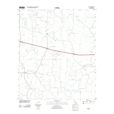 2012 Ada2012 Print · USGSNorth of Lake Bistineau in the 2010s, this Webster Parish landscape centers on the historic crossroads of Nine Forks and the village of Ada. Genealogists can trace deep local roots through a high density of rural burial sites, including Beck Cem and Fellowship Cem.
 - 2012 Map of Saline, 2012 Print
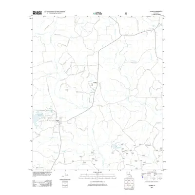 2012 Saline2012 Print · USGSLouisiana's Bienville Parish is captured here in the early twenty-first century, centered on the community of Saline. Researchers can trace the local landscape through features like the Saline Gas Field, Friendship, and the waters of Saline Bayou.
 - 2012 Map of Ashland, 2012 Print
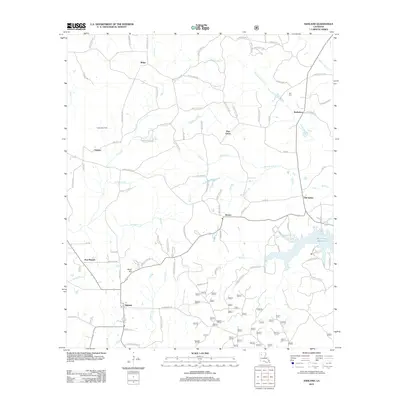 2012 Ashland2012 Print · USGSNatchitoches Parish at the beginning of the twenty-first century reveals a landscape of quiet communities and winding bayous. Genealogists and local historians can trace family roots through landmarks like the Burt Cem, Shell Hill, and the settlement at Old Saline.
 - 2012 Map of Bienville, 2012 Print
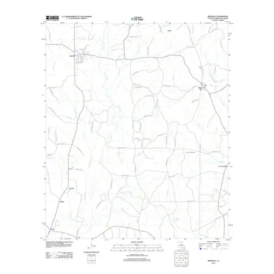 2012 Bienville2012 Print · USGSNorth Louisiana’s pine-timber and gas-production landscape is well-detailed in this survey of Bienville Parish during the early 2010s. Genealogists and local historians can locate rural landmarks like Taylor Cem, the Liberty Hill Gas Field, and the settlement of Lucky.
 - 2012 Map of Hall Summit, 2012 Print
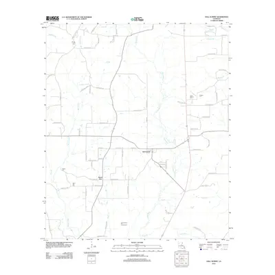 2012 Hall Summit2012 Print · USGSRed River Parish at the start of the decade reveals a landscape of dispersed settlements and active resource extraction. Genealogists and historians can trace family locations near Hall Summit, Mount Zion Cem, and the Bracky Branch Oil and Gas Field.
 - 2012 Map of East Point, 2012 Print
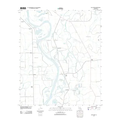 2012 East Point2012 Print · USGSRed River Parish's river-bottom lands and energy fields are shown here in the early 2010s. Researchers can locate family landmarks like Saint Marks Cem and the small communities of East Point and Ninock amidst the basin's complex bayous.
 - 2012 Map of Koran, 2012 Print
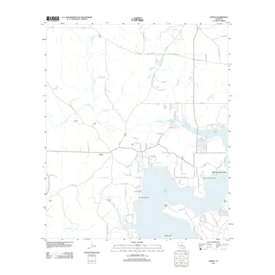 2012 Koran2012 Print · USGSLouisiana's Bossier Parish bayou country is captured in the early twenty-first century as rural homesteads and timberlands surround the waters of Tadpole Lake. Genealogists can trace family connections through numerous local landmarks like Koran Cem, Marshall Cem, and Plum Orchard Landing.
 - 2012 Map of Bossier Point, 2012 Print
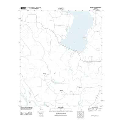 2012 Bossier Point2012 Print · USGSBossier Parish, Louisiana, is captured here in the early twenty-first century as a landscape of wide bayous, river bends, and active oil fields. Researchers can locate the Mary Magdalene Cem and trace old family sites near Loggy Bayou Plantation Airport and Vickers Landing.
 - 2015 Map of Ada, 2015 Print
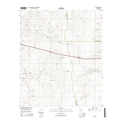 2015 Ada2015 Print · USGSNorthwest Louisiana's rural crossroads and parish lines are documented here in the mid-2010s. Genealogists can trace family landmarks like Holoman Cem, Fellowship Cem, and the settlement at Nine Forks along the banks of Black Lake Bayou.
 - 2015 Map of Gibsland, 2015 Print
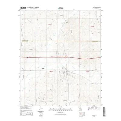 2015 Gibsland2015 Print · USGSGibsland and the surrounding pine woods of Bienville Parish are captured here during a period of modern growth and rural continuity. Genealogists and historians can trace family roots through the grids of Gibsland, the settlement at Mount Lebanon, and the historic Whitley Cem.
 - 2015 Map of Bossier Point, 2015 Print
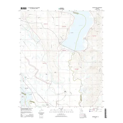 2015 Bossier Point2015 Print · USGSBossier Parish and the neighboring wetlands of Bienville Parish are shown here during the early twenty-first century. Genealogists and local historians can trace the rural landscape around Ninock, Cooterville, and the Mary Magdalene Cem.
 - 2015 Map of Saline, 2015 Print
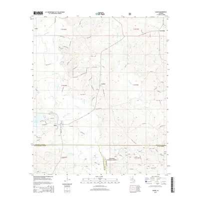 2015 Saline2015 Print · USGSIn this northern Louisiana parish country, the settlement at Saline serves as a hub for the surrounding pine woods and bayous. Genealogists and local historians can trace family-named landmarks and rural outposts like Lucky, Friendship, and Carolina near the Kisatchie National Forest.
Showing maps 1-25 of 63
Top cities of Bienville Parish
- Arcadia historical maps
- Ringgold historical maps
- Gibsland historical maps
- Saline historical maps
- Bienville historical maps
- Lucky historical maps
See more
Frequently asked questions
- What are the different types of historical maps available for Bienville Parish?
- What is the oldest map of Bienville Parish?
- Where can I purchase historical maps of Bienville Parish for my home or office?
- Where can I download high-res historical maps of Bienville Parish?
- Are there historical topographic maps available for Bienville Parish?
- Is there historical aerial imagery available for Bienville Parish?
- Where are historical maps of Bienville Parish sourced from?