Old Maps of Bienville Parish, Louisiana for Metal Detecting
Plan your next treasure hunt with 72 historic maps of Bienville Parish. Find old homesites, ghost towns, trails, and gathering spots that may be lost to time — perfect for identifying promising metal detecting locations.
- Locate forgotten sites: Uncover places like long-lost settlements, abandoned rail lines, or gathering spots.
- Plan better hunts: Use map overlays combined with LiDAR or satellite views to narrow in on historically rich areas.
- Made for detectorists: Thousands of hobbyists use these maps to discover relics, coins, and hidden history.
Use these historic maps to boost your research and find new opportunities beneath the surface of Bienville Parish.
Bienville Parish, LA maps
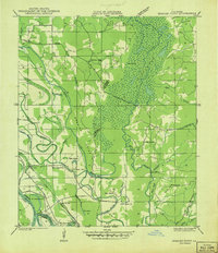
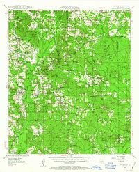
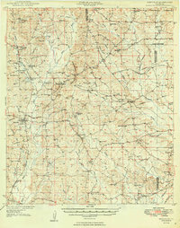
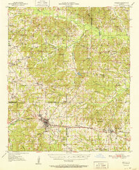
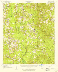
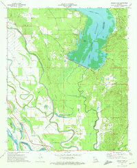
(72)- 1941 Map of East Point
 1941 East Point1941 Print · USGSCovers Bienville Parish, including Cross Roads, Crosskeys, and other nearby areas
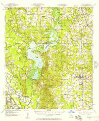
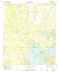
 - 1941 Map of Bossier Point
 1941 Bossier Point1941 Print · USGSCovers Bienville Parish, including Poole, Cooterville, and other nearby areas
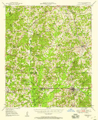
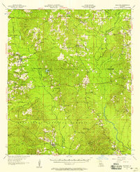
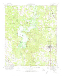
 - 1947 Map of Ringgold
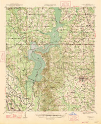 1947 Ringgold1947 Print · USGSCovers Bienville Parish, including Haughton, Ringgold, and other nearby areas
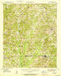
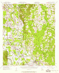
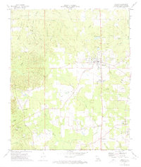
 - 1947 Map of Goldonna
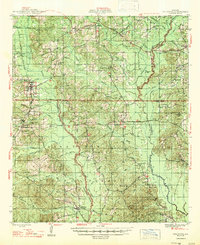 1947 Goldonna1947 Print · USGSCovers Bienville Parish, including Goldonna, Saline, and other nearby areas
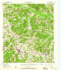
 - 1947 Map of Ashland
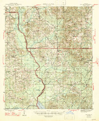 1947 Ashland1947 Print · USGSCovers Bienville Parish, including Martin, Ashland, and other nearby areas
 - 1947 Map of Bienville, 1963 Print
 1947 Bienville1963 Print · USGSCovers Bienville Parish, including Bienville, Lucky, and other nearby areas2 unique versions available
 - 1948 Map of Coushatta
 1948 Coushatta1948 Print · USGSCovers Bienville Parish, including Coushatta, Martin, and other nearby areas
 - 1948 Map of Jamestown, 1960 Print
 1948 Jamestown1960 Print · USGSCovers Bienville Parish, including Lucky, Castor, and other nearby areas3 unique versions available
 - 1949 Map of Jamestown
 1949 Jamestown1949 Print · USGSCovers Bienville Parish, including Lucky, Castor, and other nearby areas
 - 1949 Map of Bienville
 1949 Bienville1949 Print · USGSCovers Bienville Parish, including Bienville, Lucky, and other nearby areas2 unique versions available
 - 1949 Map of Gibsland, 1958 Print
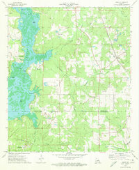
 1949 Gibsland1958 Print · USGSCovers Bienville Parish, including Minden, Gibsland, and other nearby areas2 unique versions available
 - 1950 Map of Gibsland
 1950 Gibsland1950 Print · USGSCovers Bienville Parish, including Minden, Gibsland, and other nearby areas
 - 1950 Map of Arcadia, 1960 Print
 1950 Arcadia1960 Print · USGSCovers Bienville Parish, including Arcadia, Simsboro, and other nearby areas4 unique versions available
 - 1951 Map of Arcadia
 1951 Arcadia1951 Print · USGSCovers Bienville Parish, including Arcadia, Simsboro, and other nearby areas
 - 1955 Map of Shreveport
 1955 Shreveport1955 Print · USGSCovers Bienville Parish, including Shreveport, Bossier City, and other nearby areas3 unique versions available
 - 1956 Map of Shreveport
 1956 Shreveport1956 Print · USGSCovers Bienville Parish, including Shreveport, Bossier City, and other nearby areas
 - 1956 Map of Ringgold, 1957 Print
 1956 Ringgold1957 Print · USGSCovers Bienville Parish, including Haughton, Ringgold, and other nearby areas2 unique versions available
 - 1957 Map of Goldonna
 1957 Goldonna1957 Print · USGSCovers Bienville Parish, including Goldonna, Saline, and other nearby areas3 unique versions available
 - 1957 Map of Coushatta, 1958 Print
 1957 Coushatta1958 Print · USGSCovers Bienville Parish, including Coushatta, Martin, and other nearby areas4 unique versions available
 - 1957 Map of Ashland, 1958 Print
 1957 Ashland1958 Print · USGSCovers Bienville Parish, including Martin, Ashland, and other nearby areas3 unique versions available
 - 1972 Map of Koran, 1973 Print
 1972 Koran1973 Print · USGSCovers Bienville Parish, including Haughton, Plum Orchard Landing, and other nearby areas2 unique versions available
 - 1972 Map of Ringgold, 1974 Print
 1972 Ringgold1974 Print · USGSCovers Bienville Parish, including Haughton, Ringgold, and other nearby areas
 - 1972 Map of Ringgold, 1974 Print
 1972 Ringgold1974 Print · USGSCovers Bienville Parish, including Ringgold, Woodardville, and other nearby areas
 - 1972 Map of Bossier Point, 1974 Print
 1972 Bossier Point1974 Print · USGSCovers Bienville Parish, including Poole, Cooterville, and other nearby areas2 unique versions available
 - 1972 Map of Heflin, 1974 Print
 1972 Heflin1974 Print · USGSCovers Bienville Parish, including Heflin, Swift, and other nearby areas
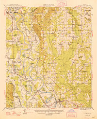
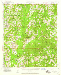
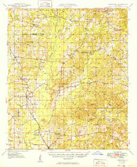
Showing maps 1-25 of 72
Top cities of Bienville Parish
- Arcadia historical maps
- Ringgold historical maps
- Gibsland historical maps
- Saline historical maps
- Bienville historical maps
- Lucky historical maps
See more
Frequently asked questions
- What are the different types of historical maps available for Bienville Parish?
- What is the oldest map of Bienville Parish?
- Where can I purchase historical maps of Bienville Parish for my home or office?
- Where can I download high-res historical maps of Bienville Parish?
- Are there historical topographic maps available for Bienville Parish?
- Is there historical aerial imagery available for Bienville Parish?
- Where are historical maps of Bienville Parish sourced from?