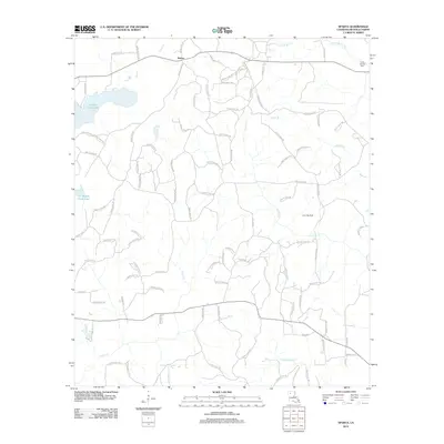
2012 Map of Sparta
USGS Topo · Published 2012About this map
Sparta sits at the northern edge of this Bienville Parish survey, surrounded by a dense network of local routes like Tom Murphy Rd and Piney Woods Rd. The landscape is defined by its water system, most notably the wide expanse of Kepler Creek Lake and numerous drainage ways including Edwards Mill Cr and Blooms Mill Cr, which suggest a history of localized water-powered industry. The rural character is further detailed by the presence of the Camp Ground Cem and the Lucky Gas Field, illustrating the dual importance of family heritage and natural resource extraction in this part of Louisiana. From the banks of Castor Cr to the winding course of Sixmile Cr, the map provides a clear look at the parish road system and topographic features as they appeared in 2012.
Find a feature on this map
92 named features on this map. Tap any name to fly to it.
Don’t see what you’re looking for? This feature index may not catch every label — zoom into the map to look around manually.
Map Details
Editions of this 2012 Sparta Map
This is the sole edition of this map. No revisions or reprints were ever made.
Other maps of this area

1947 · Goldonna
USGS Topo · 1:62,500

1947 · Ashland
USGS Topo · 1:62,500

1947 · Bienville
USGS Topo · 1:62,500

1948 · Jamestown
USGS Topo · 1:62,500

1949 · Jamestown
USGS Topo · 1:62,500

1949 · Bienville
USGS Topo · 1:62,500

1955 · Shreveport
USGS Topo · 1:250,000

1956 · Shreveport
USGS Topo · 1:250,000

1957 · Goldonna
USGS Topo · 1:62,500

1957 · Ashland
USGS Topo · 1:62,500