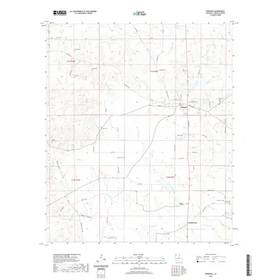
2020 Map of Ringgold
USGS Topo · Published 2020About this map
Ringgold serves as the central hub of this Bienville Parish landscape, where the intersection of Bienville Rd and Military Rd anchors the local community. The surrounding terrain is defined by a dense network of waterways, including the winding Grand Bayou and smaller tributaries like Toulon Bayou and Sanders Cr. This survey is particularly useful for genealogical research, as it identifies numerous family-named burial grounds scattered across the countryside, such as Shehee Cem, Tooke Cem, and Mosley Cem. To the south, the small settlements of Tullis and Woodardville sit near the banks of Red Br and Wimberly Br, illustrating the historical pattern of rural clusters established along the region's creek systems and parish roads.
Find a feature on this map
74 named features on this map. Tap any name to fly to it.
Don’t see what you’re looking for? This feature index may not catch every label — zoom into the map to look around manually.
Map Details
Editions of this 2020 Ringgold Map
This is the sole edition of this map. No revisions or reprints were ever made.
Other maps of this area

1941 · East Point
USGS Topo · 1:31,680

1941 · Bossier Point
USGS Topo · 1:31,680

1947 · Ringgold
USGS Topo · 1:62,500

1947 · Ashland
USGS Topo · 1:62,500

1948 · Coushatta
USGS Topo · 1:62,500

1948 · Jamestown
USGS Topo · 1:62,500

1949 · Jamestown
USGS Topo · 1:62,500

1955 · Shreveport
USGS Topo · 1:250,000

1956 · Shreveport
USGS Topo · 1:250,000

1956 · Ringgold
USGS Topo · 1:62,500