Old Maps of Ida, Louisiana for Metal Detecting
Plan your next treasure hunt with 26 historic maps of Ida. Find old homesites, ghost towns, trails, and gathering spots that may be lost to time — perfect for identifying promising metal detecting locations.
- Locate forgotten sites: Uncover places like long-lost settlements, abandoned rail lines, or gathering spots.
- Plan better hunts: Use map overlays combined with LiDAR or satellite views to narrow in on historically rich areas.
- Made for detectorists: Thousands of hobbyists use these maps to discover relics, coins, and hidden history.
Use these historic maps to boost your research and find new opportunities beneath the surface of Ida.
Ida, LA maps
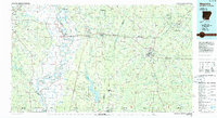
(26)- 1932 Map of Hosston NW
 1932 Hosston NW1932 Print · USGSCaddo Parish sits at the intersection of Louisiana, Texas, and Arkansas in the early 1930s, defined by its bayous and early industrial rail lines. Genealogists and researchers can trace family landmarks like Walnut Hill Cem, Pine Valley Sch, and the rail stops at Rodessa and Mira.
 - 1948 Map of Vivian
 1948 Vivian1948 Print · USGSUpper Caddo Parish in the late 1940s is defined by the winding Red River and a thriving rail-and-oil economy. Genealogists can trace family roots through numerous rural landmarks like the Oil Refinery near Lewis, the Miller Bluff Ferry, and Egypt Hill Cem.
 - 1952 Map of Doddridge, 1953 Print
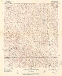 1952 Doddridge1953 Print · USGSThe Arkansas-Louisiana borderlands come alive in this mid-century survey of Miller County and Caddo Parish. Genealogists can locate family-named landmarks like Capps City or Brightstar and trace rural congregations at Concord Ch and Oak Grove Ch.5 unique versions available
 - 1953 Map of El Dorado, 1967 Print
 1953 El Dorado1967 Print · USGSSouth Arkansas in the mid-1960s was a landscape of industrial growth and river-fed commerce. Researchers can trace the extensive Oil and Gas Fields around Magnolia, the expansive U S Naval Ammunition Depot, and the busy rail lines of the Missouri Pacific.3 unique versions available
 - 1955 Map of Shreveport
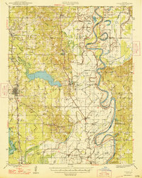
 1955 Shreveport1955 Print · USGSNorthern Louisiana in the mid-fifties is captured here as a landscape of military bases, vast oil fields, and burgeoning college towns. Genealogists and historians can trace the rail-and-river economy through the Monroe Gas Field, Grambling College, and Barksdale Air Force Base.3 unique versions available
 - 1956 Map of Shreveport
 1956 Shreveport1956 Print · USGSNorthern Louisiana during the mid-fifties presents a complex landscape of booming oil fields and strategic military installations. Genealogists and historians can trace the infrastructure of the Monroe Gas Field and family-named locales from Cotton Valley to Jonesboro.
 - 1956 Map of Vivian, 1958 Print
 1956 Vivian1958 Print · USGSCaddo Parish was a hub of energy production and river commerce in the mid-1950s as the oil industry transformed rural Louisiana. Researchers can trace family history through local landmarks like Centerville Cem, St Marks Ch, and North Caddo High Sch.2 unique versions available
 - 1957 Map of El Dorado
 1957 El Dorado1957 Print · USGSSouth Arkansas in the mid-1950s was a critical hub of military logistics and rail-river commerce. Genealogists and historians can trace family land across the Arkansas Louisiana border and locate sites like the U.S. Naval Ammunition Depot or the rail junctions at Magnolia and Camden.
 - 1958 Map of El Dorado
 1958 El Dorado1958 Print · USGSSouthern Arkansas and the Louisiana borderlands are shown during a period of heavy rail traffic and defense industry activity. Researchers can trace the legacy of the U. S. Naval Ammunition Depot or locate family roots in Smackover, Huttig, and Nashville.3 unique versions available
 - 1960 Map of El Dorado
 1960 El Dorado1960 Print · USGSSouth Central Arkansas in the late fifties was a hub of energy production and defense industry. Researchers can trace the extensive Oil and Gas Fields around El Dorado or locate family landmarks like Old Park Cem and New Hope Church.
 - 1971 Map of Vivian North, 1973 Print
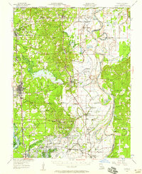
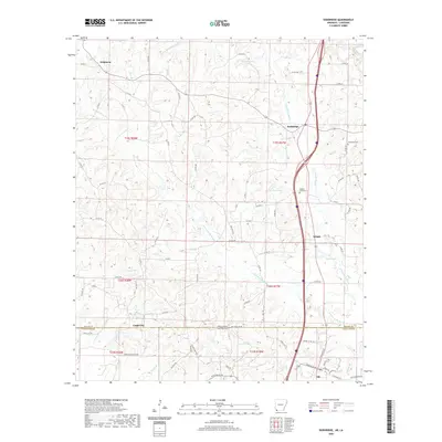
 1971 Vivian North1973 Print · USGSCaddo Parish in the early 1970s was a hub of energy production and rail transport, centered around the sprawling Black Bayou Lake. Genealogists and local historians can trace family roots through sites like Slaughter Cem, the North Caddo Community Sch, and the busy Rodessa Oil and Gas Field.
 - 1971 Map of Vivian, 1974 Print
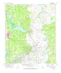 1971 Vivian1974 Print · USGSCaddo Parish at the start of the 1970s shows a landscape transformed by the energy industry and an intricate network of bayous. Researchers can trace family sites at Centerville Cem and Antioch Ch or explore the rail hubs of Vivian and Oil City.2 unique versions available
 - 1984 Map of Shreveport
 1984 Shreveport1984 Print · USGSNorthern Louisiana at the peak of the 1980s reveals a landscape of massive water management projects and Cold War military hubs. Trace the rail lines of the Kansas City Southern Ry past Barksdale Air Force Base and the high ground of Driskill Mountain.2 unique versions available
 - 1986 Map of Magnolia
 1986 Magnolia1986 Print · USGSThe Arkansas-Louisiana borderlands in the mid-1980s are defined by the river systems and the reach of the petroleum industry. Genealogists and historians can trace the St Louis Southwestern Railroad through Stamps or locate rural sites like Cleveland Cem and Brightstar.2 unique versions available
 - 1986 Map of Shreveport North
 1986 Shreveport North1986 Print · USGSNorthern Louisiana in the mid-eighties shows a landscape of expansive river bottoms and growing suburban centers. Genealogists and historians can trace the development of Shreveport, the infrastructure of Barksdale Air Force Base, and rural life in Rocky Mount.2 unique versions available
 - 1989 Map of El Dorado, 1990 Print
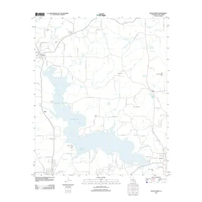
 1989 El Dorado1990 Print · USGSThe Arkansas-Louisiana borderlands in the late eighties show a landscape of heavy industry and wildlife conservation centered on the Ouachita River. Researchers can trace the legacy of timber and transport via the Missouri Pacific RR, Poison Springs State Forest, and the vast Felsenthal Pool.
 - 2011 Map of Doddridge, 2011 Print
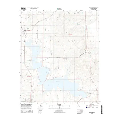
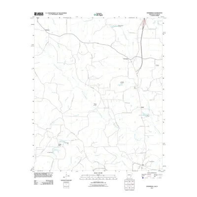 2011 Doddridge2011 Print · USGSCovers Ida, including Capps City, Kiblah, and other nearby areas
 - 2012 Map of Vivian North, 2012 Print
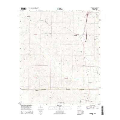
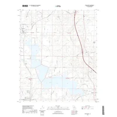
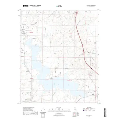
 2012 Vivian North2012 Print · USGSCovers Ida, including Vivian, Hosston, and other nearby areas
 - 2014 Map of Doddridge, 2014 Print
 2014 Doddridge2014 Print · USGSCovers Ida, including Capps City, Kiblah, and other nearby areas
 - 2015 Map of Vivian North, 2015 Print
 2015 Vivian North2015 Print · USGSCovers Ida, including Vivian, Hosston, and other nearby areas
 - 2017 Map of Doddridge, 2017 Print
 2017 Doddridge2017 Print · USGSCovers Ida, including Capps City, Kiblah, and other nearby areas
 - 2018 Map of Vivian North, 2018 Print
 2018 Vivian North2018 Print · USGSCovers Ida, including Vivian, Hosston, and other nearby areas
 - 2020 Map of Doddridge, 2020 Print
 2020 Doddridge2020 Print · USGSCovers Ida, including Capps City, Kiblah, and other nearby areas
 - 2020 Map of Vivian North, 2020 Print
 2020 Vivian North2020 Print · USGSCovers Ida, including Vivian, Hosston, and other nearby areas
 - 2024 Map of Doddridge, 2024 Print
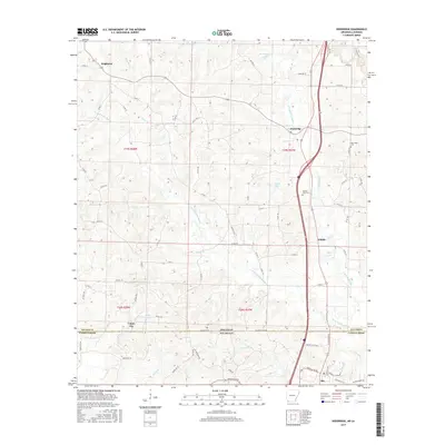
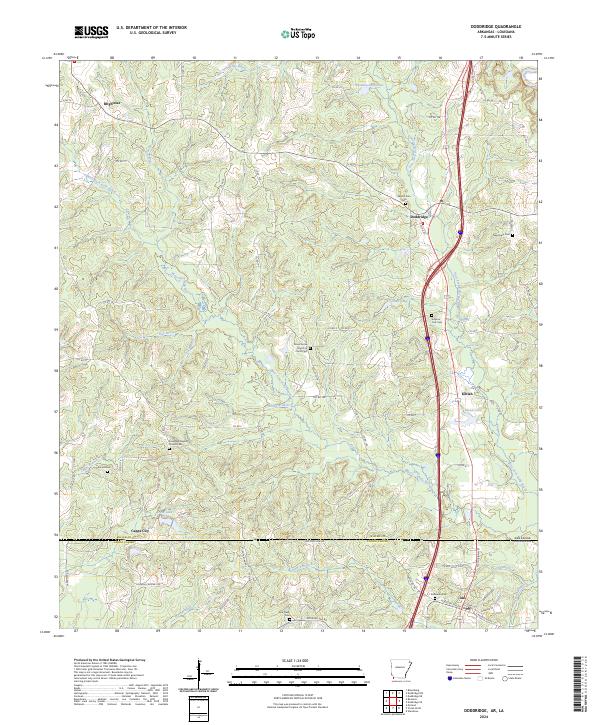 2024 Doddridge2024 Print · USGSMiller County and Caddo Parish meet at the state line in this contemporary record of the Arkansas-Louisiana borderlands. Genealogists can trace family landmarks at Evergreen Baptist Church Cem and old settlements like Brightstar and Kiblah.
Showing maps 1-25 of 26
Top cities near Ida
- Atlanta historical maps
- Vivian historical maps
- Plain Dealing historical maps
- Hosston historical maps
- Bloomburg historical maps
- Rodessa historical maps
See more
Frequently asked questions
- What are the different types of historical maps available for Ida?
- What is the oldest map of Ida?
- Where can I purchase historical maps of Ida for my home or office?
- Where can I download high-res historical maps of Ida?
- Are there historical topographic maps available for Ida?
- Is there historical aerial imagery available for Ida?
- Where are historical maps of Ida sourced from?