Old Maps of Harbor, Louisiana for Genealogy
Trace your family roots with 13 historic maps of Harbor. These high-res maps reveal old neighborhoods, homesites, landmarks, and streets — helping you uncover where your ancestors lived and how the area evolved over time.
- Explore historic neighborhoods: Identify where your relatives may have lived in the 1800s or 1900s.
- Compare maps over time: Trace the changes in streets, buildings, and landmarks for multi-generational research.
- Perfect for genealogy & ancestry research: Used by family historians and researchers to map out lineage and migration.
These maps are an incredible resource for exploring your personal connection to Harbor's past.
Harbor, LA maps
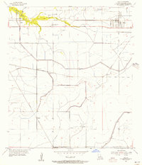
(13)- 1932 Map of Lake Charles NE
 1932 Lake Charles NE1932 Print · USGSCalcasieu Parish at the start of the 1930s shows an intricate landscape of prairie agriculture and vital rail connections. Genealogists and historians can trace old homesteads and community hubs like Chloe, Bon Air, and the Holmwood Sch.
 - 1942 Map of Lake Charles
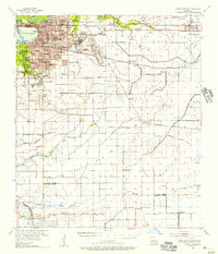
 1942 Lake Charles1942 Print · USGSLake Charles and the surrounding coastal prairies are captured here in the early 1940s, just as modern aviation and industrial shipping were reshaping the parish. Genealogists can locate family landmarks like Higgins School, Sweet Lake Church, and the neighborhood of Goosport.
 - 1952 Map of Lake Charles
 1952 Lake Charles1952 Print · USGSSouthwest Louisiana is captured here in the mid-fifties, showing a landscape defined by the rise of the petrochemical industry and deep-water navigation. Researchers can trace family roots through numerous small-town settlements and oil developments like Nibletts Bluff, the Lockport Oil Field, and Starks.
 - 1954 Map of Lake Charles, 1964 Print
 1954 Lake Charles1964 Print · USGSSouthwest Louisiana in the mid-fifties is defined by its massive petroleum industry and its complex network of bayous and rail lines. Researchers can trace the development of the Sulphur Mines Oil Field or locate historic settlements like Longville and De Quincy.3 unique versions available
 - 1955 Map of Iowa, 1956 Print
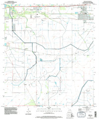
 1955 Iowa1956 Print · USGSCalcasieu Parish in the mid-fifties is defined by its intersection of heavy rail and emerging energy fields. Genealogists and historians can trace rail-side settlements like Iowa and Chalkley alongside the sprawling Iowa Oil and Gas Field.3 unique versions available
 - 1955 Map of Lake Charles, 1956 Print
 1955 Lake Charles1956 Print · USGSMid-century Lake Charles is shown as a thriving railroad and educational hub before its late-twentieth-century industrial shifts. Researchers can trace family roots through neighborhood schools like Henry Heights Sch or locate ancestors at LeBleu Cem and Highland Cem.3 unique versions available
 - 1986 Map of Lake Charles
 1986 Lake Charles1986 Print · USGSThe Louisiana-Texas borderlands are captured here in the mid-1980s, showcasing the industrial growth of the Lake Charles region and its rail-linked satellite towns. Trace the evolution of coastal settlements and family landmarks from Sulphur to the Highland Cem.2 unique versions available
 - 1994 Map of Iowa, 1996 Print
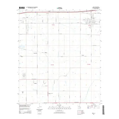
 1994 Iowa1996 Print · USGSCalcasieu Parish's industrial and agricultural character is on full display in the mid-1990s. Researchers can trace oil and gas history at Iowa Oil and Gas Field and explore old settlements like Chalkley and Holmwood.
 - 2012 Map of Iowa, 2012 Print
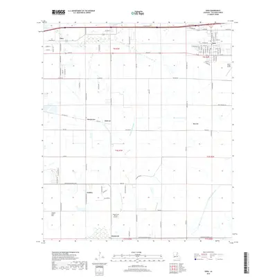
 2012 Iowa2012 Print · USGSCovers Harbor, including Iowa, Chalkley, and other nearby areas
 - 2015 Map of Iowa, 2015 Print
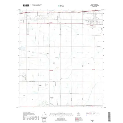
 2015 Iowa2015 Print · USGSCovers Harbor, including Iowa, Chalkley, and other nearby areas
 - 2018 Map of Iowa, 2018 Print
 2018 Iowa2018 Print · USGSCovers Harbor, including Iowa, Chalkley, and other nearby areas
 - 2020 Map of Iowa, 2020 Print
 2020 Iowa2020 Print · USGSCovers Harbor, including Iowa, Chalkley, and other nearby areas
 - 2024 Map of Iowa, 2024 Print
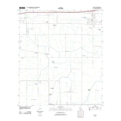
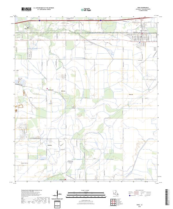 2024 Iowa2024 Print · USGSCoastal prairie life and agricultural aviation define this Calcasieu Parish region in the early twenty-first century. Researchers can trace family roots at Saint Mary Cem or explore the rural layout of Iowa, Bellevue, and the O'Brien Flying Service airfield.
End of results
Showing maps 1-13 of 13
Top cities near Harbor
- Lake Charles historical maps
- Sulphur historical maps
- Westlake historical maps
- Iowa historical maps
- Hayes historical maps
- Fenton historical maps
Frequently asked questions
- What are the different types of historical maps available for Harbor?
- What is the oldest map of Harbor?
- Where can I purchase historical maps of Harbor for my home or office?
- Where can I download high-res historical maps of Harbor?
- Are there historical topographic maps available for Harbor?
- Is there historical aerial imagery available for Harbor?
- Where are historical maps of Harbor sourced from?