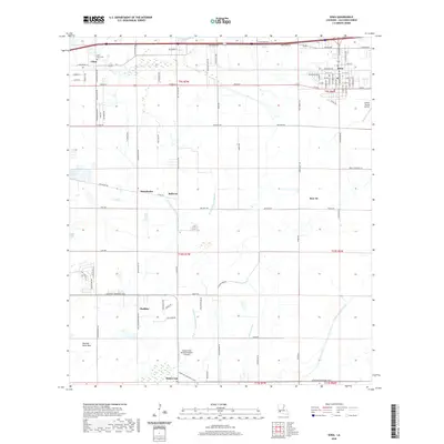
2020 Map of Iowa
USGS Topo · Published 2020About this map
Iowa serves as a primary hub in this Calcasieu Parish landscape, where the grid of agricultural roads meets the modern transportation corridors of southern Louisiana. The area is defined by a transition from the structured street plan of the town to the expansive rural reaches of Plateau Petit Bois and the drainage network of the W Fork English Bayou. Small rural settlements like Chloe, Manchester, and Bellevue dot the prairie, often centered around family-named roads such as Ardoin Rd and Dick Hebert Rd. Aviation history and local industry are marked by the O'Brien Flying Service and the Morgan Crop Service Number 2 Airport, illustrating the ongoing importance of crop dusting in this rice and crawfish country. Genealogists may find particular interest in the Saint Mary Cem located near the northwest corner, while the presence of the Indian Bayou Canal and Government Ditch highlights the intensive water management required by the local terrain.
Find a feature on this map
96 named features on this map. Tap any name to fly to it.
Don’t see what you’re looking for? This feature index may not catch every label — zoom into the map to look around manually.
Map Details
Editions of this 2020 Iowa Map
This is the sole edition of this map. No revisions or reprints were ever made.
Other maps of this area

1932 · Lake Charles NE
USGS Topo · 1:31,680

1932 · Lake Charles NW
USGS Topo · 1:31,680

1932 · Lake Charles SW
USGS Topo · 1:31,680

1932 · Lake Charles SE
USGS Topo · 1:31,680

1935 · Moss Bluff
USGS Topo · 1:31,680

1942 · Lake Charles
USGS Topo · 1:62,500

1946 · Lacassine
USGS Topo · 1:31,680

1946 · Hayes
USGS Topo · 1:31,680

1947 · Fenton
USGS Topo · 1:31,680

1947 · Moss Bluff
USGS Topo · 1:31,680