Old Maps of Moss Lake, Louisiana for Academic Research
Study the evolution of Moss Lake with 13 high-resolution historic maps. Whether you're teaching, researching, or modeling changes in land use, these maps provide essential visual documentation of urban, environmental, and geographic change.
- Analyze long-term change: Track patterns in development, transportation, and natural features.
- Ideal for environmental or urban studies: Support academic projects with primary historical map data.
- Use in the classroom or lab: Educators and researchers rely on these maps to bring historical context to life.
These maps are a powerful tool for teaching, research, and visualizing how Moss Lake has changed over the decades.
Moss Lake, LA maps
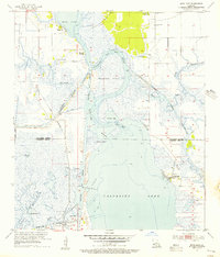
(13)- 1932 Map of Moss Lake
 1932 Moss Lake1932 Print · USGSCoastal Calcasieu Parish comes to life in the early 1930s as the Intracoastal Waterway begins to reshape the landscape. Researchers can trace family roots at Hackberry or locate the historic Dutch Cove Cemetery and Ellender Ferry crossings.
 - 1946 Map of Moss Lake
 1946 Moss Lake1946 Print · USGSThe coastal marshlands of southwest Louisiana come alive in the 1940s, showing a world of bayous and boat landings. Trace the early routes around Hackberry or locate historic sites like Ellender Ferry and Dutch Cove Cemetery along the river.
 - 1952 Map of Lake Charles
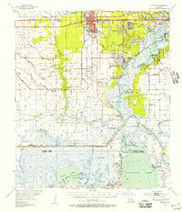
 1952 Lake Charles1952 Print · USGSSouthwest Louisiana is captured here in the mid-fifties, showing a landscape defined by the rise of the petrochemical industry and deep-water navigation. Researchers can trace family roots through numerous small-town settlements and oil developments like Nibletts Bluff, the Lockport Oil Field, and Starks.
 - 1954 Map of Lake Charles, 1964 Print
 1954 Lake Charles1964 Print · USGSSouthwest Louisiana in the mid-fifties is defined by its massive petroleum industry and its complex network of bayous and rail lines. Researchers can trace the development of the Sulphur Mines Oil Field or locate historic settlements like Longville and De Quincy.3 unique versions available
 - 1955 Map of Moss Lake, 1956 Print
 1955 Moss Lake1956 Print · USGSThe coastal marshlands of Calcasieu and Cameron Parish are shown here during the mid-fifties industrial boom. Researchers can trace historic water crossings and family sites like Ellender Ferry, Dutch Cove Cem, and the old settlement at Hackberry.3 unique versions available
 - 1955 Map of Sulphur, 1956 Print
 1955 Sulphur1956 Print · USGSCalcasieu Parish in the mid-fifties is a landscape of rapid industrial growth centered on the sulfur and oil fields. Researchers can trace the roots of local communities through the Mimosa-Pines Cem, the Salem Sch, and the Black Bayou Ferry crossing.3 unique versions available
 - 1986 Map of Lake Charles
 1986 Lake Charles1986 Print · USGSThe Louisiana-Texas borderlands are captured here in the mid-1980s, showcasing the industrial growth of the Lake Charles region and its rail-linked satellite towns. Trace the evolution of coastal settlements and family landmarks from Sulphur to the Highland Cem.2 unique versions available
 - 1994 Map of Moss Lake, 1996 Print
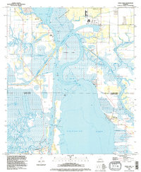 1994 Moss Lake1996 Print · USGSCoastal Louisiana's industrial waterways dominate the landscape in the mid-1990s as the ship channels cut through the marshes. Researchers can trace family history at Dutch Cove Cem or explore the energy infrastructure of the Big Lake Oil Field.
 - 2012 Map of Moss Lake, 2012 Print
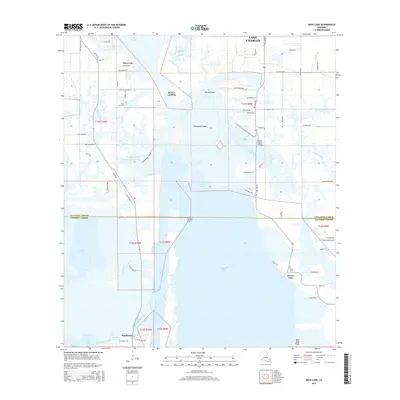
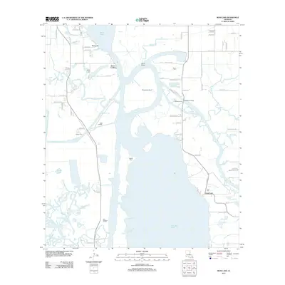 2012 Moss Lake2012 Print · USGSCovers Moss Lake, including Lake Charles, Grand Lake, and other nearby areas
 - 2015 Map of Moss Lake, 2015 Print
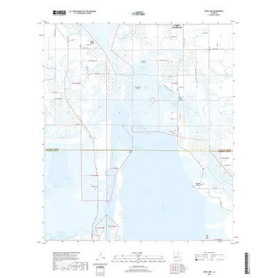
 2015 Moss Lake2015 Print · USGSCovers Moss Lake, including Lake Charles, Grand Lake, and other nearby areas
 - 2018 Map of Moss Lake, 2018 Print
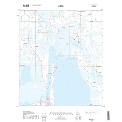
 2018 Moss Lake2018 Print · USGSCovers Moss Lake, including Lake Charles, Grand Lake, and other nearby areas
 - 2020 Map of Moss Lake, 2020 Print
 2020 Moss Lake2020 Print · USGSCovers Moss Lake, including Lake Charles, Grand Lake, and other nearby areas
 - 2024 Map of Moss Lake, 2024 Print
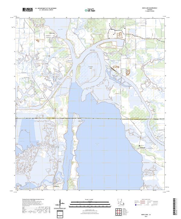 2024 Moss Lake2024 Print · USGSCalcasieu and Cameron Parishes are shown at the edge of the Gulf coast, where industrial waterways meet the natural marsh. Local historians can trace the sites of Hackberry, Grand Lake, and local family landmarks like Pujol Cem or Dutch Cove Cem.
End of results
Showing maps 1-13 of 13
Top cities near Moss Lake
Frequently asked questions
- What are the different types of historical maps available for Moss Lake?
- What is the oldest map of Moss Lake?
- Where can I purchase historical maps of Moss Lake for my home or office?
- Where can I download high-res historical maps of Moss Lake?
- Are there historical topographic maps available for Moss Lake?
- Is there historical aerial imagery available for Moss Lake?
- Where are historical maps of Moss Lake sourced from?