Old Maps of Hackberry, Louisiana for Hiking & Exploration
Hike through history with 52 historic maps of Hackberry. Explore old trails, ghost towns, and forgotten backroads — perfect for outdoor adventurers and local explorers.
- Rediscover forgotten places: Map out old mining camps, roads, and footpaths that no longer exist on modern maps.
- Layer with modern tools: Combine with LiDAR or satellite views to plan hikes through historical terrain.
- Made for exploration: Popular among hikers, overlanders, and local history lovers.
Use these maps to find adventure and explore the hidden past of Hackberry.
Hackberry, LA maps
(52)- 1932 Map of Moss Lake
 1932 Moss Lake1932 Print · USGSCoastal Calcasieu Parish comes to life in the early 1930s as the Intracoastal Waterway begins to reshape the landscape. Researchers can trace family roots at Hackberry or locate the historic Dutch Cove Cemetery and Ellender Ferry crossings.
 - 1934 Map of Browns Lake, 1960 Print
 1934 Browns Lake1960 Print · USGSCoastal Cameron Parish at the height of the 1930s reveals a world of salt marshes and vital waterways. Genealogists and local historians can trace the early layout of Hackberry Sch and the natural elevations of Back Ridge near Browns Lake.
 - 1934 Map of Five Lakes, 1961 Print
 1934 Five Lakes1961 Print · USGSCoastal Cameron Parish in the mid-1930s reveals a water-bound world of marsh camps and early drainage canals. Trace the locations of Stacks Hill Camp and the Orange-Cameron Co Club House amidst the winding Old North Bayou and Five Lakes.2 unique versions available
 - 1935 Map of Five Lakes
 1935 Five Lakes1935 Print · USGSCoastal Louisiana in the mid-1930s reveals a landscape of isolated marsh camps and intricate waterways. Researchers can trace the early footprints of coastal life at Stacks Hill Camp and the Orange-Cameron Co Club House along North Bayou.
 - 1935 Map of Hackberry
 1935 Hackberry1935 Print · USGSCameron Parish's coastal marshes and the sprawling waters of Calcasieu Lake are captured here during the mid-1930s. Genealogists and local historians can trace family land tracts and early settlements like Hackberry PO, Rhodes, and West Cove Camp.2 unique versions available
 - 1935 Map of Browns Lake
 1935 Browns Lake1935 Print · USGSCameron Parish's coastal wetlands are frozen in time just before the mid-century, showing a landscape of expansive marshes and vital waterways. Researchers can trace the early path of State Highway No 104 and locate local landmarks like the Hackberry Sch and Browns Lake.2 unique versions available
 - 1946 Map of Moss Lake
 1946 Moss Lake1946 Print · USGSThe coastal marshlands of southwest Louisiana come alive in the 1940s, showing a world of bayous and boat landings. Trace the early routes around Hackberry or locate historic sites like Ellender Ferry and Dutch Cove Cemetery along the river.
 - 1949 Map of Black Lake
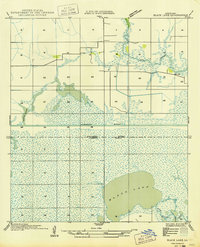 1949 Black Lake1949 Print · USGSCoastal wetlands and parish boundaries meet in the late 1940s as the Intracoastal Waterway transforms the marsh. Trace the natural shorelines of Black Lake and follow the winding path of Bayou Choupique across the prairie.
 - 1952 Map of Lake Charles
 1952 Lake Charles1952 Print · USGSSouthwest Louisiana is captured here in the mid-fifties, showing a landscape defined by the rise of the petrochemical industry and deep-water navigation. Researchers can trace family roots through numerous small-town settlements and oil developments like Nibletts Bluff, the Lockport Oil Field, and Starks.
 - 1954 Map of Port Arthur
 1954 Port Arthur1954 Print · USGSThe Texas and Louisiana coastlines meet here in the mid-fifties, showing the industrial rise of Port Arthur alongside vast wildlife preserves. Researchers can trace remote coastal settlements and infrastructure like Pecan Island, the Sabine Pass Lighthouse, and the North Island School.
 - 1954 Map of Lake Charles, 1964 Print
 1954 Lake Charles1964 Print · USGSSouthwest Louisiana in the mid-fifties is defined by its massive petroleum industry and its complex network of bayous and rail lines. Researchers can trace the development of the Sulphur Mines Oil Field or locate historic settlements like Longville and De Quincy.3 unique versions available
 - 1955 Map of Black Lake
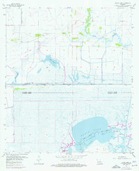 1955 Black Lake1955 Print · USGSThe marshy transition between Calcasieu and Cameron Parishes is captured here in the mid-fifties, during a peak period of coastal energy expansion. Researchers can trace the industrial footprint of the West Hackberry Oil and Gas Field or locate family sites at Moss Cem and Landry Cem.4 unique versions available
 - 1955 Map of Cameron, 1956 Print
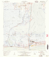 1955 Cameron1956 Print · USGSCoastal Louisiana in the mid-fifties reveals a landscape of sprawling wetlands and maritime industry centered around Calcasieu Lake. Researchers can trace old family sites like Kelly-Reser Cem or explore the early infrastructure of Cameron and Hackberry.3 unique versions available
 - 1955 Map of Moss Lake, 1956 Print
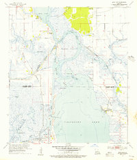 1955 Moss Lake1956 Print · USGSThe coastal marshlands of Calcasieu and Cameron Parish are shown here during the mid-fifties industrial boom. Researchers can trace historic water crossings and family sites like Ellender Ferry, Dutch Cove Cem, and the old settlement at Hackberry.3 unique versions available
 - 1955 Map of Sulphur, 1956 Print
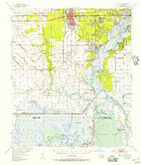 1955 Sulphur1956 Print · USGSCalcasieu Parish in the mid-fifties is a landscape of rapid industrial growth centered on the sulfur and oil fields. Researchers can trace the roots of local communities through the Mimosa-Pines Cem, the Salem Sch, and the Black Bayou Ferry crossing.3 unique versions available
 - 1955 Map of Johnsons Bayou, 1956 Print
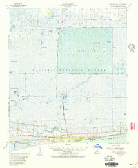 1955 Johnsons Bayou1956 Print · USGSCoastal Cameron Parish in the mid-fifties reveals a landscape of Chenier ridges and marshland industry between the wildlife refuge and the Gulf. Researchers can locate family sites like Smith Ridge Cem and follow the early footprints of the Burton Oil Field.3 unique versions available
 - 1956 Map of Port Arthur, 1965 Print
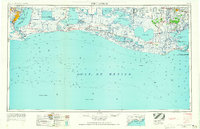 1956 Port Arthur1965 Print · USGSThe Texas and Louisiana coastlines meet here in the mid-fifties, showing a landscape of sprawling marshes and growing refinery towns. Genealogists and historians can trace ridge settlements like Grand Cheniere or find the Sabine Pass Lighthouse and Pecan Island.3 unique versions available
 - 1958 Map of Port Arthur
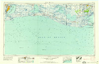 1958 Port Arthur1958 Print · USGSThe Texas and Louisiana coastlines meet in the late fifties at the busy industrial port of Port Arthur. Historians and genealogists can trace the early rail networks of the Southern Pacific and locate coastal settlements like Cameron, Pecan Island, and Abbeville.
 - 1959 Map of Port Arthur
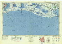 1959 Port Arthur1959 Print · USGSThe Texas and Louisiana coastlines meet in this late-fifties study of a landscape defined by industry and wildlife preserves. Trace the Intracoastal Waterway past Pecan Island and Abbeville, or locate the shipping channels at Sabine Pass.
 - 1973 Map of Port Arthur, 1974 Print
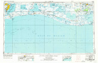 1973 Port Arthur1974 Print · USGSThe Texas-Louisiana borderlands in the early seventies reveal an intricate landscape of coastal marshes and heavy industry. Trace the growth of Port Arthur, the extent of the oil and gas fields, and old ridge settlements like Pecan Island.
 - 1982 Map of Browns Lake
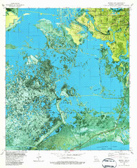 1982 Browns Lake1982 Print · USGSCoastal Louisiana in the early eighties reveals a landscape shaped by both the energy industry and conservation. You can trace the energy infrastructure of the West Hackberry Oil Field alongside local landmarks like Hackberry High Sch and the Sabine National Wildlife Refuge.2 unique versions available
 - 1982 Map of Hackberry
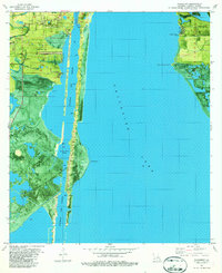 1982 Hackberry1982 Print · USGSThe town of Hackberry and the surrounding marshlands of Louisiana's coast are captured here in the early 1980s. Genealogists and researchers can locate family-named points and community landmarks like St Peters Ch, Sabine National Wildlife Refuge, and the Calcasieu Ship Channel.
 - 1982 Map of F-R Ranch
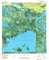 1982 F-R Ranch1982 Print · USGSCoastal Cameron Parish in the early eighties is a landscape of expansive wetlands and industrial canals. Researchers can trace the intersection of the South Black Bayou Oil Field with the Sabine National Wildlife Refuge and the F-R Ranch.
 - 1983 Map of Port Arthur
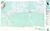 1983 Port Arthur1983 Print · USGSThe Texas and Louisiana coastline comes into sharp focus during the early 1980s, showcasing the industrial hubs of the Gulf. Trace the development of Port Arthur and Port Neches or locate specific facilities like St Gabriel Hospital and the West Hackberry Oil Field.
 - 1986 Map of Lake Charles
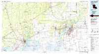 1986 Lake Charles1986 Print · USGSThe Louisiana-Texas borderlands are captured here in the mid-1980s, showcasing the industrial growth of the Lake Charles region and its rail-linked satellite towns. Trace the evolution of coastal settlements and family landmarks from Sulphur to the Highland Cem.2 unique versions available
Showing maps 1-25 of 52
Top cities near Hackberry
Frequently asked questions
- What are the different types of historical maps available for Hackberry?
- What is the oldest map of Hackberry?
- Where can I purchase historical maps of Hackberry for my home or office?
- Where can I download high-res historical maps of Hackberry?
- Are there historical topographic maps available for Hackberry?
- Is there historical aerial imagery available for Hackberry?
- Where are historical maps of Hackberry sourced from?