Old Maps of Lisbon, Louisiana for Academic Research
Study the evolution of Lisbon with 18 high-resolution historic maps. Whether you're teaching, researching, or modeling changes in land use, these maps provide essential visual documentation of urban, environmental, and geographic change.
- Analyze long-term change: Track patterns in development, transportation, and natural features.
- Ideal for environmental or urban studies: Support academic projects with primary historical map data.
- Use in the classroom or lab: Educators and researchers rely on these maps to bring historical context to life.
These maps are a powerful tool for teaching, research, and visualizing how Lisbon has changed over the decades.
Lisbon, LA maps
(18)- 1951 Map of Summerfield, 1952 Print
 1951 Summerfield1952 Print · USGSClaiborne Parish in the early fifties is a landscape of rural crossroads and growing industry. Genealogists can locate family landmarks like Aycock Cem or Sharon Sch, and trace the development of settlements from Lisbon to the Gas Refinery near the parish line.5 unique versions available
 - 1955 Map of Shreveport
 1955 Shreveport1955 Print · USGSNorthern Louisiana in the mid-fifties is captured here as a landscape of military bases, vast oil fields, and burgeoning college towns. Genealogists and historians can trace the rail-and-river economy through the Monroe Gas Field, Grambling College, and Barksdale Air Force Base.3 unique versions available
 - 1956 Map of Shreveport
 1956 Shreveport1956 Print · USGSNorthern Louisiana during the mid-fifties presents a complex landscape of booming oil fields and strategic military installations. Genealogists and historians can trace the infrastructure of the Monroe Gas Field and family-named locales from Cotton Valley to Jonesboro.
 - 1984 Map of Shreveport
 1984 Shreveport1984 Print · USGSNorthern Louisiana at the peak of the 1980s reveals a landscape of massive water management projects and Cold War military hubs. Trace the rail lines of the Kansas City Southern Ry past Barksdale Air Force Base and the high ground of Driskill Mountain.2 unique versions available
 - 1985 Map of Monroe North, 1986 Print
 1985 Monroe North1986 Print · USGSNorth-central Louisiana in the mid-eighties was a landscape defined by the growth of university towns and the expansion of the natural gas industry. Researchers can trace rural family roots through landmarks like Lisbon Cem, New Hope Ch, and the many schools in Farmerville or Bernice.2 unique versions available
 - 1986 Map of Arizona
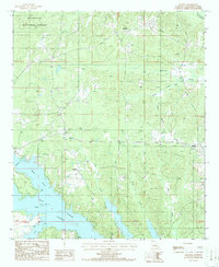 1986 Arizona1986 Print · USGSLouisiana's hill country near the Arkansas border is captured here in the mid-1980s as recreation and timber management shaped the land. Genealogists and locals can trace the areas around Arizona, Lisbon, and Antioch, or locate the Antioch Cem.
 - 1986 Map of Lisbon
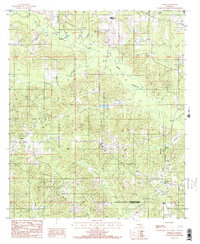 1986 Lisbon1986 Print · USGSNorth Louisiana parish life in the mid-1980s is centered around Lisbon and the winding Middle Fork Bayou D'Arbonne. Trace family history at Sharon or follow the paths of Sandy Creek and Fluemile Creek across the landscape.2 unique versions available
 - 2003 Map of Arizona, 2005 Print
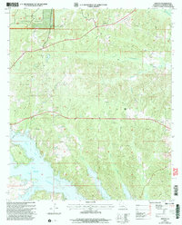 2003 Arizona2005 Print · USGSClaiborne Parish at the opening of the 21st century reveals a landscape where timber and energy production meet the waters of Lake Claiborne. Trace rural settlements like Arizona and Lisbon alongside local landmarks like Antioch Cem.
 - 2012 Map of Arizona, 2012 Print
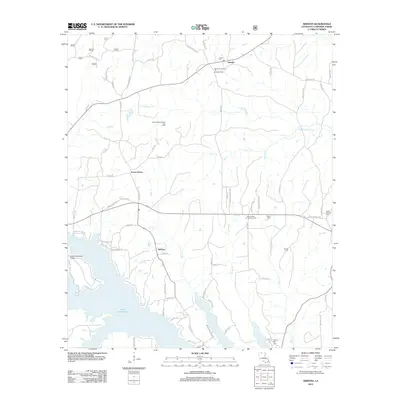 2012 Arizona2012 Print · USGSClaiborne Parish at the start of the 2010s shows a landscape of lakeside living and active energy production. Researchers can locate family landmarks like Aycock Cem and Liberty Hill Cem, or trace the rural roads connecting Forest Grove and Antioch.
 - 2012 Map of Lisbon, 2012 Print
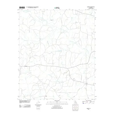 2012 Lisbon2012 Print · USGSLisbon and Sharon appear in this Louisiana survey as significant rural hubs during a period of active energy extraction. Researchers can locate the Mount Pleasant Cemetery, the Lisbon Oil Field, and the Post Office in Lisbon.
 - 2015 Map of Arizona, 2015 Print
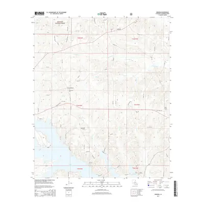 2015 Arizona2015 Print · USGSClaiborne Parish in the mid-2010s shows a landscape shaped by the waters of Lake Claiborne and the timber of the Kisatchie National Forest. Local historians can trace family locations at Antioch, Forest Grove, and cemeteries such as Aycock Cem and Rocky Springs Cem.
 - 2015 Map of Lisbon, 2015 Print
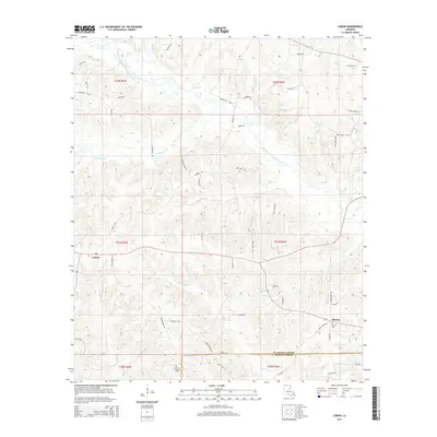 2015 Lisbon2015 Print · USGSLisbon and Sharon anchor this rural corner of Louisiana during the mid-2010s, showing a landscape shaped by creek systems and family-named roads. Genealogists can trace property locations and burial sites like Sharon Cem and Mount Pleasant Cem near the Lincoln Parish line.
 - 2018 Map of Arizona, 2018 Print
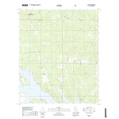 2018 Arizona2018 Print · USGSClaiborne Parish communities and the northern reaches of Lake Claiborne are documented here in recent years. Researchers can pinpoint several family burial grounds including Rocky Springs Cem and Liberty Hill Cem near the town of Lisbon.
 - 2018 Map of Lisbon, 2018 Print
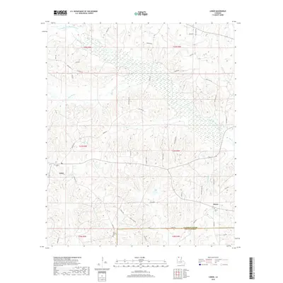 2018 Lisbon2018 Print · USGSLouisiana's northern hill country is shown here in the late twenty-teens, where the rural communities of Lisbon and Sharon sit among the bayou headwaters. Researchers can locate family landmarks like Killgore Cemetery, Mount Pleasant Cemetery, and the winding Middle Fork Bayou D'Arbonne.
 - 2020 Map of Lisbon, 2020 Print
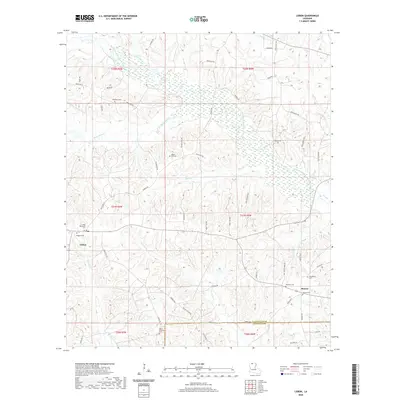 2020 Lisbon2020 Print · USGSClaiborne Parish at the start of the 2020s remains a landscape of quiet rural crossroads and significant family history. Researchers can trace the locations of numerous community landmarks, including Beech Hill Cem, Sharon Cem, and the winding Middle Fork Bayou D'Arbonne.
 - 2020 Map of Arizona, 2020 Print
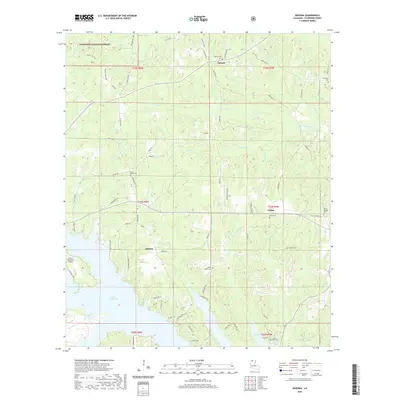 2020 Arizona2020 Print · USGSClaiborne Parish at the start of the 2020s shows a landscape defined by the expansive waters of Lake Claiborne and scattered rural settlements. Genealogists can locate numerous local burial sites including White Cem, Aycock Cem, and Willis Chapel Cem.
 - 2024 Map of Lisbon, 2024 Print
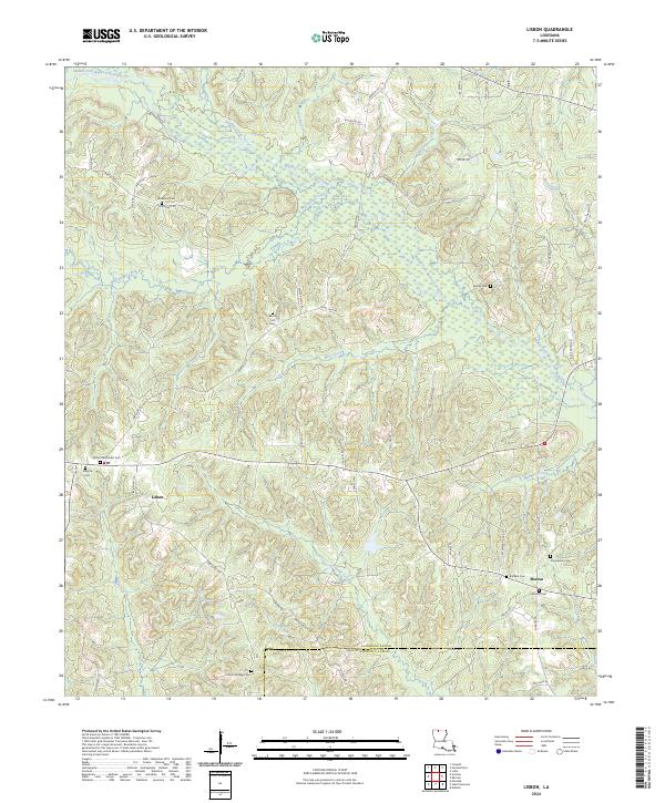 2024 Lisbon2024 Print · USGSLouisiana's northern hill country near the Claiborne and Lincoln parish line is captured here in its modern rural character. Genealogists can locate numerous family-named landmarks and burial sites including Beech Hill Cem, McAdams Cem, and the village of Lisbon.
 - 2024 Map of Arizona, 2024 Print
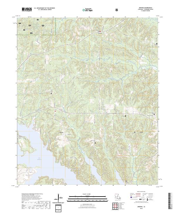 2024 Arizona2024 Print · USGSLouisiana's Claiborne Parish is captured here in the early twenty-first century, centered on the communities of Arizona and Lisbon. Researchers can locate numerous local burial sites like Antioch Cem and Willis Chapel Cem near the shores of Lake Claiborne.
End of results
Showing maps 1-18 of 18
Top cities near Lisbon
- Ruston historical maps
- Homer historical maps
- Arcadia historical maps
- Bernice historical maps
- Dubach historical maps
- Junction City historical maps
See more
Frequently asked questions
- What are the different types of historical maps available for Lisbon?
- What is the oldest map of Lisbon?
- Where can I purchase historical maps of Lisbon for my home or office?
- Where can I download high-res historical maps of Lisbon?
- Are there historical topographic maps available for Lisbon?
- Is there historical aerial imagery available for Lisbon?
- Where are historical maps of Lisbon sourced from?