2000s (21st Century) Maps of Baker, Louisiana
Explore 10 historic maps of Baker from the 2000s (21st Century). These maps offer a rare glimpse into what life looked like during the 2000s — showing old roads, neighborhoods, homes, and landmarks that have changed or disappeared over time.
Whether you're researching your family's past, planning a metal detecting trip, or studying how Baker's landscape evolved across the 2000s, these high-resolution maps are a powerful tool for exploring the history of this region.
- Focus on a specific era: All maps on this page are from the 2000s, giving you a focused view of this time period.
- See what’s changed: Compare century-old streets, trails, and buildings to today's modern landscape using overlays and satellite layers.
- Research with precision: Use these maps for genealogy, historical research, land use analysis, or educational projects.
- View, download, or print: Maps are fully viewable online in high resolution, and can be downloaded or printed for your own records.
Start exploring Baker's history through authentic maps from the 2000s. This is your window into the past.
Baker, LA maps
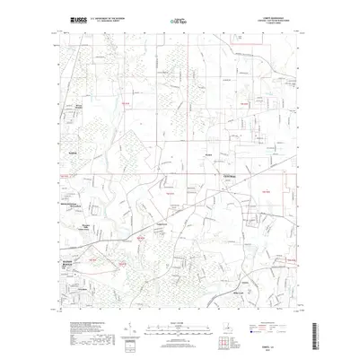
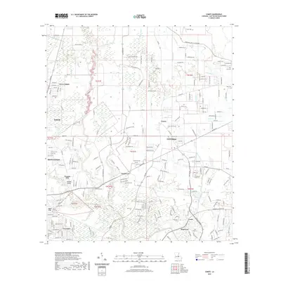
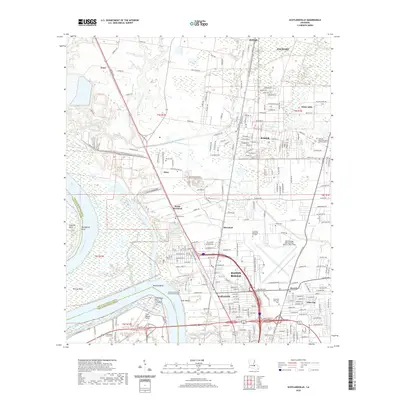
(10)- 2012 Map of Scotlandville, 2012 Print
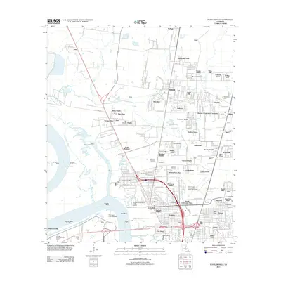 2012 Scotlandville2012 Print · USGSCovers Baker, including Baton Rouge, Zachary, and other nearby areas
 - 2012 Map of Comite, 2012 Print
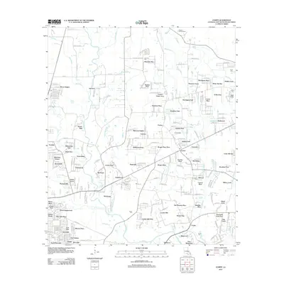 2012 Comite2012 Print · USGSCovers Baker, including Baton Rouge, Central, and other nearby areas
 - 2015 Map of Scotlandville, 2015 Print
 2015 Scotlandville2015 Print · USGSCovers Baker, including Baton Rouge, Zachary, and other nearby areas
 - 2015 Map of Comite, 2015 Print
 2015 Comite2015 Print · USGSCovers Baker, including Baton Rouge, Central, and other nearby areas
 - 2018 Map of Scotlandville, 2018 Print
 2018 Scotlandville2018 Print · USGSCovers Baker, including Baton Rouge, Zachary, and other nearby areas
 - 2018 Map of Comite, 2018 Print
 2018 Comite2018 Print · USGSCovers Baker, including Baton Rouge, Central, and other nearby areas
 - 2020 Map of Comite, 2020 Print
 2020 Comite2020 Print · USGSCovers Baker, including Baton Rouge, Central, and other nearby areas
 - 2020 Map of Scotlandville, 2020 Print
 2020 Scotlandville2020 Print · USGSCovers Baker, including Baton Rouge, Zachary, and other nearby areas
 - 2024 Map of Comite, 2024 Print
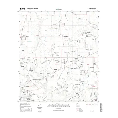
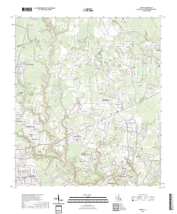 2024 Comite2024 Print · USGSEast Baton Rouge Parish in the early 2020s shows a landscape of suburban growth integrated with old family landmarks. Genealogists can locate several family burial sites including Devall Cem and Youngblood Cem near the winding Comite River.
 - 2024 Map of Scotlandville, 2024 Print
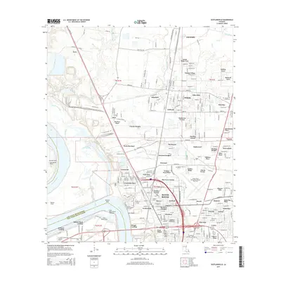
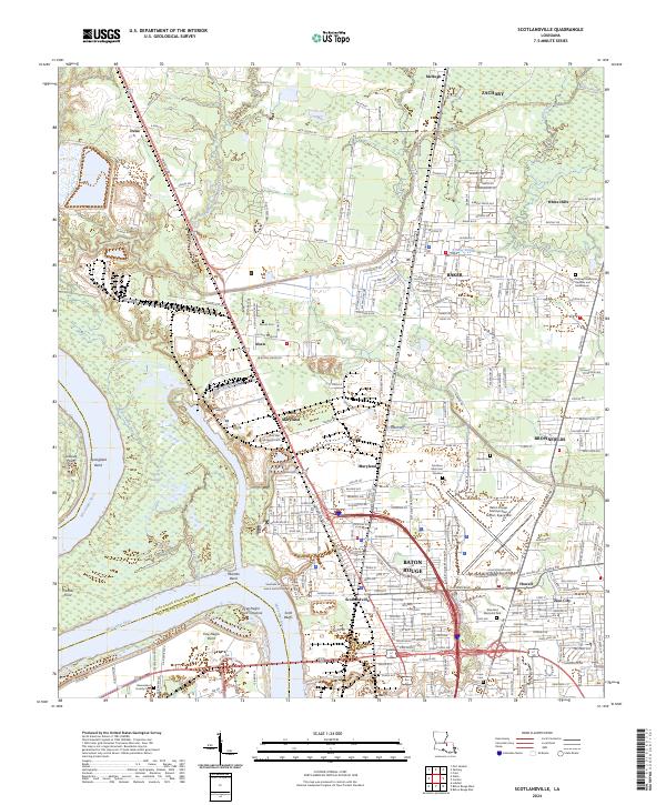 2024 Scotlandville2024 Print · USGSBaton Rouge and its northern suburbs are shown in high detail during this contemporary era of growth and industrial expansion. Genealogists and historians can locate legacy landmarks like Southern University and family-named sites such as Barnes Cem and Nick Wax Memorial Cem.
End of results
Showing maps 1-10 of 10
Top cities near Baker
- Baton Rouge historical maps
- Saint George historical maps
- St. George historical maps
- Central historical maps
- Zachary historical maps
- Denham Springs historical maps
See more
Top neighborhoods of Baker
- Parkridge historical maps
- Baker Estates historical maps
- Bethany Cooperative Community historical maps
- Buffwood historical maps
- Feliciana historical maps
- Baker Hills historical maps
See more
Frequently asked questions
- What are the different types of historical maps available for Baker?
- What is the oldest map of Baker?
- Where can I purchase historical maps of Baker for my home or office?
- Where can I download high-res historical maps of Baker?
- Are there historical topographic maps available for Baker?
- Is there historical aerial imagery available for Baker?
- Where are historical maps of Baker sourced from?