2020s Maps of East Carroll Parish, Louisiana
Explore 32 historic maps of East Carroll Parish from the 2020s. These maps offer a rare glimpse into what life looked like during the 2020s — showing old roads, neighborhoods, homes, and landmarks that have changed or disappeared over time.
Whether you're researching your family's past, planning a metal detecting trip, or studying how East Carroll Parish's landscape evolved across the 2020s, these high-resolution maps are a powerful tool for exploring the history of this region.
- Focus on a specific era: All maps on this page are from the 2020s, giving you a focused view of this time period.
- See what’s changed: Compare century-old streets, trails, and buildings to today's modern landscape using overlays and satellite layers.
- Research with precision: Use these maps for genealogy, historical research, land use analysis, or educational projects.
- View, download, or print: Maps are fully viewable online in high resolution, and can be downloaded or printed for your own records.
Start exploring East Carroll Parish's history through authentic maps from the 2020s. This is your window into the past.
East Carroll Parish, LA maps
(32)- 2020 Map of Eudora South, 2020 Print
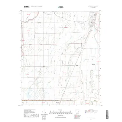 2020 Eudora South2020 Print · USGSCovers East Carroll Parish, including Eudora, Kilbourne, and other nearby areas
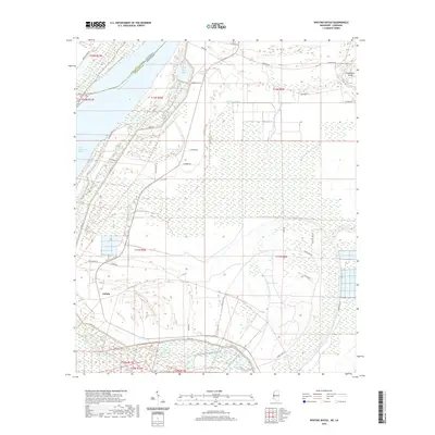
 - 2020 Map of Readland, 2020 Print
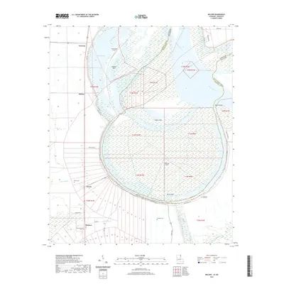
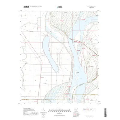 2020 Readland2020 Print · USGSCovers East Carroll Parish, including Grand Lake, Readland, and other nearby areas
 - 2020 Map of Pioneer, 2020 Print
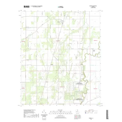 2020 Pioneer2020 Print · USGSCovers East Carroll Parish, including Pioneer, Darnell, and other nearby areas
 - 2020 Map of Panther Lake, 2020 Print
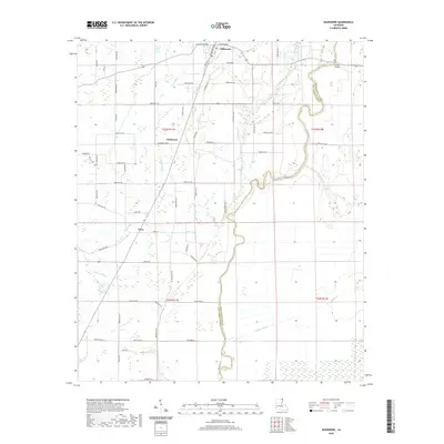
 2020 Panther Lake2020 Print · USGSCovers East Carroll Parish, including Madison Parish, United States, and other nearby areas
 - 2020 Map of Sondheimer, 2020 Print
 2020 Sondheimer2020 Print · USGSCovers East Carroll Parish, including Alsatia, Bomer, and other nearby areas
 - 2020 Map of Baxter Bayou, 2020 Print
 2020 Baxter Bayou2020 Print · USGSCovers East Carroll Parish, including Oak Grove, Bowie, and other nearby areas
 - 2020 Map of Millikin, 2020 Print
 2020 Millikin2020 Print · USGSCovers East Carroll Parish, including Panola, Millikin, and other nearby areas
 - 2020 Map of Transylvania, 2020 Print
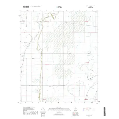
 2020 Transylvania2020 Print · USGSCovers East Carroll Parish, including Wilman, Transylvania, and other nearby areas
 - 2020 Map of Epps, 2020 Print
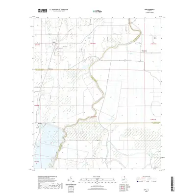 2020 Epps2020 Print · USGSCovers East Carroll Parish, including Epps, Mitchiner, and other nearby areas
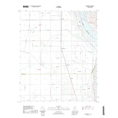
 - 2020 Map of Kilbourne, 2020 Print
 2020 Kilbourne2020 Print · USGSCovers East Carroll Parish, including Kilbourne, Terry, and other nearby areas
 - 2020 Map of Caraway Lake, 2020 Print
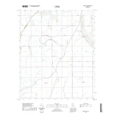 2020 Caraway Lake2020 Print · USGSCovers East Carroll Parish, including West Carroll Parish, United States, and other nearby areas
 - 2020 Map of Lake Providence, 2020 Print
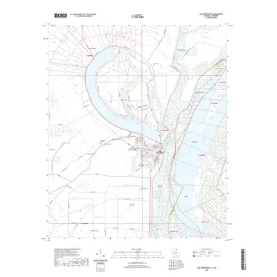 2020 Lake Providence2020 Print · USGSCovers East Carroll Parish, including Lake Providence, Greenfield, and other nearby areas
 - 2020 Map of Mayersville, 2020 Print
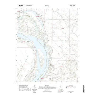 2020 Mayersville2020 Print · USGSCovers East Carroll Parish, including Mayersville, Ashland, and other nearby areas
 - 2020 Map of Eagle Bend, 2020 Print
 2020 Eagle Bend2020 Print · USGSCovers East Carroll Parish, including Brunswick, Eagle Bend, and other nearby areas
 - 2020 Map of Whiting Bayou, 2020 Print
 2020 Whiting Bayou2020 Print · USGSCovers East Carroll Parish, including Elleslie, Tallula, and other nearby areas
 - 2020 Map of Fitler, 2020 Print
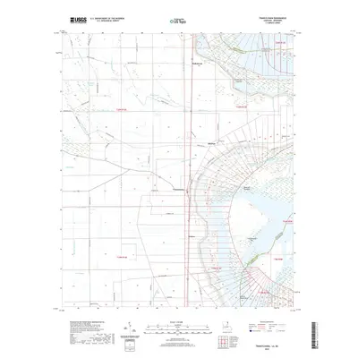
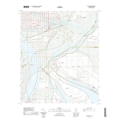
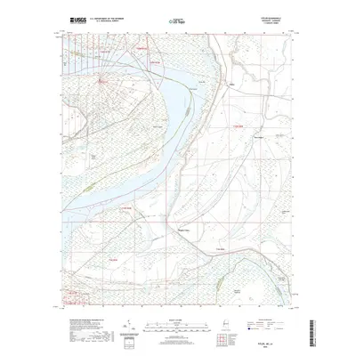 2020 Fitler2020 Print · USGSCovers East Carroll Parish, including New Fitler, Fitler, and other nearby areas
 - 2024 Map of Eudora South, 2024 Print
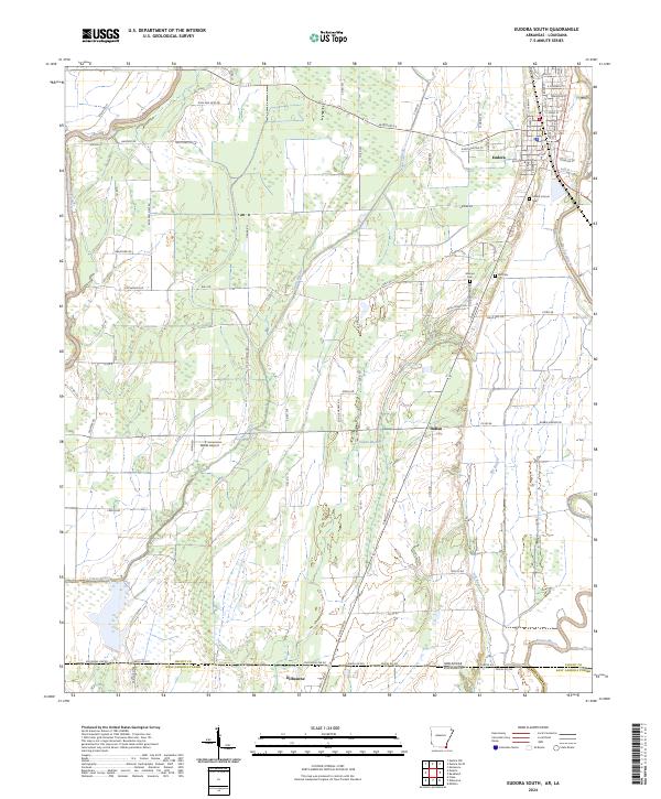 2024 Eudora South2024 Print · USGSThe Arkansas-Louisiana borderlands come into focus in this recent survey of the Chicot County region. Researchers can trace local lineage at Mount Carmel Cem or follow the winding courses of Bayou Macon and Boeuf River through the Delta landscape.
 - 2024 Map of Kilbourne, 2024 Print
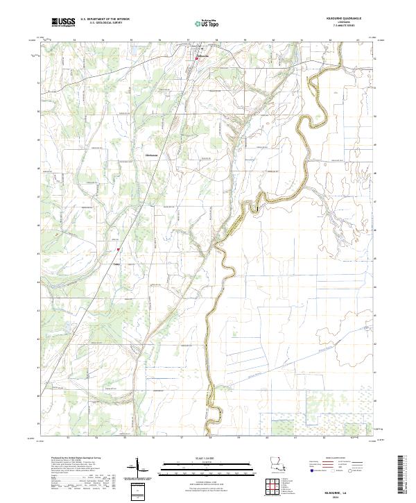 2024 Kilbourne2024 Print · USGSThis Louisiana Delta landscape in the mid-2020s shows the enduring rural character of West Carroll Parish. Genealogists and local historians can trace family locations along Bayou Macon and near the settlements of Kilbourne, Chickasaw, and Terry.
 - 2024 Map of Mayersville, 2024 Print
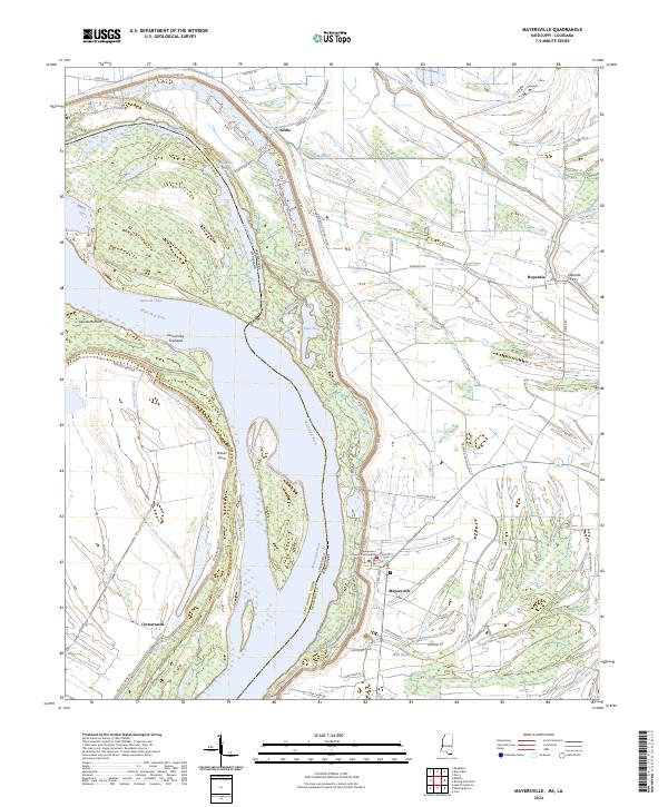 2024 Mayersville2024 Print · USGSThe Mississippi Delta riverfront comes into focus in this contemporary survey of Issaquena County. Researchers can locate the Issaquena County Courthouse in Mayersville and trace historic crossings and landings such as Lakeside Ferry and Wilson Point.
 - 2024 Map of Readland, 2024 Print
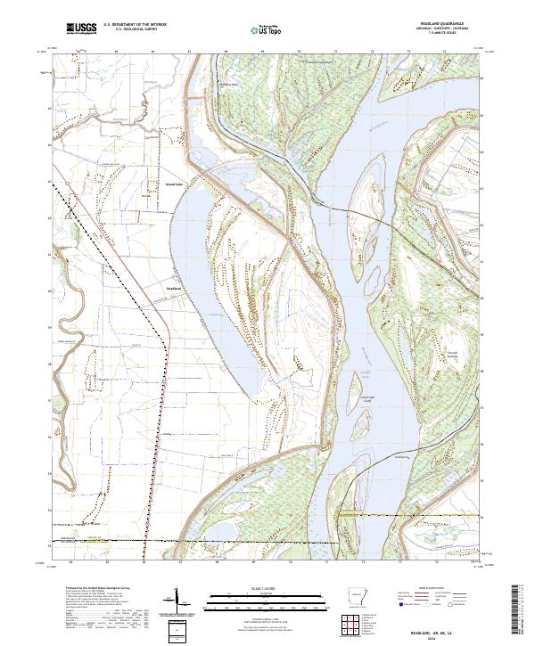 2024 Readland2024 Print · USGSThe tri-state borderlands of the Mississippi Delta are captured here in the contemporary era, where Arkansas, Louisiana, and Mississippi meet. Researchers can trace the massive oxbow of Grand Lake and identify river features like Cracraft Towhead and Carolina Bar.
 - 2024 Map of Fitler, 2024 Print
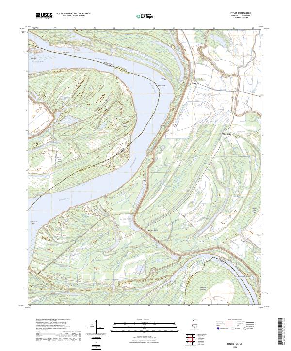 2024 Fitler2024 Print · USGSIssaquena County, Mississippi, is shown here as a landscape of river bends and delta settlements in the modern era. Genealogists and historians can trace the roads and waterways around Fitler, Magna Vista, and the notable Albemarle Crevasse.
 - 2024 Map of Eagle Bend, 2024 Print
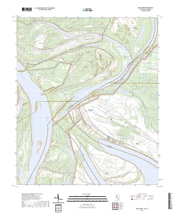 2024 Eagle Bend2024 Print · USGSThe Mississippi-Louisiana borderlands come alive in this contemporary survey of the river's winding oxbows and delta islands. Genealogists and researchers can trace the roads around Eagle Bend and locate family history at Brunswick Cem or Kiger Cem.
 - 2024 Map of Whiting Bayou, 2024 Print
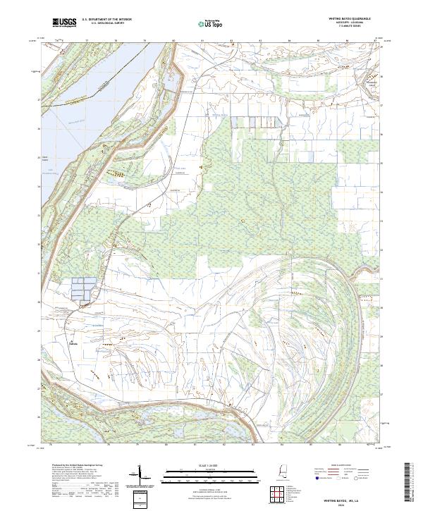 2024 Whiting Bayou2024 Print · USGSThe Mississippi River delta landscape along the Issaquena and East Carroll border is defined by its shifting oxbows and levee systems. Genealogists and researchers can trace the roads around Tallula or locate water features like Bear Lake and Carlisle Lake.
 - 2024 Map of Baxter Bayou, 2024 Print
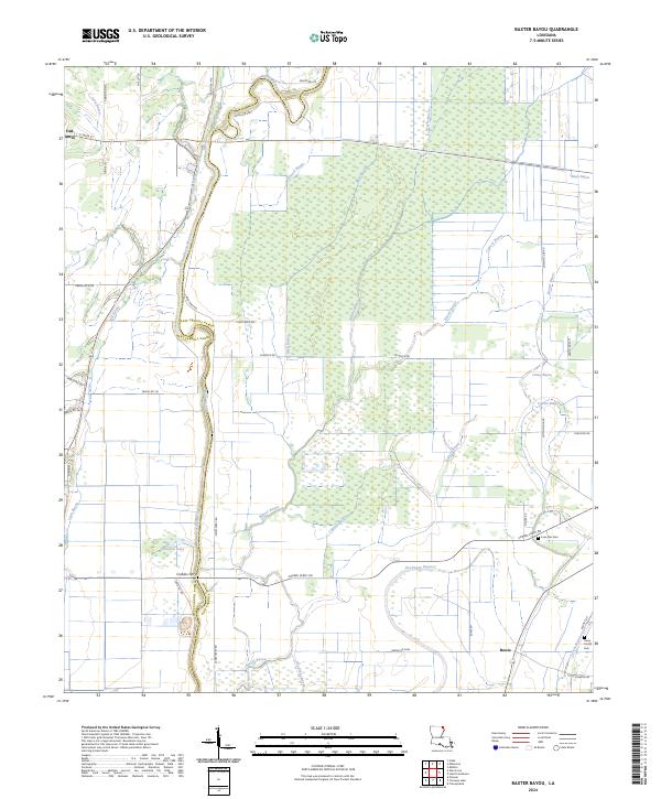 2024 Baxter Bayou2024 Print · USGSThe Louisiana delta country comes to life in this contemporary survey of the borderlands between West and East Carroll parishes. Trace local history through the Lone Star Star Cem, the settlement of Bowie, and the historic crossing at Corbins Ferry.
 - 2024 Map of Millikin, 2024 Print
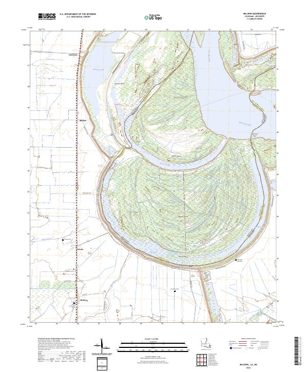 2024 Millikin2024 Print · USGSEast Carroll Parish at the Mississippi River border reveals a landscape shaped by oxbows and levee-protected settlements. Trace local family history at Old Saint Paul Cem and explore the shifting riverbanks near Bunchs Bend and Gassoway Lake.
Showing maps 1-25 of 32
Top cities of East Carroll Parish
Frequently asked questions
- What are the different types of historical maps available for East Carroll Parish?
- What is the oldest map of East Carroll Parish?
- Where can I purchase historical maps of East Carroll Parish for my home or office?
- Where can I download high-res historical maps of East Carroll Parish?
- Are there historical topographic maps available for East Carroll Parish?
- Is there historical aerial imagery available for East Carroll Parish?
- Where are historical maps of East Carroll Parish sourced from?