2010s Maps of East Carroll Parish, Louisiana
Explore 48 historic maps of East Carroll Parish from the 2010s. These maps offer a rare glimpse into what life looked like during the 2010s — showing old roads, neighborhoods, homes, and landmarks that have changed or disappeared over time.
Whether you're researching your family's past, planning a metal detecting trip, or studying how East Carroll Parish's landscape evolved across the 2010s, these high-resolution maps are a powerful tool for exploring the history of this region.
- Focus on a specific era: All maps on this page are from the 2010s, giving you a focused view of this time period.
- See what’s changed: Compare century-old streets, trails, and buildings to today's modern landscape using overlays and satellite layers.
- Research with precision: Use these maps for genealogy, historical research, land use analysis, or educational projects.
- View, download, or print: Maps are fully viewable online in high resolution, and can be downloaded or printed for your own records.
Start exploring East Carroll Parish's history through authentic maps from the 2010s. This is your window into the past.
East Carroll Parish, LA maps
(48)- 2011 Map of Eudora South, 2011 Print
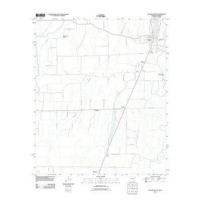 2011 Eudora South2011 Print · USGSThe borderlands of southeast Arkansas and northeast Louisiana are mapped here in detail during the early 21st century. Genealogists can locate family landmarks like Mount Carmel Cemetery and Hill Cemetery or trace the early foundations of Eudora and Kilbourne.
 - 2011 Map of Readland, 2011 Print
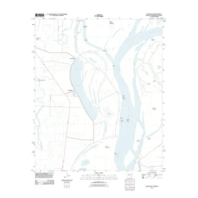 2011 Readland2011 Print · USGSThe riverfront of Chicot County is captured here in the early twenty-first century, showing the complex interaction between the Mississippi River and its floodplain. Researchers can trace the legacy of river commerce and navigation at Carriola Landing, Readland, and Coal Landing.
 - 2012 Map of Fitler, 2012 Print
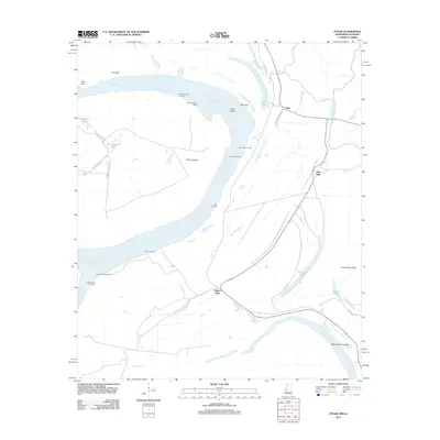 2012 Fitler2012 Print · USGSIssaquena County, Mississippi, is shown here in the early twenty-first century, where the river's edge is lined with vital landings and protective revetments. You can trace the proximity of New Fitler to the water and locate riverfront sites like Cammacks Landing and the Albemarle Crevasse.
 - 2012 Map of Eagle Bend, 2012 Print
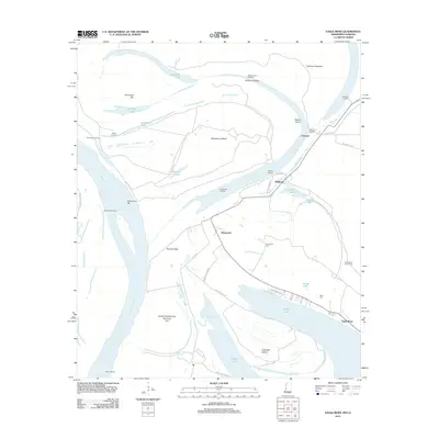 2012 Eagle Bend2012 Print · USGSThe Mississippi River's shifting meanders near the Louisiana-Mississippi border are captured in this 2012 study of the oxbow country. Researchers can trace landforms like Terrapin Neck and find family sites at Brunswick Cem or the settlement of Chotard.
 - 2012 Map of Mayersville, 2012 Print
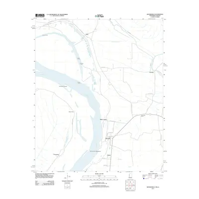 2012 Mayersville2012 Print · USGSMayersville and the Issaquena County riverfront are shown here during the early twenty-first century. Researchers can trace the river's path through Island Number Ninetythree and locate local landmarks such as Heigle Field Airport and Ashland.
 - 2012 Map of Whiting Bayou, 2012 Print
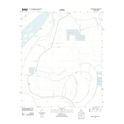 2012 Whiting Bayou2012 Print · USGSThe Mississippi Delta riverfront and the waters of Steele Bayou define this landscape in the early 21st century. Researchers can trace rural routes and river-side sites like Holly Ridge Landing, Tallula, and Baleshed Landing.
 - 2012 Map of Baxter Bayou, 2012 Print
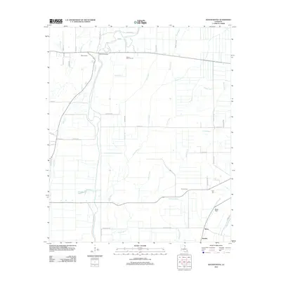 2012 Baxter Bayou2012 Print · USGSNortheast Louisiana’s alluvial plains are depicted here in the early twenty-first century, showing a landscape shaped by oil extraction and complex bayou systems. Local researchers can trace family landmarks and rural infrastructure including the Lone Star Cem, Bowie Oil Field, and Lanes Ferry Bridge.
 - 2012 Map of Lake Providence, 2012 Print
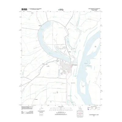 2012 Lake Providence2012 Print · USGSEast Carroll Parish's river-driven geography is on full display here in the early twenty-first century. Researchers can trace land use from the Belle Mead Planatation down to the Lake Providence Port, or locate family sites at Tyrone Cem and Gailliard Cem.
 - 2012 Map of Sondheimer, 2012 Print
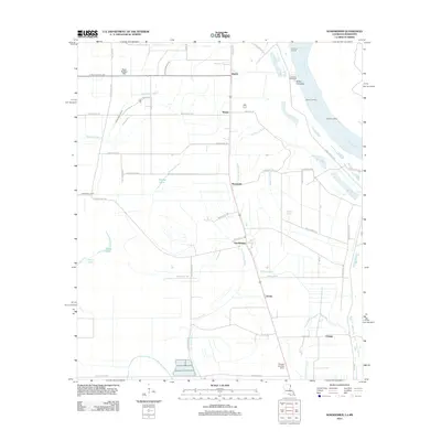 2012 Sondheimer2012 Print · USGSEast Carroll Parish's riverfront and bayou country are captured in this early 21st-century record of the Louisiana Delta. Researchers can trace the layout of small communities like Sondheimer and Alsatia or locate historical river points such as Goodrich Landing and Dogtail Landing.
 - 2012 Map of Panther Lake, 2012 Print
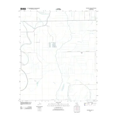 2012 Panther Lake2012 Print · USGSEast Carroll Parish in the early twenty-first century remains a world defined by its meandering waterways and rural agriculture. Genealogists and local historians can trace family-named landmarks like Jones Bayou, Panther Lake, and Graveyard Bayou.
 - 2012 Map of Kilbourne, 2012 Print
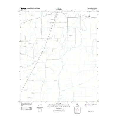 2012 Kilbourne2012 Print · USGSIn the early twenty-first century, this corner of West Carroll Parish maintains its deep agricultural and water-bound identity. Researchers can trace the layout of Kilbourne, identify local landmarks like Ashton Bridge, and follow the complex paths of Bayou Macon and Tiger Bayou.
 - 2012 Map of Pioneer, 2012 Print
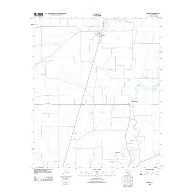 2012 Pioneer2012 Print · USGSWest Carroll Parish in the early twenty-first century reveals a landscape where ancient history meets modern agriculture. Genealogists and local historians can trace family-named sites like Wilson Cem and Darnell or locate the Poverty Point Natl Monument.
 - 2012 Map of Caraway Lake, 2012 Print
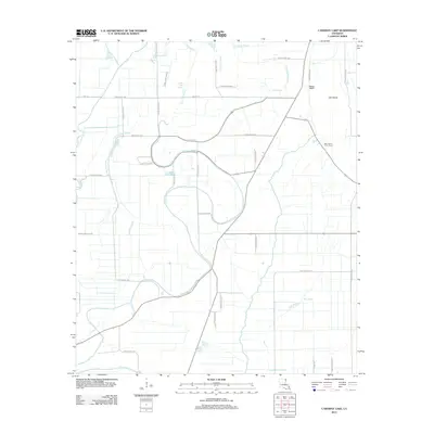 2012 Caraway Lake2012 Print · USGSEast Carroll Parish in the early twenty-first century remains a landscape of managed wetlands and agricultural drainage projects. Genealogists and local historians can trace property boundaries along Parish Road 6654 or locate the sprawling East Carroll Prison Farm near Lost Island.
 - 2012 Map of Millikin, 2012 Print
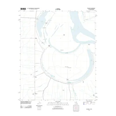 2012 Millikin2012 Print · USGSThe Mississippi River oxbows at Bunches Bend in the early twenty-first century, showing a landscape shaped by river engineering and delta agriculture. Researchers can locate local burial sites like Old Saint Paul Cem and Jerusalem Cem or trace the river's old path at Old River.
 - 2012 Map of Epps, 2012 Print
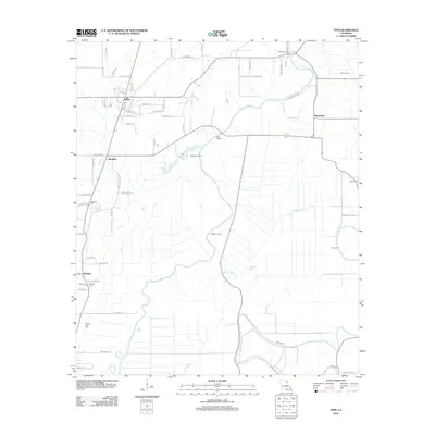 2012 Epps2012 Print · USGSWest Carroll Parish in the early 21st century reveals a landscape shaped by its waterways and long-standing rural communities. Genealogists and local historians can trace the positions of Palestine Cem, Fairview Cem, and the riverfront at Epps Landing.
 - 2012 Map of Transylvania, 2012 Print
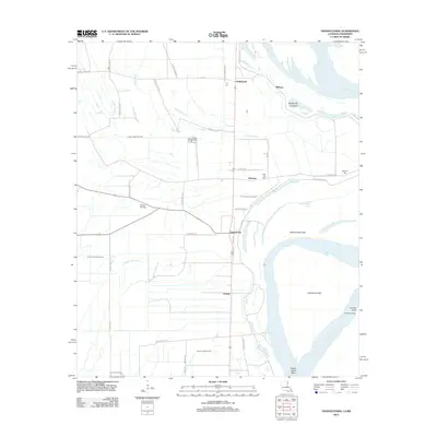 2012 Transylvania2012 Print · USGSThe Louisiana delta along the Mississippi River is captured here in the early twenty-first century, showing a landscape defined by its waterways. Researchers can trace family history through sites like Benjamin Cem or locate old river landings such as Arcadia Landing and Hollybrook.
 - 2014 Map of Eudora South, 2014 Print
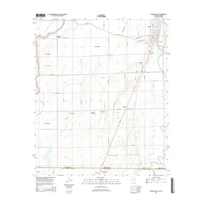 2014 Eudora South2014 Print · USGSThe Arkansas-Louisiana state line comes alive in this 2010s survey of the delta region south of Eudora. Genealogists and historians can trace the landscape around Kilbourne and Wellford, locating family landmarks like Mt Carmel Cem and Hill Cem near the winding Bayou Macon.
 - 2014 Map of Readland, 2014 Print
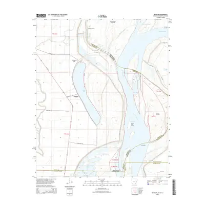 2014 Readland2014 Print · USGSThe tristate boundary where Arkansas meets Mississippi and Louisiana is captured here in the early twenty-first century. Researchers can trace river morphology and local landmarks including Readland, Grand Lake, and the sediment deposits of Carolina Bar.
 - 2015 Map of Kilbourne, 2015 Print
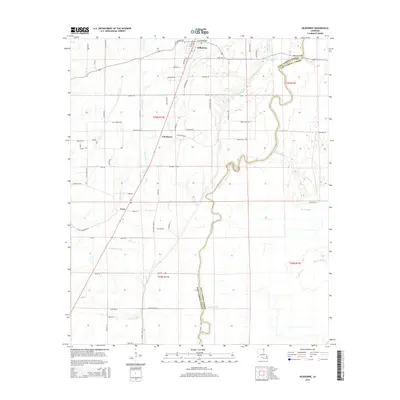 2015 Kilbourne2015 Print · USGSNortheastern Louisiana's bayou country is captured here during the mid-2010s, showing the agricultural landscape of West Carroll Parish. Researchers can trace local routes and family-named landmarks like Cemetery Ln near Kilbourne or follow the meandering Bayou Macon.
 - 2015 Map of Panther Lake, 2015 Print
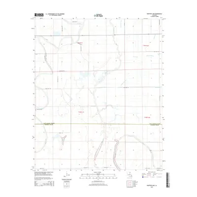 2015 Panther Lake2015 Print · USGSEast Carroll and Madison Parish come alive in this recent survey of the Louisiana Delta’s bayou-rich lowlands. Researchers can trace the winding paths of Tensas Bayou and Joes Bayou or locate the namesake Panther Lake near the parish boundary.
 - 2015 Map of Baxter Bayou, 2015 Print
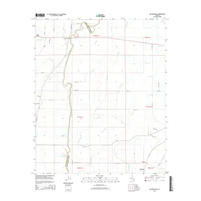 2015 Baxter Bayou2015 Print · USGSNortheast Louisiana in the early twenty-first century reveals a landscape woven together by bayous and parish lines. Genealogists and local historians can trace the rural communities of Bowie, Waddell, and Oak Grove, alongside landmarks like Lone Star Cem and Lanes Ferry Bridge.
 - 2015 Map of Epps, 2015 Print
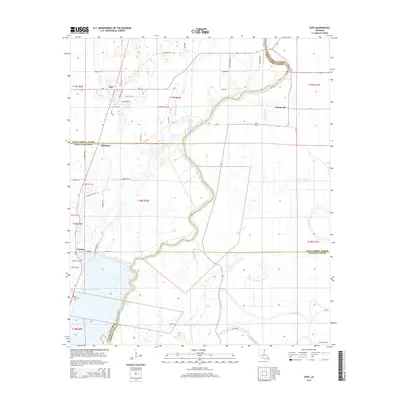 2015 Epps2015 Print · USGSLouisiana's delta country is mapped here in the modern era, showing the rural communities of Epps and Monticello. Researchers can trace old family burial sites like Fairview Cem and follow the intricate winding paths of Joes Bayou and Cypress Bayou.
 - 2015 Map of Millikin, 2015 Print
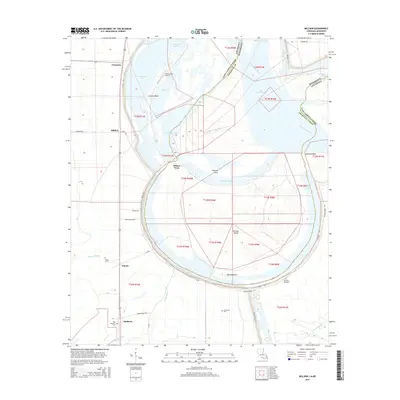 2015 Millikin2015 Print · USGSThe Louisiana-Mississippi borderlands come alive in this mid-2010s survey of the massive river bends and silty bottomlands. Genealogists and local historians can trace the positions of Old Saint Paul Cem and King Solomon Cem near the winding Bunchs Bend.
 - 2015 Map of Caraway Lake, 2015 Print
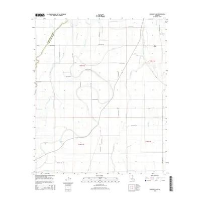 2015 Caraway Lake2015 Print · USGSEast Carroll Parish in the mid-2010s is a landscape of complex waterways and rural parish roads. Genealogists and local historians can trace the paths of Joes Bayou and Tensas Bayou past landmarks like Caraway Lake and Lost Island.
 - 2015 Map of Pioneer, 2015 Print
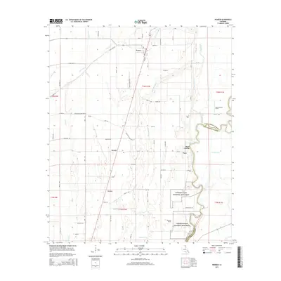 2015 Pioneer2015 Print · USGSWest Carroll Parish in the mid-2010s shows a landscape defined by ancient earthworks and bayou settlements. Trace local history through the ancient Poverty Point National Monument and rural sites like Wilson Cem or Floyd Landing.
Showing maps 1-25 of 48
Top cities of East Carroll Parish
Frequently asked questions
- What are the different types of historical maps available for East Carroll Parish?
- What is the oldest map of East Carroll Parish?
- Where can I purchase historical maps of East Carroll Parish for my home or office?
- Where can I download high-res historical maps of East Carroll Parish?
- Are there historical topographic maps available for East Carroll Parish?
- Is there historical aerial imagery available for East Carroll Parish?
- Where are historical maps of East Carroll Parish sourced from?