Old Maps of Turkey Creek, Louisiana for Genealogy
Trace your family roots with 19 historic maps of Turkey Creek. These high-res maps reveal old neighborhoods, homesites, landmarks, and streets — helping you uncover where your ancestors lived and how the area evolved over time.
- Explore historic neighborhoods: Identify where your relatives may have lived in the 1800s or 1900s.
- Compare maps over time: Trace the changes in streets, buildings, and landmarks for multi-generational research.
- Perfect for genealogy & ancestry research: Used by family historians and researchers to map out lineage and migration.
These maps are an incredible resource for exploring your personal connection to Turkey Creek's past.
Turkey Creek, LA maps
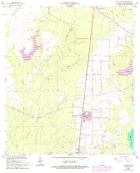
(19)- 1935 Map of Turkey Creek
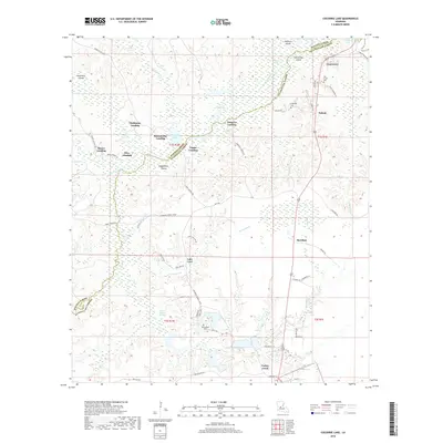
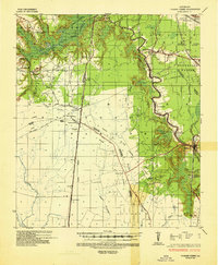 1935 Turkey Creek1935 Print · USGSLouisiana's central parish borderlands come alive in the mid-1930s, showing a landscape defined by meandering bayous and early industrial corridors. Trace the path of the Texas Louisiana and Gulf RR or find family landmarks like Johnson Ldg and Lake Cove Sch.
 - 1949 Map of Turkey Creek, 1965 Print
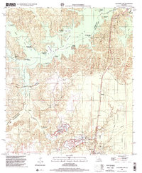
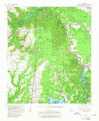 1949 Turkey Creek1965 Print · USGSEvangeline Parish during the late 1940s reveals a rural landscape of bayous and rising industry. Trace family roots at Messer Settlement or Oak Grove Cem, and locate the old rail lines of the Rock Island RR.
 - 1952 Map of Lake Charles
 1952 Lake Charles1952 Print · USGSSouthwest Louisiana is captured here in the mid-fifties, showing a landscape defined by the rise of the petrochemical industry and deep-water navigation. Researchers can trace family roots through numerous small-town settlements and oil developments like Nibletts Bluff, the Lockport Oil Field, and Starks.
 - 1954 Map of Lake Charles, 1964 Print
 1954 Lake Charles1964 Print · USGSSouthwest Louisiana in the mid-fifties is defined by its massive petroleum industry and its complex network of bayous and rail lines. Researchers can trace the development of the Sulphur Mines Oil Field or locate historic settlements like Longville and De Quincy.3 unique versions available
 - 1967 Map of Cocodrie Lake, 1968 Print
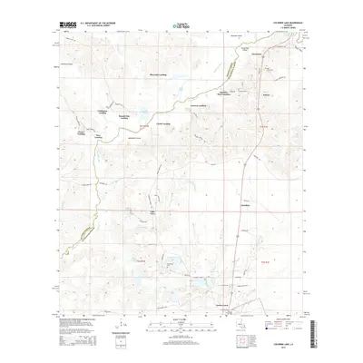
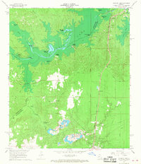 1967 Cocodrie Lake1968 Print · USGSLouisiana's central wetlands and small railroad towns are caught in detail during the late sixties. Genealogists and local historians can trace family locations near Oak Grove Cemetery, the community of Meridian, and the old Sand and Gravel Pits.2 unique versions available
 - 1967 Map of Turkey Creek, 1969 Print
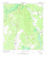 1967 Turkey Creek1969 Print · USGSEvangeline Parish and the surrounding timberlands are shown here in the late sixties, a landscape defined by rail lines and swampy brakes. Genealogists and historians can trace the Chicago Rock Island and Pacific Railroad through Pine Prairie or locate family markers at Belle Chaney Springs Cem and Griffin Cem.
 - 1967 Map of Pine Prairie, 1993 Print
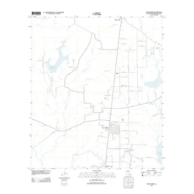
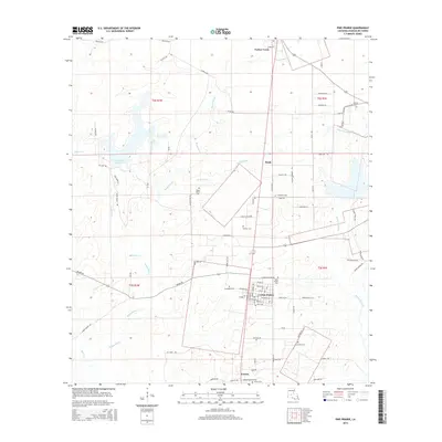
 1967 Pine Prairie1993 Print · USGSEvangeline Parish at the end of the 1960s shows a landscape of oil extraction and deep-rooted family history. Genealogists and researchers can trace local heritage through St Peters Cem, the Pine Prairie Oil Field, and the Old Railroad Grade.
 - 1986 Map of Ville Platte
 1986 Ville Platte1986 Print · USGSCentral Louisiana in the 1980s reveals a complex landscape of pine forests and bayou networks spanning seven distinct parishes. Researchers can trace historic rail lines like the Atchison Topeka and Santa Fe RR and locate settlements such as Simmons Settlement, Redland, and Elizabeth.2 unique versions available
 - 1998 Map of Cocodrie Lake, 2002 Print
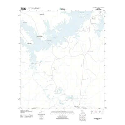
 1998 Cocodrie Lake2002 Print · USGSThe central Louisiana wetlands come into focus in the late nineties as a landscape of bayous, landings, and industrial change. Genealogists and historians can locate remote sites like Dupissey Cem, the settlement of Clearwater, and the Old Railroad Grade.
 - 2012 Map of Pine Prairie, 2012 Print
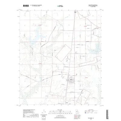
 2012 Pine Prairie2012 Print · USGSCovers Turkey Creek, including Pine Prairie, Easton, and other nearby areas
 - 2012 Map of Cocodrie Lake, 2012 Print
 2012 Cocodrie Lake2012 Print · USGSCovers Turkey Creek, including Hester Landing, Squealer Point Landing, and other nearby areas
 - 2015 Map of Cocodrie Lake, 2015 Print
 2015 Cocodrie Lake2015 Print · USGSCovers Turkey Creek, including Hester Landing, Squealer Point Landing, and other nearby areas
 - 2015 Map of Pine Prairie, 2015 Print
 2015 Pine Prairie2015 Print · USGSCovers Turkey Creek, including Pine Prairie, Easton, and other nearby areas
 - 2018 Map of Pine Prairie, 2018 Print
 2018 Pine Prairie2018 Print · USGSCovers Turkey Creek, including Pine Prairie, Easton, and other nearby areas
 - 2018 Map of Cocodrie Lake, 2018 Print
 2018 Cocodrie Lake2018 Print · USGSCovers Turkey Creek, including Hester Landing, Squealer Point Landing, and other nearby areas
 - 2020 Map of Pine Prairie, 2020 Print
 2020 Pine Prairie2020 Print · USGSCovers Turkey Creek, including Pine Prairie, Easton, and other nearby areas
 - 2020 Map of Cocodrie Lake, 2020 Print
 2020 Cocodrie Lake2020 Print · USGSCovers Turkey Creek, including Hester Landing, Squealer Point Landing, and other nearby areas
 - 2024 Map of Pine Prairie, 2024 Print
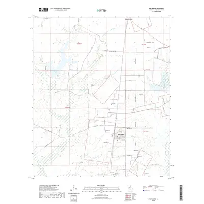
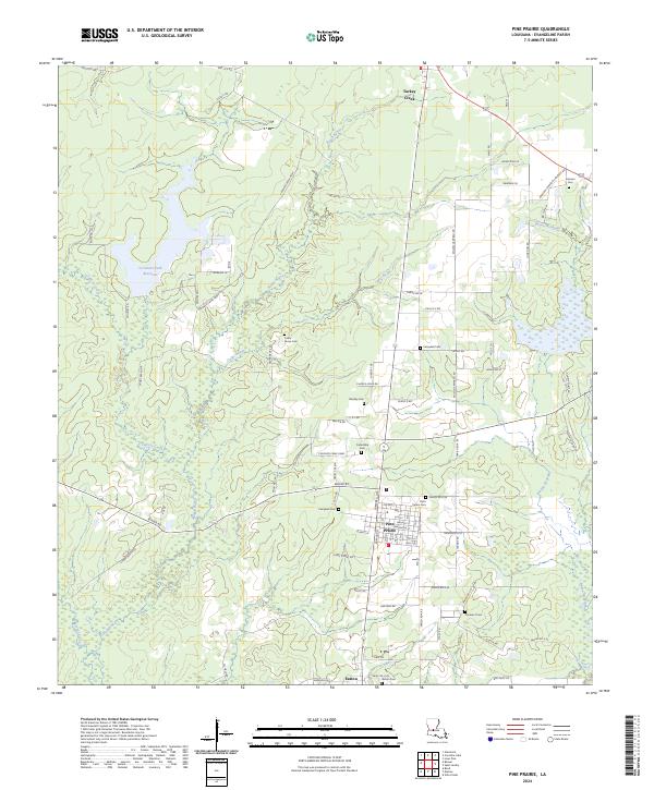 2024 Pine Prairie2024 Print · USGSThe Evangeline Parish prairie comes into focus in the 2020s, centered on the village of Pine Prairie and its rail connections. Researchers can trace local lineages through family-named sites like Fontenot Cem, Ardoin Cem, and Saint Peters Cem.
 - 2024 Map of Cocodrie Lake, 2024 Print
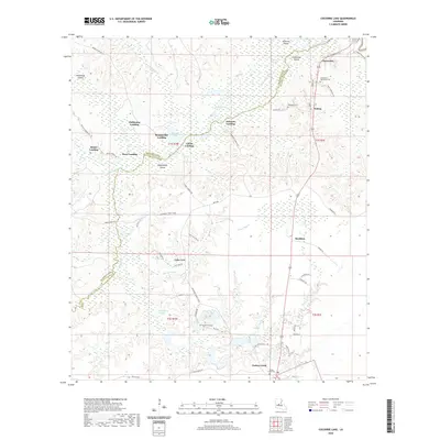
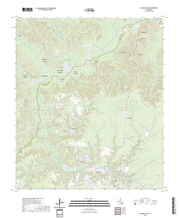 2024 Cocodrie Lake2024 Print · USGSThe wetlands of the Bayou Cocodrie basin come alive in this modern survey of the Rapides and Evangeline Parish border. Researchers can trace family history through local sites like Clearwater Oak Grove Cem or locate old water access points at Bennett Bay Landing and Johnson Landing.
End of results
Showing maps 1-19 of 19
Top cities near Turkey Creek
- Oakdale historical maps
- Ville Platte historical maps
- Bunkie historical maps
- Glenmora historical maps
- Lecompte historical maps
- Pine Prairie historical maps
See more
Frequently asked questions
- What are the different types of historical maps available for Turkey Creek?
- What is the oldest map of Turkey Creek?
- Where can I purchase historical maps of Turkey Creek for my home or office?
- Where can I download high-res historical maps of Turkey Creek?
- Are there historical topographic maps available for Turkey Creek?
- Is there historical aerial imagery available for Turkey Creek?
- Where are historical maps of Turkey Creek sourced from?