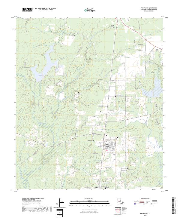
2024 Map of Pine Prairie
USGS Topo · Published 2024About this map
Pine Prairie serves as the central hub of this Evangeline Parish landscape, situated at the intersection of local routes and the BNSF Railway. The town's grid is dense with local history, marked by the presence of Saint Peters Cem and proximity to the smaller settlements of Turkey Creek to the north and Easton to the south. The surrounding terrain is defined by a complex network of waterways, including Bayou Nezpique and Cypress Creek, which drain the low-lying prairie into larger bayou systems.
Find a feature on this map
92 named features on this map. Tap any name to fly to it.
Don’t see what you’re looking for? This feature index may not catch every label — zoom into the map to look around manually.
Map Details
Editions of this 2024 Pine Prairie Map
This is the sole edition of this map. No revisions or reprints were ever made.
Other maps of this area

1935 · Beaver
USGS Topo · 1:31,680

1935 · Turkey Creek
USGS Topo · 1:62,500

1942 · Oakdale
USGS Topo · 1:62,500

1947 · Ville Platte
USGS Topo · 1:31,680

1947 · Bond
USGS Topo · 1:31,680

1949 · Glenmora
USGS Topo · 1:31,680

1949 · Turkey Creek
USGS Topo · 1:62,500

1952 · Lake Charles
USGS Topo · 1:250,000
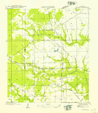
1954 · Beaver
USGS Topo · 1:31,680

1954 · Lake Charles
USGS Topo · 1:250,000