2000s (21st Century) Maps of Pollock, Louisiana
Explore 12 historic maps of Pollock from the 2000s (21st Century). These maps offer a rare glimpse into what life looked like during the 2000s — showing old roads, neighborhoods, homes, and landmarks that have changed or disappeared over time.
Whether you're researching your family's past, planning a metal detecting trip, or studying how Pollock's landscape evolved across the 2000s, these high-resolution maps are a powerful tool for exploring the history of this region.
- Focus on a specific era: All maps on this page are from the 2000s, giving you a focused view of this time period.
- See what’s changed: Compare century-old streets, trails, and buildings to today's modern landscape using overlays and satellite layers.
- Research with precision: Use these maps for genealogy, historical research, land use analysis, or educational projects.
- View, download, or print: Maps are fully viewable online in high resolution, and can be downloaded or printed for your own records.
Start exploring Pollock's history through authentic maps from the 2000s. This is your window into the past.
Pollock, LA maps
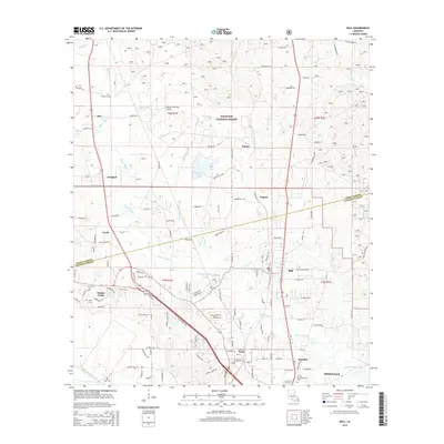
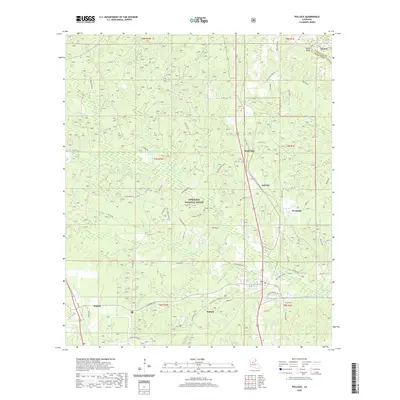
(12)- 2003 Map of Pollock, 2005 Print
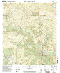 2003 Pollock2005 Print · USGSGrant Parish at the turn of the millennium shows a landscape defined by federal timberlands and small-town junctions. Researchers can trace local landmarks like the Catahoula Ranger Station, Cem, and the distinct No Ground Penetration Area.
 - 2003 Map of Ball, 2005 Print
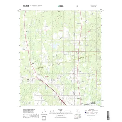
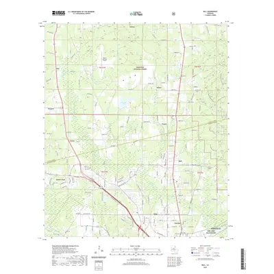
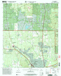 2003 Ball2005 Print · USGSLouisiana's pine-forested parish line comes to life in this early 2000s survey of the growing corridor north of Alexandria. Researchers can trace the footprints of Camp Beauregard, locate Sardis Ch, or find historical cemetery sites like Venus Cem.
 - 2012 Map of Ball, 2012 Print
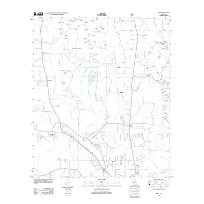 2012 Ball2012 Print · USGSCovers Pollock, including Pineville, Ball, and other nearby areas
 - 2012 Map of Pollock, 2012 Print
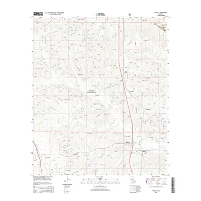
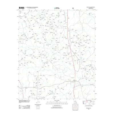 2012 Pollock2012 Print · USGSCovers Pollock, including Farmland, Sand Spur, and other nearby areas
 - 2015 Map of Ball, 2015 Print
 2015 Ball2015 Print · USGSCovers Pollock, including Pineville, Ball, and other nearby areas
 - 2015 Map of Pollock, 2015 Print
 2015 Pollock2015 Print · USGSCovers Pollock, including Farmland, Sand Spur, and other nearby areas
 - 2018 Map of Ball, 2018 Print
 2018 Ball2018 Print · USGSCovers Pollock, including Pineville, Ball, and other nearby areas
 - 2018 Map of Pollock, 2018 Print
 2018 Pollock2018 Print · USGSCovers Pollock, including Farmland, Sand Spur, and other nearby areas
 - 2020 Map of Pollock, 2020 Print
 2020 Pollock2020 Print · USGSCovers Pollock, including Farmland, Sand Spur, and other nearby areas
 - 2020 Map of Ball, 2020 Print
 2020 Ball2020 Print · USGSCovers Pollock, including Pineville, Ball, and other nearby areas
 - 2024 Map of Ball, 2024 Print
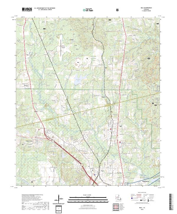 2024 Ball2024 Print · USGSThe border of Grant and Rapides Parishes comes into focus here, showing the growth of Ball and Pineville. Genealogists can trace family sites at Tioga Cem or follow the water along Flagon Bayou and Bayou Rigolette.
 - 2024 Map of Pollock, 2024 Print
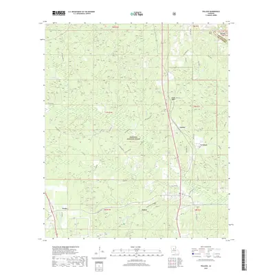
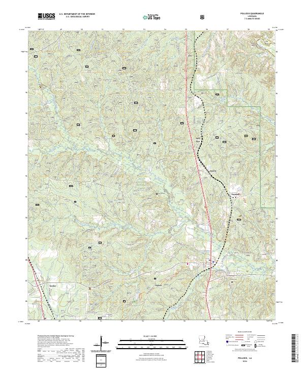 2024 Pollock2024 Print · USGSLouisiana timber country comes to life in this contemporary study of the area surrounding Pollock and the Kisatchie National Forest. Researchers can trace local lineage through the Pollock Cem and Guynes Cem or explore the drainage basins of Big Creek and Stuart Lake.
End of results
Showing maps 1-12 of 12
Top cities near Pollock
Frequently asked questions
- What are the different types of historical maps available for Pollock?
- What is the oldest map of Pollock?
- Where can I purchase historical maps of Pollock for my home or office?
- Where can I download high-res historical maps of Pollock?
- Are there historical topographic maps available for Pollock?
- Is there historical aerial imagery available for Pollock?
- Where are historical maps of Pollock sourced from?