Old Maps of Olla, Louisiana for Metal Detecting
Plan your next treasure hunt with 23 historic maps of Olla. Find old homesites, ghost towns, trails, and gathering spots that may be lost to time — perfect for identifying promising metal detecting locations.
- Locate forgotten sites: Uncover places like long-lost settlements, abandoned rail lines, or gathering spots.
- Plan better hunts: Use map overlays combined with LiDAR or satellite views to narrow in on historically rich areas.
- Made for detectorists: Thousands of hobbyists use these maps to discover relics, coins, and hidden history.
Use these historic maps to boost your research and find new opportunities beneath the surface of Olla.
Olla, LA maps
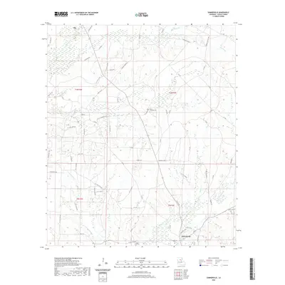
(23)- 1953 Map of Alexandria, 1963 Print
 1953 Alexandria1963 Print · USGSCentral Louisiana during the early fifties is mapped here at the intersection of the piney woods and the Red River valley. Genealogists and historians can trace the rail-and-river network connecting towns like Alexandria, Natchitoches, and the grounds of Camp Beauregard.3 unique versions available
 - 1954 Map of Tullos, 1955 Print
 1954 Tullos1955 Print · USGSLouisiana's timber and oil heartland comes to life in this mid-century survey of LaSalle and Winn Parishes. Genealogists and researchers can trace family roots through numerous rural landmarks like Zion Hill Ch, Adams Cem, and the rail settlements of Urania and Tullos.4 unique versions available
 - 1955 Map of Alexandria
 1955 Alexandria1955 Print · USGSCentral Louisiana in the mid-fifties is a landscape of river-port cities, sprawling timberlands, and massive military reservations. Genealogists and historians can trace the rail networks of the Texas & Pacific RR and locate sites like Camp Polk Military Reservation and Natchitoches.
 - 1955 Map of Olla, 1956 Print
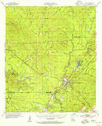
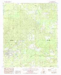
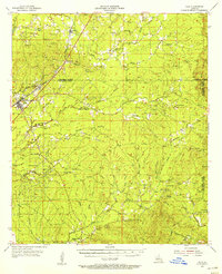 1955 Olla1956 Print · USGSThe Missouri Pacific Railroad and Bayou Funny Louis defined central Louisiana life in the mid-1950s. Genealogists and local historians can trace family roots through numerous sites like Kelly Sch, Aimwell Ch, and the Davis Cem.3 unique versions available
 - 1984 Map of Summerville, 1985 Print
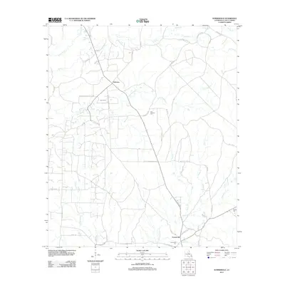
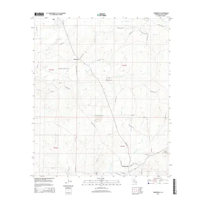
 1984 Summerville1985 Print · USGSLaSalle Parish in the early 1980s reveals a landscape defined by the timbered basin of Funny Louis Bayou and active petroleum extraction. Researchers can trace the layout of small communities like Summerville and Franklin alongside a sprawling OIL AND GAS FIELD.
 - 1984 Map of Olla West, 1985 Print
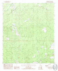
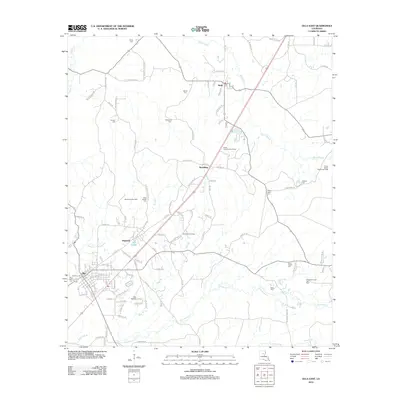
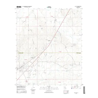
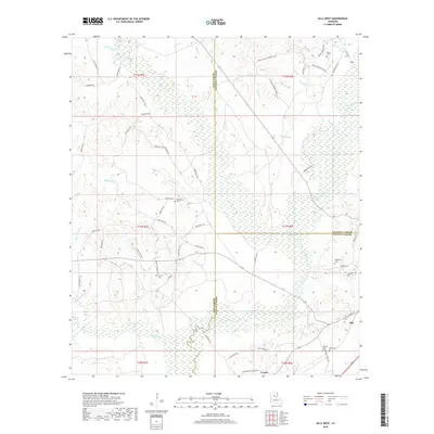
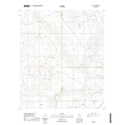
 1984 Olla West1985 Print · USGSThe rural timberlands of Winn and La Salle parishes are captured in the mid-1980s just as these backcountry landscapes were being precisely surveyed. Researchers can trace the winding paths of Castor Creek, Yellow Jacket Creek, and the upland area of Richland.
 - 1984 Map of Olla East, 1985 Print
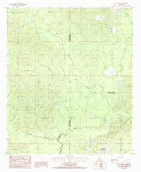
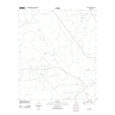
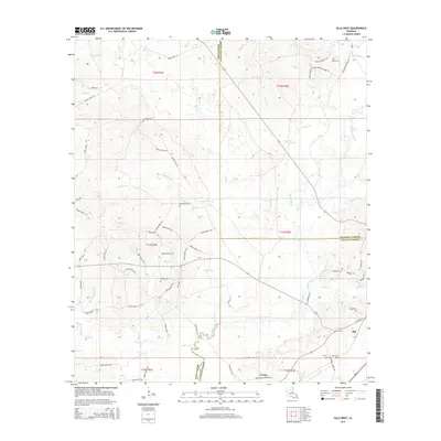
 1984 Olla East1985 Print · USGSNorth central Louisiana during the 1980s shows a landscape still defined by its rail heritage and timbered creeks. Researchers can trace the Missouri Pacific line through Standard and Kelly, or locate landmarks like the Olla Airport and Lookout Tower.
 - 1986 Map of Winnfield
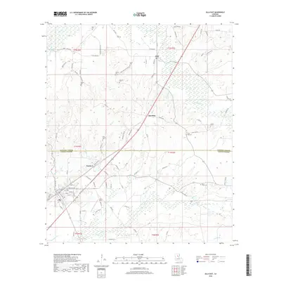
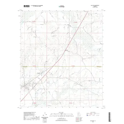
 1986 Winnfield1986 Print · USGSCentral Louisiana in the mid-1980s was a landscape of timber towns and rail junctions woven through the Kisatchie National Forest. Researchers can trace the legacy of the lumber and rail eras through settlements like Good Pine, Packton, and Zenoria.2 unique versions available
 - 2012 Map of Summerville, 2012 Print
 2012 Summerville2012 Print · USGSCovers Olla, including Chickasaw, Summerville, and other nearby areas
 - 2012 Map of Olla East, 2012 Print
 2012 Olla East2012 Print · USGSCovers Olla, including Spaulding, Kelly, and other nearby areas
 - 2012 Map of Olla West, 2012 Print
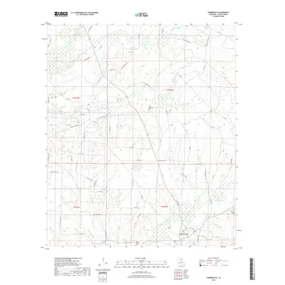
 2012 Olla West2012 Print · USGSCovers Olla, including Urania, LaSalle Parish, and other nearby areas
 - 2015 Map of Olla East, 2015 Print
 2015 Olla East2015 Print · USGSCovers Olla, including Spaulding, Kelly, and other nearby areas
 - 2015 Map of Summerville, 2015 Print
 2015 Summerville2015 Print · USGSCovers Olla, including Chickasaw, Summerville, and other nearby areas
 - 2015 Map of Olla West, 2015 Print
 2015 Olla West2015 Print · USGSCovers Olla, including Urania, LaSalle Parish, and other nearby areas
 - 2018 Map of Summerville, 2018 Print
 2018 Summerville2018 Print · USGSCovers Olla, including Chickasaw, Summerville, and other nearby areas
 - 2018 Map of Olla West, 2018 Print
 2018 Olla West2018 Print · USGSCovers Olla, including Urania, LaSalle Parish, and other nearby areas
 - 2018 Map of Olla East, 2018 Print
 2018 Olla East2018 Print · USGSCovers Olla, including Spaulding, Kelly, and other nearby areas
 - 2020 Map of Olla East, 2020 Print
 2020 Olla East2020 Print · USGSCovers Olla, including Spaulding, Kelly, and other nearby areas
 - 2020 Map of Olla West, 2020 Print
 2020 Olla West2020 Print · USGSCovers Olla, including Urania, LaSalle Parish, and other nearby areas
 - 2020 Map of Summerville, 2020 Print
 2020 Summerville2020 Print · USGSCovers Olla, including Chickasaw, Summerville, and other nearby areas
 - 2024 Map of Olla East, 2024 Print
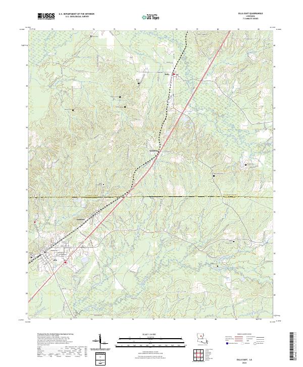 2024 Olla East2024 Print · USGSCaldwell and LaSalle Parishes come together in this contemporary survey of the Olla and Kelly corridors. Genealogists can trace family heritage across a network of rural burial grounds including Saint Joseph Cem, Good Hope Cem, and Blake Cem.
 - 2024 Map of Olla West, 2024 Print
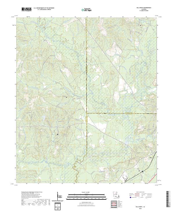 2024 Olla West2024 Print · USGSThe borderlands of Winn, Caldwell, and LaSalle parishes are shown in detail as they appeared in 2024. Genealogists can trace family heritage at Nelson and Adams cemeteries, while following old routes like Jim Tom Mays Rd through the Castor Creek basin.
 - 2024 Map of Summerville, 2024 Print
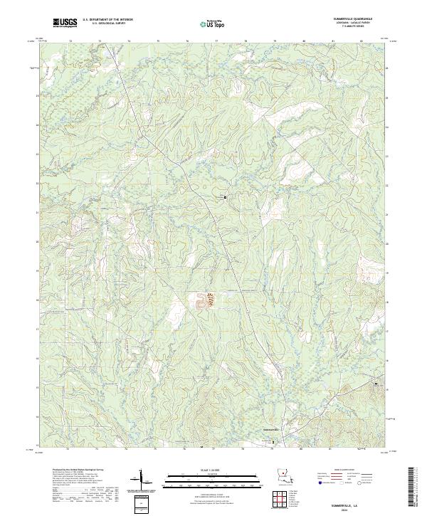 2024 Summerville2024 Print · USGSLaSalle Parish's rural landscape is shown here in the contemporary era, centered on the historic settlement of Summerville. Researchers can locate family landmarks like Squires Cem and trace the local energy industry along Oil Field Rd.
End of results
Showing maps 1-23 of 23
Top cities near Olla
- Jena historical maps
- Clarks historical maps
- Urania historical maps
- Grayson historical maps
- Columbia historical maps
- Tullos historical maps
See more
Frequently asked questions
- What are the different types of historical maps available for Olla?
- What is the oldest map of Olla?
- Where can I purchase historical maps of Olla for my home or office?
- Where can I download high-res historical maps of Olla?
- Are there historical topographic maps available for Olla?
- Is there historical aerial imagery available for Olla?
- Where are historical maps of Olla sourced from?