
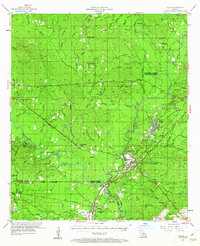
1954 Map of Tullos
USGS Topo · Published 1955About this map
The timber and oil-producing lands of Central Louisiana are captured here during a period of transition in the mid-1950s. The landscape is defined by the intersection of industrial transport and forestry, where the Missouri Pacific, Tremont and Gulf, and Louisiana and Arkansas railroads converged near the lumber towns of Urania and Tullos. This survey shows the extensive reach of the Kisatchie National Forest and the early footprint of local energy production, evidenced by scattered Oil Wells and a major Pipe Line cutting through the region.
Find a feature on this map
94 named features on this map. Tap any name to fly to it.
Don’t see what you’re looking for? This feature index may not catch every label — zoom into the map to look around manually.
Map Details
Editions of this 1954 Tullos Map
4 editions found
Other maps of this area

1932 · Colfax NE
USGS Topo · 1:31,680

1936 · Colfax
USGS Topo · 1:62,500

1936 · Pollock
USGS Topo · 1:62,500

1940 · Columbia
USGS Topo · 1:62,500

1941 · Jena
USGS Topo · 1:62,500

1941 · Pollock
USGS Topo · 1:62,500

1949 · Jonesboro
USGS Topo · 1:62,500

1950 · Jonesboro
USGS Topo · 1:62,500

1950 · Winnfield
USGS Topo · 1:62,500

1951 · Winnfield
USGS Topo · 1:62,500