2020s Maps of Livingston Parish, Louisiana
Explore 40 historic maps of Livingston Parish from the 2020s. These maps offer a rare glimpse into what life looked like during the 2020s — showing old roads, neighborhoods, homes, and landmarks that have changed or disappeared over time.
Whether you're researching your family's past, planning a metal detecting trip, or studying how Livingston Parish's landscape evolved across the 2020s, these high-resolution maps are a powerful tool for exploring the history of this region.
- Focus on a specific era: All maps on this page are from the 2020s, giving you a focused view of this time period.
- See what’s changed: Compare century-old streets, trails, and buildings to today's modern landscape using overlays and satellite layers.
- Research with precision: Use these maps for genealogy, historical research, land use analysis, or educational projects.
- View, download, or print: Maps are fully viewable online in high resolution, and can be downloaded or printed for your own records.
Start exploring Livingston Parish's history through authentic maps from the 2020s. This is your window into the past.
Livingston Parish, LA maps
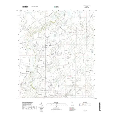
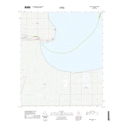
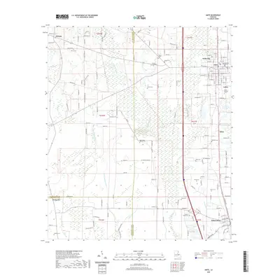
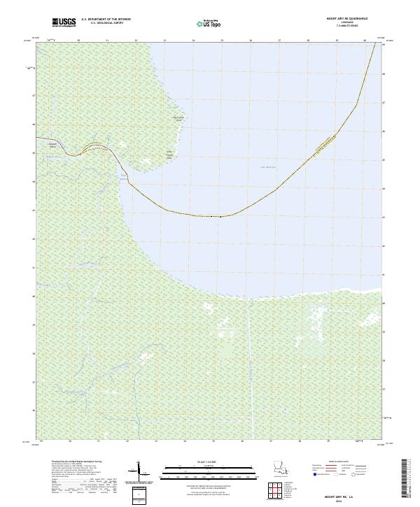
(40)- 2020 Map of Mount Airy NW, 2020 Print
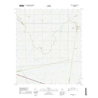 2020 Mount Airy NW2020 Print · USGSCovers Livingston Parish, including Ascension Parish, St. John the Baptist Parish, and other nearby areas
 - 2020 Map of Pine Grove, 2020 Print
 2020 Pine Grove2020 Print · USGSCovers Livingston Parish, including Grangeville, Pine Grove, and other nearby areas
 - 2020 Map of Killian, 2020 Print
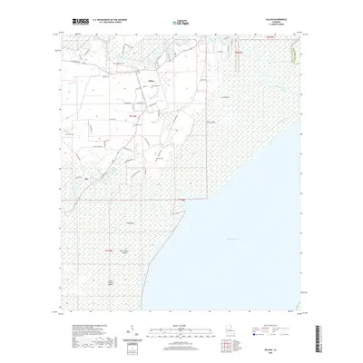 2020 Killian2020 Print · USGSCovers Livingston Parish, including Killian, Clio, and other nearby areas
 - 2020 Map of Pride, 2020 Print
 2020 Pride2020 Print · USGSCovers Livingston Parish, including McKnight Crossing, Reiley, and other nearby areas
 - 2020 Map of Watson, 2020 Print
 2020 Watson2020 Print · USGSCovers Livingston Parish, including Central, Denham Springs, and other nearby areas
 - 2020 Map of Montpelier, 2020 Print
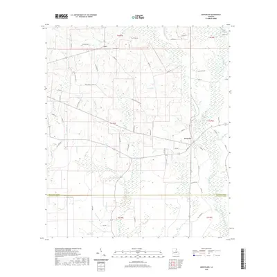 2020 Montpelier2020 Print · USGSCovers Livingston Parish, including Montpelier, Jack, and other nearby areas
 - 2020 Map of Satsuma, 2020 Print
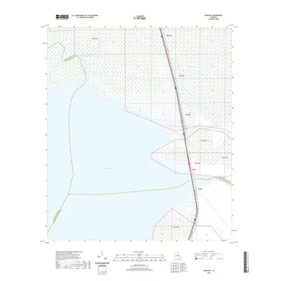
 2020 Satsuma2020 Print · USGSCovers Livingston Parish, including Walker, Livingston, and other nearby areas
 - 2020 Map of Frost, 2020 Print
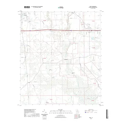 2020 Frost2020 Print · USGSCovers Livingston Parish, including Livingston, Springville, and other nearby areas
 - 2020 Map of Manchac, 2020 Print
 2020 Manchac2020 Print · USGSCovers Livingston Parish, including Manchac, North Pass, and other nearby areas
 - 2020 Map of Holden, 2020 Print
 2020 Holden2020 Print · USGSCovers Livingston Parish, including Livingston, Magnolia, and other nearby areas
 - 2020 Map of Mount Airy NE, 2020 Print
 2020 Mount Airy NE2020 Print · USGSCovers Livingston Parish, including St. John the Baptist Parish, United States, and other nearby areas
 - 2020 Map of Albany, 2020 Print
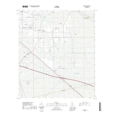
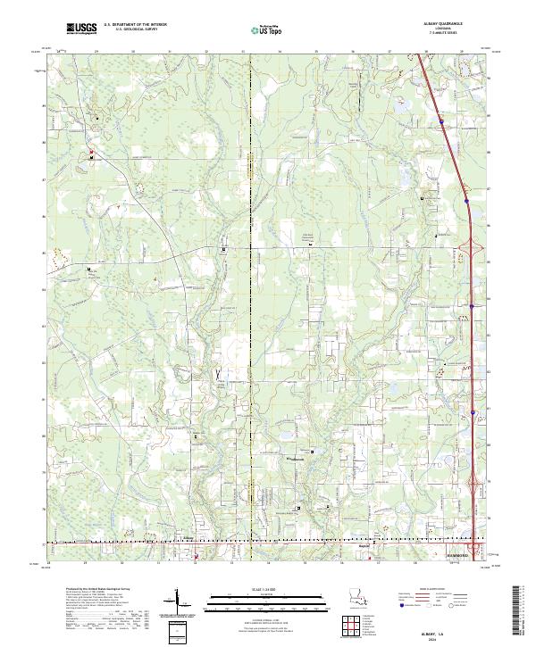
 2020 Albany2020 Print · USGSCovers Livingston Parish, including Hammond, Independence, and other nearby areas
 - 2020 Map of Denham Springs, 2020 Print
 2020 Denham Springs2020 Print · USGSCovers Livingston Parish, including Baton Rouge, St. George, and other nearby areas
 - 2020 Map of Sorrento, 2020 Print
 2020 Sorrento2020 Print · USGSCovers Livingston Parish, including Sorrento, Acy, and other nearby areas
 - 2020 Map of French Settlement, 2020 Print
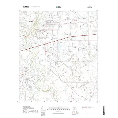
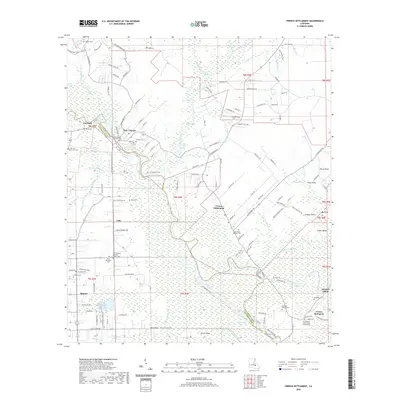 2020 French Settlement2020 Print · USGSCovers Livingston Parish, including French Settlement, Port Vincent, and other nearby areas
 - 2020 Map of Amite, 2020 Print
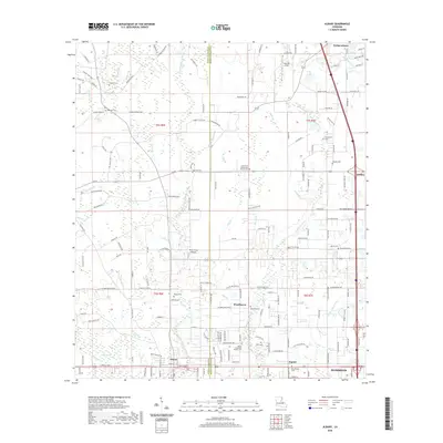
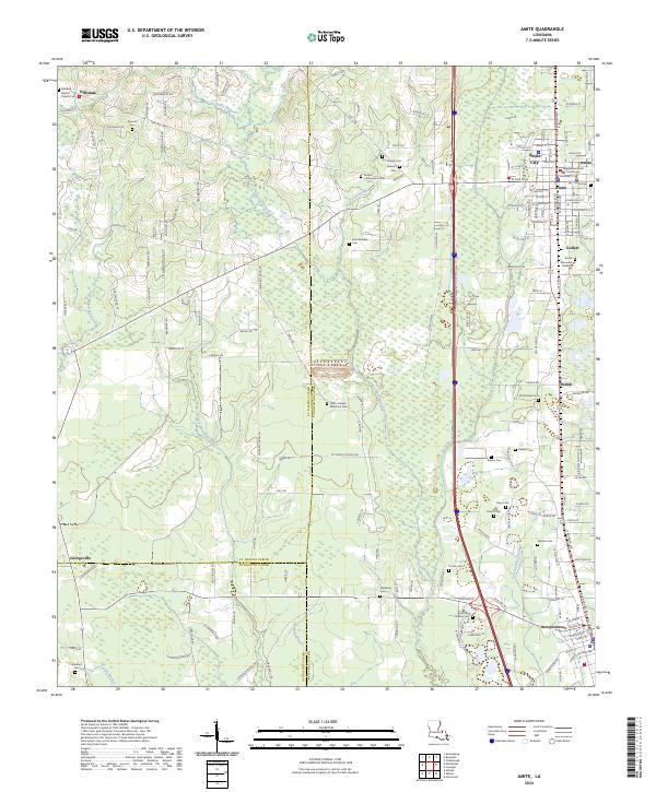
 2020 Amite2020 Print · USGSCovers Livingston Parish, including Independence, Hillsdale, and other nearby areas
 - 2020 Map of Prairieville, 2020 Print
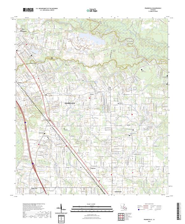
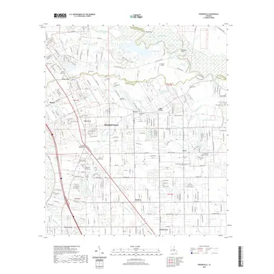 2020 Prairieville2020 Print · USGSCovers Livingston Parish, including St. George, Prairieville, and other nearby areas
 - 2020 Map of Springfield, 2020 Print
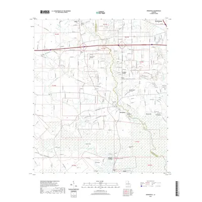 2020 Springfield2020 Print · USGSCovers Livingston Parish, including Hammond, Killian, and other nearby areas
 - 2020 Map of Whitehall, 2020 Print
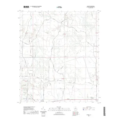
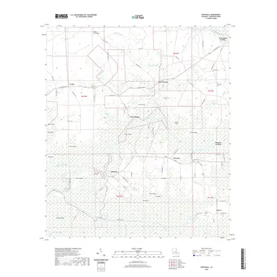 2020 Whitehall2020 Print · USGSCovers Livingston Parish, including Maurepas, Magnolia Landing, and other nearby areas
 - 2020 Map of Walker, 2020 Print
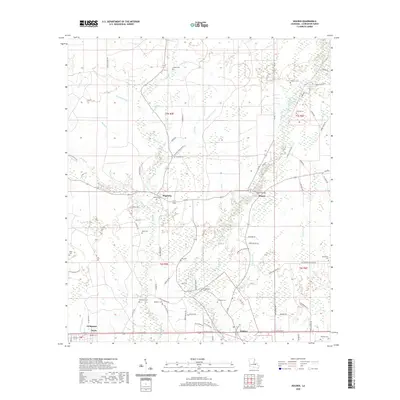
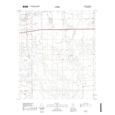 2020 Walker2020 Print · USGSCovers Livingston Parish, including Walker, Livingston, and other nearby areas
 - 2024 Map of Albany, 2024 Print
 2024 Albany2024 Print · USGSThe Livingston and Tangipahoa Parish line comes alive in this current-era survey of the rural South. Genealogists can trace family heritage through numerous burial sites like Zion Hill Cem and Hoover Cem or locate the unique Plane Crazy Airport.
 - 2024 Map of Amite, 2024 Print
 2024 Amite2024 Print · USGSThe rural heart of Tangipahoa Parish is mapped here during a period of modern growth and historical preservation. Genealogists can trace family heritage at the Tangipahoa Parish Courthouse or through local burial grounds like Amite Memorial Gardens and John Sharkey Cem.
 - 2024 Map of Prairieville, 2024 Print
 2024 Prairieville2024 Print · USGSPrairieville and the surrounding Ascension Parish settlements are shown in detail as they appear in the early twenty-first century. Genealogists can trace numerous local burial sites including Broussard Family Cem, Ficklin Cem, and the Prairieville Cem near Muddy Creek.
 - 2024 Map of Mount Airy NE, 2024 Print
 2024 Mount Airy NE2024 Print · USGSThe swampy interface of Livingston and St. John the Baptist Parishes comes into focus in this contemporary survey of the Maurepas basin. You can trace the intricate natural drainage of Mississippi Bayou and Blind River or locate remote landmarks like Alligator Island.
 - 2024 Map of Satsuma, 2024 Print
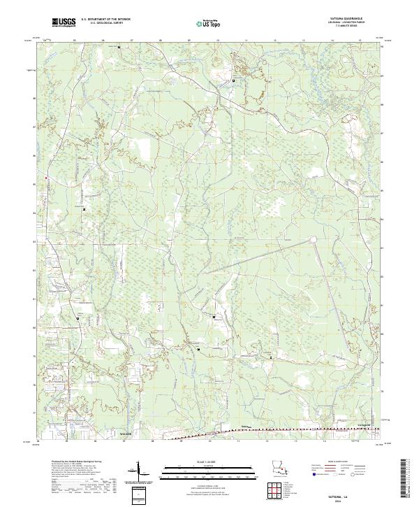 2024 Satsuma2024 Print · USGSSettlement in Livingston Parish centers on the growing corridors of Satsuma and Walker. Genealogists can trace family legacies through numerous local burial sites including Salem Cem, John Lanier Cem, and Sibley Cem.
Showing maps 1-25 of 40
Top cities of Livingston Parish
- Denham Springs historical maps
- Walker historical maps
- Maurepas historical maps
- Livingston historical maps
- Killian historical maps
- Albany historical maps
See more
Frequently asked questions
- What are the different types of historical maps available for Livingston Parish?
- What is the oldest map of Livingston Parish?
- Where can I purchase historical maps of Livingston Parish for my home or office?
- Where can I download high-res historical maps of Livingston Parish?
- Are there historical topographic maps available for Livingston Parish?
- Is there historical aerial imagery available for Livingston Parish?
- Where are historical maps of Livingston Parish sourced from?