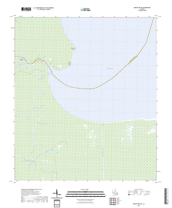
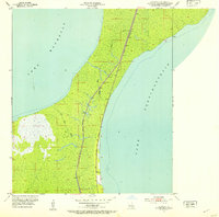
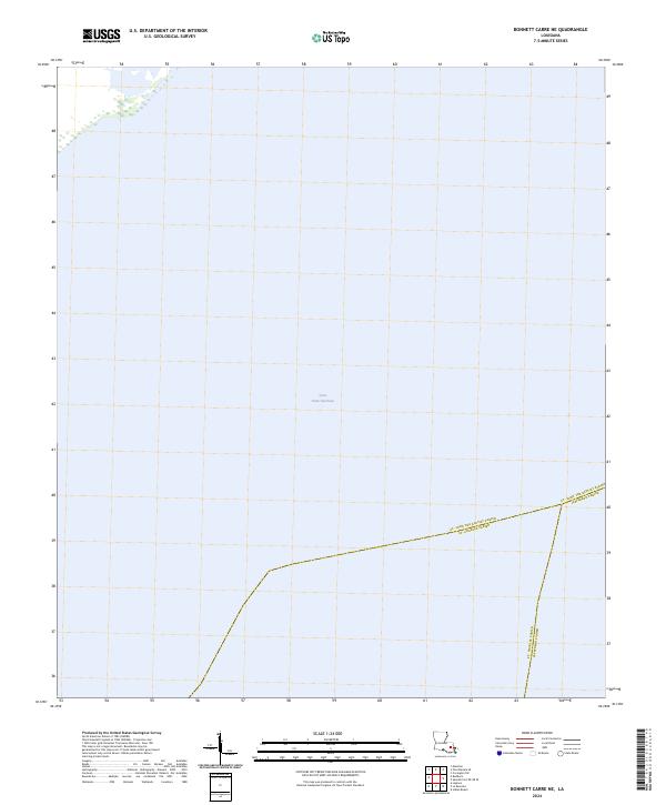
2024 Map of Mount Airy NE
USGS Topo · Published 2024This historical map portrays the area of Mount Airy NE in 2024, primarily covering St. John the Baptist Parish as well as portions of Livingston Parish. Featuring a scale of 1:24000, this map provides a highly detailed snapshot of the terrain, roads, buildings, counties, and historical landmarks in the Mount Airy NE region at the time. Published in 2024, it is the sole known edition of this map.
Find a feature on this map
16 named features on this map. Tap any name to fly to it.
Don’t see what you’re looking for? This feature index may not catch every label — zoom into the map to look around manually.
Map Details
Editions of this 2024 Mount Airy NE Map
This is the sole edition of this map. No revisions or reprints were ever made.
Historical Maps of Livingston Parish Through Time
19 maps found
1892 Bonnet Carre
St. John the Baptist Parish, LA
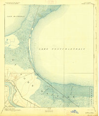
1892 Mount Airy
St. John the Baptist Parish, LA
1932 Lac Des Allemands NE
St. John the Baptist Parish, LA

1936 Bonnet Carre
St. John the Baptist Parish, LA
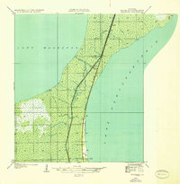
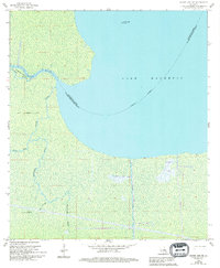
1936 Ruddock
St. John the Baptist Parish, LA
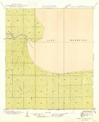
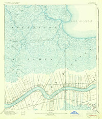
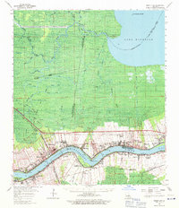
1946 North of Garyville
St. John the Baptist Parish, LA
1952 Ruddock
St. John the Baptist Parish, LA
1957 Bonnet Carre
St. John the Baptist Parish, LA
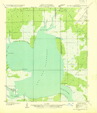
1962 Lac Des Allemands
St. John the Baptist Parish, LA
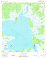
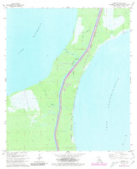
1962 Mount Airy NE
St. John the Baptist Parish, LA
1962 Mount Airy
St. John the Baptist Parish, LA
1967 Bonnett Carre NE
St. John the Baptist Parish, LA
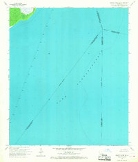
1967 Ruddock
St. John the Baptist Parish, LA
1969 Bonnet Carre
St. John the Baptist Parish, LA
1998 Bonnett Carre NE
St. John the Baptist Parish, LA
2024 Bonnett Carre NE
St. John the Baptist Parish, LA
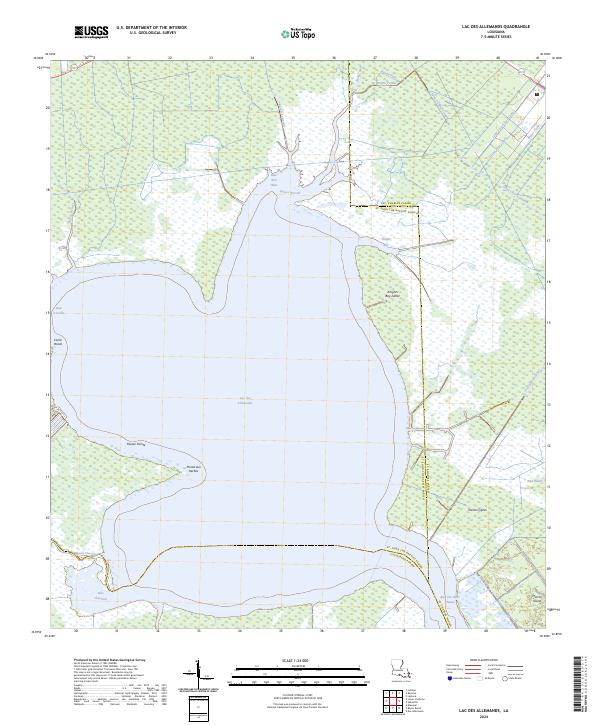
2024 Lac des Allemands
St. John the Baptist Parish, LA
2024 Mount Airy NE
St. John the Baptist Parish, LA
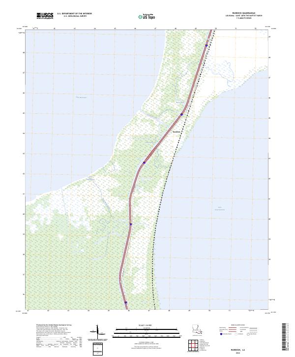
2024 Ruddock
St. John the Baptist Parish, LA