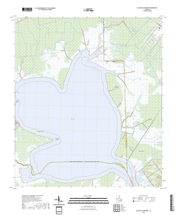
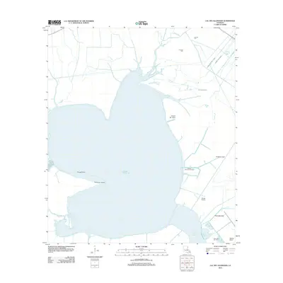
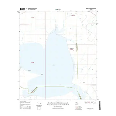
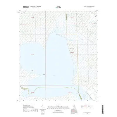
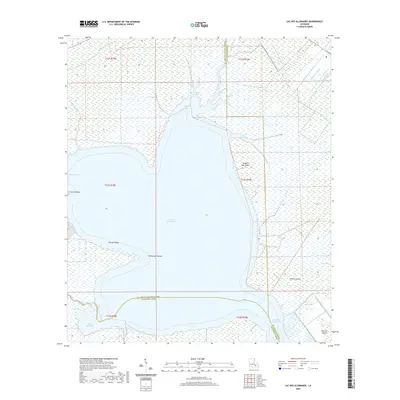
2024 Map of Lac des Allemands
USGS Topo · Published 2024About this map
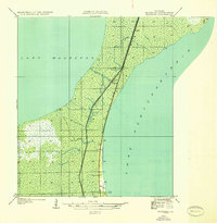
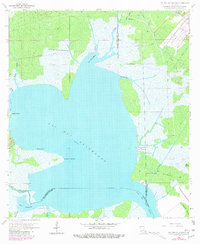
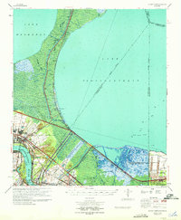
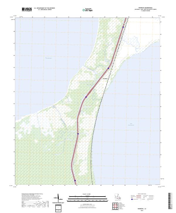
Lac des Allemands dominates this landscape, serving as a hydraulic centerpiece where the borders of St. Charles, St. John the Baptist, and Lafourche parishes converge. The map documents a complex system of waterways and wetlands, characterized by an intricate network of drainage and transportation channels including the Saint Charles Canal, Little Pecan Tree Canal, and Marys Canal. These man-made features cut through the marshy terrain, reflecting the long-standing efforts to manage the water levels and facilitate movement across the delta.
Find a feature on this map
33 named features on this map. Tap any name to fly to it.
Don’t see what you’re looking for? This feature index may not catch every label — zoom into the map to look around manually.
Map Details
Editions of this 2024 Lac des Allemands Map
This is the sole edition of this map. No revisions or reprints were ever made.
Historical Maps of Lafourche Parish Through Time
35 maps found
1892 Bonnet Carre
St. John the Baptist Parish, LA
1892 Mount Airy
St. John the Baptist Parish, LA
1932 Lac Des Allemands NE
St. John the Baptist Parish, LA

1936 Bonnet Carre
St. John the Baptist Parish, LA
1936 Ruddock
St. John the Baptist Parish, LA
1946 North of Garyville
St. John the Baptist Parish, LA
1952 Ruddock
St. John the Baptist Parish, LA
1957 Bonnet Carre
St. John the Baptist Parish, LA
1962 Lac Des Allemands
St. John the Baptist Parish, LA
1962 Mount Airy NE
St. John the Baptist Parish, LA
1962 Mount Airy
St. John the Baptist Parish, LA
1967 Bonnett Carre NE
St. John the Baptist Parish, LA
1967 Ruddock
St. John the Baptist Parish, LA
1969 Bonnet Carre
St. John the Baptist Parish, LA
1998 Bonnett Carre NE
St. John the Baptist Parish, LA
2012 Bonnett Carre NE
St. John the Baptist Parish, LA
2012 Lac des Allemands
St. John the Baptist Parish, LA
2012 Mount Airy NE
St. John the Baptist Parish, LA
2012 Ruddock
St. John the Baptist Parish, LA
2015 Bonnett Carre NE
St. John the Baptist Parish, LA
2015 Lac des Allemands
St. John the Baptist Parish, LA
2015 Mount Airy NE
St. John the Baptist Parish, LA
2015 Ruddock
St. John the Baptist Parish, LA
2018 Bonnett Carre NE
St. John the Baptist Parish, LA
2018 Lac des Allemands
St. John the Baptist Parish, LA
2018 Mount Airy NE
St. John the Baptist Parish, LA
2018 Ruddock
St. John the Baptist Parish, LA
2020 Bonnett Carre NE
St. John the Baptist Parish, LA
2020 Lac des Allemands
St. John the Baptist Parish, LA
2020 Mount Airy NE
St. John the Baptist Parish, LA

2020 Ruddock
St. John the Baptist Parish, LA
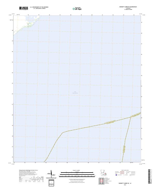
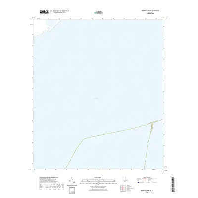
2024 Bonnett Carre NE
St. John the Baptist Parish, LA
2024 Lac des Allemands
St. John the Baptist Parish, LA
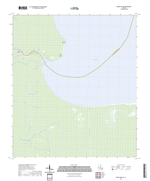
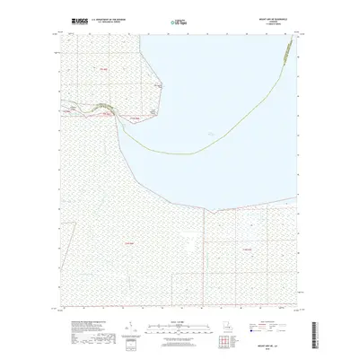
2024 Mount Airy NE
St. John the Baptist Parish, LA
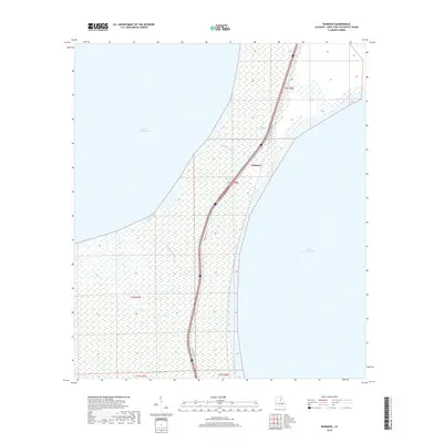
2024 Ruddock
St. John the Baptist Parish, LA