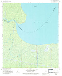
1962 Map of Mount Airy NE
USGS Topo · Published 1994About this map
Lake Maurepas dominates the eastern half of this Louisiana landscape, where the southern shoreline transitions into a dense network of swampy drainages and bayous. The Lake Maurepas Oil Field sits within the waters, indicating the mid-century industrial presence in this coastal environment. To the west, the Blind River meanders toward the lake, creating a complex hydrologic system alongside Alligator Island.
Find a feature on this map
14 named features on this map. Tap any name to fly to it.
Don’t see what you’re looking for? This feature index may not catch every label — zoom into the map to look around manually.
Map Details
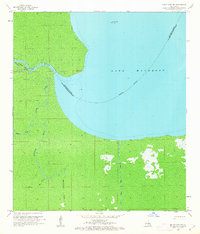
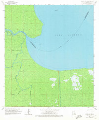
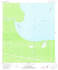
Editions of this 1962 Mount Airy NE Map
4 editions found
Other maps of this area

1892 · Mount Airy
USGS Topo · 1:62,500

1892 · Bonnet Carre
USGS Topo · 1:62,500

1934 · Springfield
USGS Topo · 1:62,500

1935 · Laplace
USGS Topo · 1:31,680

1935 · Ponchatoula
USGS Topo · 1:62,500

1936 · Ruddock
USGS Topo · 1:31,680

1936 · Bonnet Carre
USGS Topo · 1:62,500

1939 · Ponchatoula
USGS Topo · 1:62,500

1939 · Springfield
USGS Topo · 1:62,500

1946 · North of Garyville
USGS Topo · 1:31,680