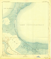
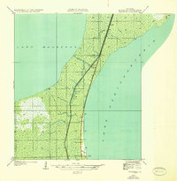
1892 Map of Bonnet Carre
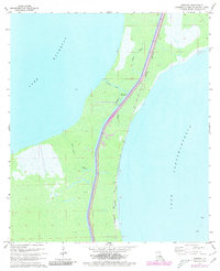
USGS Topo · Published 1928About this map
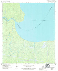
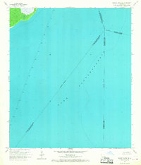
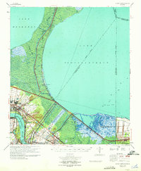
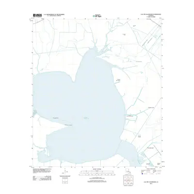
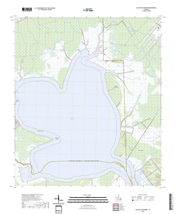
The low-lying wetlands of southern Louisiana dominate this late-nineteenth-century survey, defined by the sweeping curve of Lake Pontchartrain and its connection to Lake Maurepas. The landscape is a complex network of bayous, including Bayou La Branche and Bayou Trepagnier, illustrating the delicate hydrological balance of the Mississippi River delta. The Bonnet Carre Crevasse serves as a stark reminder of the river's power, marking a significant break in the levee system that historically altered the local terrain.
Find a feature on this map
19 named features on this map. Tap any name to fly to it.
Don’t see what you’re looking for? This feature index may not catch every label — zoom into the map to look around manually.
Map Details
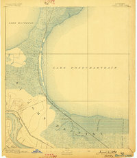
Editions of this 1892 Bonnet Carre Map
3 editions found

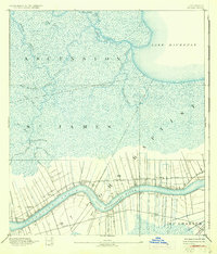
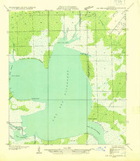
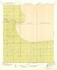
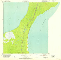
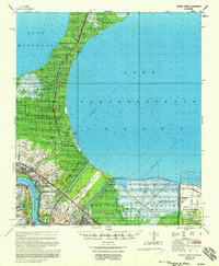
Historical Maps of Kenner Through Time
35 maps found
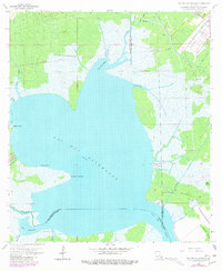
1892 Bonnet Carre
St. John the Baptist Parish, LA
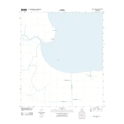
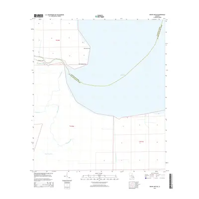
1892 Mount Airy
St. John the Baptist Parish, LA
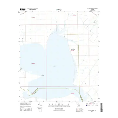
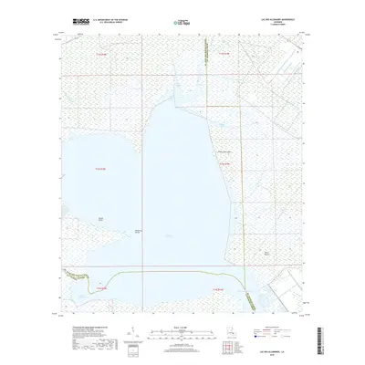
1932 Lac Des Allemands NE
St. John the Baptist Parish, LA

1936 Bonnet Carre
St. John the Baptist Parish, LA
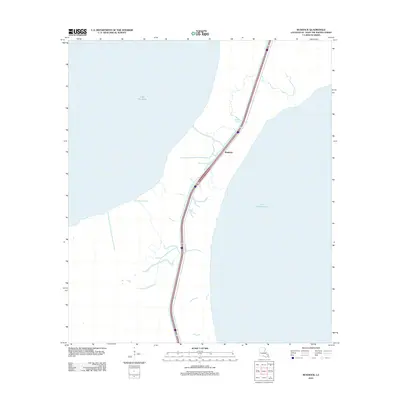
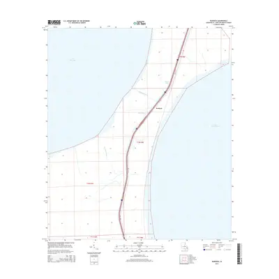
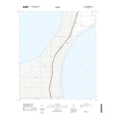
1936 Ruddock
St. John the Baptist Parish, LA
1946 North of Garyville
St. John the Baptist Parish, LA
1952 Ruddock
St. John the Baptist Parish, LA
1957 Bonnet Carre
St. John the Baptist Parish, LA
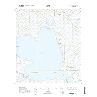
1962 Lac Des Allemands
St. John the Baptist Parish, LA
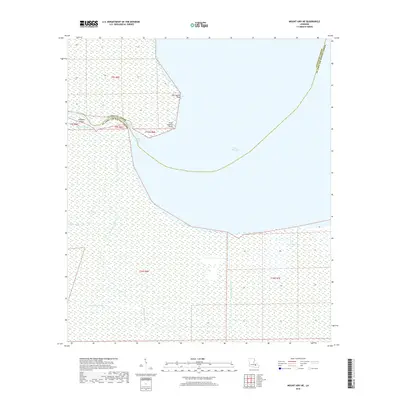
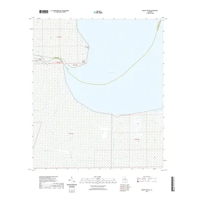
1962 Mount Airy NE
St. John the Baptist Parish, LA
1962 Mount Airy
St. John the Baptist Parish, LA
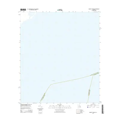
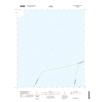
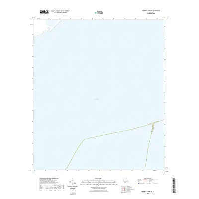
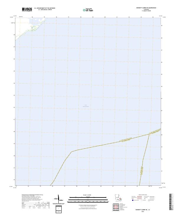
1967 Bonnett Carre NE
St. John the Baptist Parish, LA
1967 Ruddock
St. John the Baptist Parish, LA
1969 Bonnet Carre
St. John the Baptist Parish, LA
1998 Bonnett Carre NE
St. John the Baptist Parish, LA
2012 Bonnett Carre NE
St. John the Baptist Parish, LA
2012 Lac des Allemands
St. John the Baptist Parish, LA
2012 Mount Airy NE
St. John the Baptist Parish, LA
2012 Ruddock
St. John the Baptist Parish, LA
2015 Bonnett Carre NE
St. John the Baptist Parish, LA
2015 Lac des Allemands
St. John the Baptist Parish, LA
2015 Mount Airy NE
St. John the Baptist Parish, LA
2015 Ruddock
St. John the Baptist Parish, LA
2018 Bonnett Carre NE
St. John the Baptist Parish, LA
2018 Lac des Allemands
St. John the Baptist Parish, LA
2018 Mount Airy NE
St. John the Baptist Parish, LA
2018 Ruddock
St. John the Baptist Parish, LA
2020 Bonnett Carre NE
St. John the Baptist Parish, LA
2020 Lac des Allemands
St. John the Baptist Parish, LA
2020 Mount Airy NE
St. John the Baptist Parish, LA

2020 Ruddock
St. John the Baptist Parish, LA
2024 Bonnett Carre NE
St. John the Baptist Parish, LA
2024 Lac des Allemands
St. John the Baptist Parish, LA
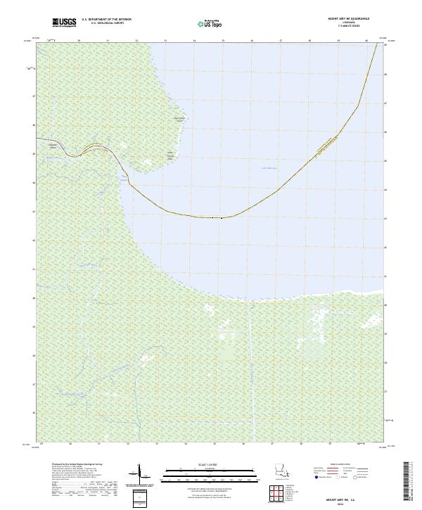
2024 Mount Airy NE
St. John the Baptist Parish, LA
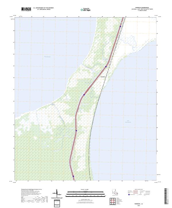
2024 Ruddock
St. John the Baptist Parish, LA