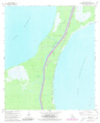
1967 Map of Ruddock
USGS Topo · Published 1980About this map
Lake Maurepas and Lake Pontchartrain dominate this narrow Louisiana land bridge, showing a landscape defined by water and infrastructure during the late 1960s and 1970s. The settlement of Ruddock sits as a lonely outpost along the Ruddock Canal, situated where the Illinois Central Gulf railroad cuts a straight path through the wetlands. This transportation corridor is the lifeblood of the area, shadowed by a primitive Jeep Trail that follows the tracks through the marsh.
Find a feature on this map
15 named features on this map. Tap any name to fly to it.
Don’t see what you’re looking for? This feature index may not catch every label — zoom into the map to look around manually.
Map Details
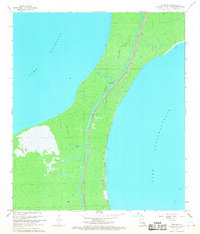
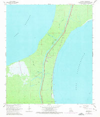
Editions of this 1967 Ruddock Map
3 editions found
Other maps of this area

1892 · Mount Airy
USGS Topo · 1:62,500

1892 · Bonnet Carre
USGS Topo · 1:62,500

1934 · Springfield
USGS Topo · 1:62,500

1935 · Laplace
USGS Topo · 1:31,680

1935 · Ponchatoula
USGS Topo · 1:62,500

1936 · Ruddock
USGS Topo · 1:31,680

1936 · Bonnet Carre
USGS Topo · 1:62,500
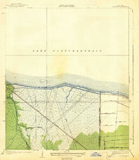
1938 · La Branche
USGS Topo · 1:31,680

1939 · Ponchatoula
USGS Topo · 1:62,500

1939 · Springfield
USGS Topo · 1:62,500