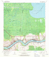
1962 Map of Mount Airy
USGS Topo · Published 1971About this map
The Mississippi River defines this landscape, winding between the parishes of St. John the Baptist and St. James. Along its fertile banks, historic river-side estates such as Evergreen Plantation, San Francisco Plantation, and Belle Point Plantation stand as remnants of the region's agricultural past. This 1962 data reflects a transition toward industrialization, with the Vacherie Oil and Gas Field and the Lake Maurepas Oil Field indicating the growth of the petroleum industry in the wetlands surrounding Lake Maurepas.
Find a feature on this map
89 named features on this map. Tap any name to fly to it.
Don’t see what you’re looking for? This feature index may not catch every label — zoom into the map to look around manually.
Map Details
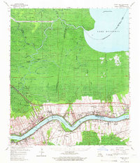
Editions of this 1962 Mount Airy Map
2 editions found
Other maps of this area

1891 · Hahnville
USGS Topo · 1:62,500

1892 · Lac Des Allemands
USGS Topo · 1:62,500

1892 · Mount Airy
USGS Topo · 1:62,500

1892 · Bonnet Carre
USGS Topo · 1:62,500

1892 · Donaldsonville
USGS Topo · 1:62,500

1892 · Thibodaux
USGS Topo · 1:62,500

1932 · Lac Des Allemands NW
USGS Topo · 1:31,680

1932 · Thibodaux NE
USGS Topo · 1:31,680

1932 · Hahnville NW
USGS Topo · 1:31,680

1932 · Lac Des Allemands NE
USGS Topo · 1:31,680