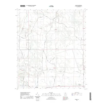
2020 Map of Satsuma
USGS Topo · Published 2020About this map
Satsuma and the eastern outskirts of Walker anchor this 2020 topographic record of Livingston Parish, Louisiana. The landscape is defined by the branching waterways of Colyell Creek and Hornsby Creek, which drain a region where residential development increasingly intermingles with timbered lowlands. These watercourses, including Middle Colyell Creek and Little Beaver Dam Creek, dictated the early orientation of local roads and settlement patterns.
Find a feature on this map
85 named features on this map. Tap any name to fly to it.
Don’t see what you’re looking for? This feature index may not catch every label — zoom into the map to look around manually.
Map Details
Editions of this 2020 Satsuma Map
This is the sole edition of this map. No revisions or reprints were ever made.
Other maps of this area

1934 · Denham Springs
USGS Topo · 1:62,500

1934 · Springfield
USGS Topo · 1:62,500

1939 · Springfield
USGS Topo · 1:62,500

1939 · Denham Springs
USGS Topo · 1:62,500

1942 · Montpelier
USGS Topo · 1:31,680

1942 · Pine Grove
USGS Topo · 1:31,680

1942 · Pride
USGS Topo · 1:31,680

1942 · Watson
USGS Topo · 1:31,680

1942 · Satsuma
USGS Topo · 1:31,680

1950 · Doyle
USGS Topo · 1:31,680