Old Maps of Collinston, Louisiana for Academic Research
Study the evolution of Collinston with 19 high-resolution historic maps. Whether you're teaching, researching, or modeling changes in land use, these maps provide essential visual documentation of urban, environmental, and geographic change.
- Analyze long-term change: Track patterns in development, transportation, and natural features.
- Ideal for environmental or urban studies: Support academic projects with primary historical map data.
- Use in the classroom or lab: Educators and researchers rely on these maps to bring historical context to life.
These maps are a powerful tool for teaching, research, and visualizing how Collinston has changed over the decades.
Collinston, LA maps
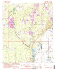
(19)- 1935 Map of Collinston
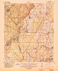 1935 Collinston1935 Print · USGSMorehouse and Ouachita Parishes are seen here in the mid-1930s during a period of heavy industrialization fueled by the natural gas boom. Researchers can trace the sprawling footprints of the Southern Carbon Co and find rural landmarks like Jerusalem Ch and the Indian Mounds.
 - 1955 Map of Jackson
 1955 Jackson1955 Print · USGSThe Lower Mississippi Valley at the middle of the century reveals a landscape of deep river meanders and growing rail hubs. Genealogists and historians can trace the mid-century footprints of Vicksburg National Military Park, old river landings at Port Gibson, and the rail corridors of the Illinois Central Railroad.3 unique versions available
 - 1957 Map of Collinston, 1958 Print
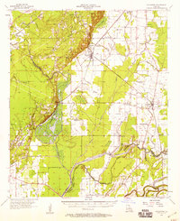 1957 Collinston1958 Print · USGSMorehouse and Richland Parishes are shown in the late fifties, featuring the transition from agricultural bayous to active gas fields. Genealogists can locate family landmarks like Cedar Grove Sch, William Chapel, and the ancient Indian Mounds near Oak Ridge.3 unique versions available
 - 1961 Map of Jackson
 1961 Jackson1961 Print · USGSThe Lower Mississippi Delta and the state capital area are captured here during the post-war era of infrastructure expansion. Researchers can trace the complex river oxbows and rail lines connecting Vicksburg, Yazoo City, and the Illinois Central Railroad network.
 - 1962 Map of Jackson
 1962 Jackson1962 Print · USGSThe Mississippi Delta and the state capital region are mapped here in the early sixties, showing a landscape defined by the great river and the growing city of JACKSON. Genealogists can trace family roots through numerous landmarks like Cedar Hill Cem, rural stops on the Illinois Central RR, and historic sites like Champion Hill.2 unique versions available
 - 1982 Map of Collinston East, 1983 Print
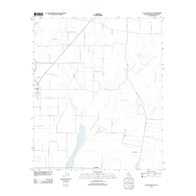
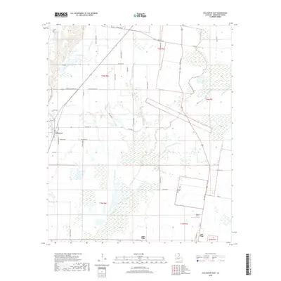
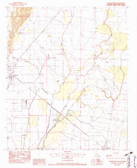 1982 Collinston East1983 Print · USGSThe Louisiana delta near Collinston and Oak Ridge is shown here in the early 1980s, shaped by the Missouri Pacific rail line and shifting bayous. Researchers can trace local heritage at Mallette Cem, Indian Mounds, and numerous country churches.
 - 1982 Map of Collinston West, 1983 Print
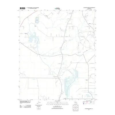
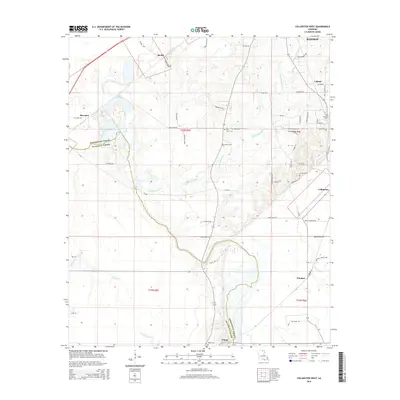
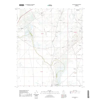
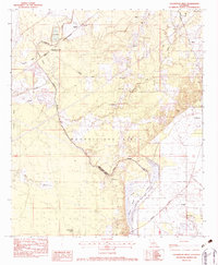 1982 Collinston West1983 Print · USGSThe Louisiana backcountry of Morehouse Parish in the early eighties is captured here, showing the extensive Monroe Gas Field and river wetlands. Genealogists can trace family names at the Carter Cem, Ebenezer Ch, and the high ground of Trouser Hill.
 - 1982 Map of Bastrop, 1983 Print
 1982 Bastrop1983 Print · USGSNortheastern Louisiana and the Mississippi River Delta are captured here in the early eighties as a landscape of bayous and river towns. Genealogists and historians can trace small communities like Mer Rouge and Oak Grove or the ancient terrain of Poverty Point State Park.
 - 1994 Map of Collinston West, 1995 Print
 1994 Collinston West1995 Print · USGSThe Morehouse Parish backcountry near the end of the century reveals a landscape shaped by the Monroe Gas Field and expansive wetlands. Researchers can trace family sites at Pickett Cem, the Fairbanks Lookout Tower, and Spyker.
 - 2012 Map of Collinston East, 2012 Print
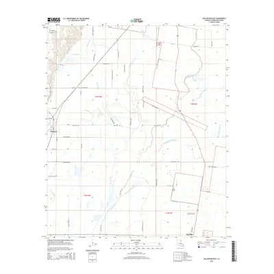
 2012 Collinston East2012 Print · USGSCovers Collinston, including Oak Ridge, Gum Ridge, and other nearby areas
 - 2012 Map of Collinston West, 2012 Print
 2012 Collinston West2012 Print · USGSCovers Collinston, including Bastrop, Windsor, and other nearby areas
 - 2015 Map of Collinston East, 2015 Print
 2015 Collinston East2015 Print · USGSCovers Collinston, including Oak Ridge, Gum Ridge, and other nearby areas
 - 2015 Map of Collinston West, 2015 Print
 2015 Collinston West2015 Print · USGSCovers Collinston, including Bastrop, Windsor, and other nearby areas
 - 2018 Map of Collinston East, 2018 Print
 2018 Collinston East2018 Print · USGSCovers Collinston, including Oak Ridge, Gum Ridge, and other nearby areas
 - 2018 Map of Collinston West, 2018 Print
 2018 Collinston West2018 Print · USGSCovers Collinston, including Bastrop, Windsor, and other nearby areas
 - 2020 Map of Collinston East, 2020 Print
 2020 Collinston East2020 Print · USGSCovers Collinston, including Oak Ridge, Gum Ridge, and other nearby areas
 - 2020 Map of Collinston West, 2020 Print
 2020 Collinston West2020 Print · USGSCovers Collinston, including Bastrop, Windsor, and other nearby areas
 - 2024 Map of Collinston West, 2024 Print
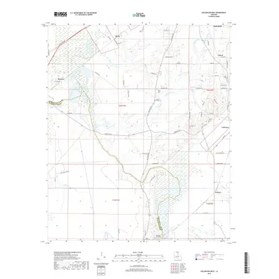
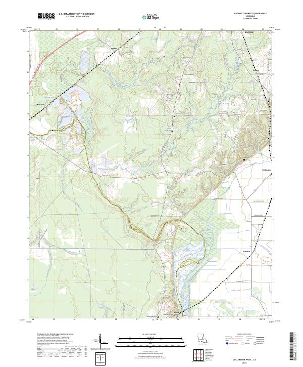 2024 Collinston West2024 Print · USGSIn the contemporary landscape of Morehouse Parish, the complex wetlands of Wham Brake define the border with Ouachita Parish. Genealogists can trace local roots through numerous family landmarks including the Pickett Family Cem, Carter Cem, and the settlement at Spyker.
 - 2024 Map of Collinston East, 2024 Print
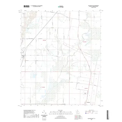
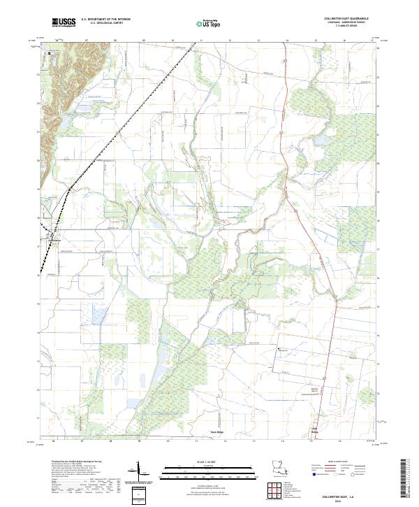 2024 Collinston East2024 Print · USGSThe rural expanses of Morehouse Parish come into focus here, showing the agricultural and waterway networks of northern Louisiana. Genealogists and historians can trace local landmarks like Cooper Cem, the community of Gum Ridge, and the winding path of Little Bayou Bonne Idee.
End of results
Showing maps 1-19 of 19
Top cities near Collinston
- Monroe historical maps
- Bastrop historical maps
- Swartz historical maps
- Rayville historical maps
- Richwood historical maps
- Sterlington historical maps
See more
Frequently asked questions
- What are the different types of historical maps available for Collinston?
- What is the oldest map of Collinston?
- Where can I purchase historical maps of Collinston for my home or office?
- Where can I download high-res historical maps of Collinston?
- Are there historical topographic maps available for Collinston?
- Is there historical aerial imagery available for Collinston?
- Where are historical maps of Collinston sourced from?