Old Maps of Marthaville, Louisiana for Metal Detecting
Plan your next treasure hunt with 12 historic maps of Marthaville. Find old homesites, ghost towns, trails, and gathering spots that may be lost to time — perfect for identifying promising metal detecting locations.
- Locate forgotten sites: Uncover places like long-lost settlements, abandoned rail lines, or gathering spots.
- Plan better hunts: Use map overlays combined with LiDAR or satellite views to narrow in on historically rich areas.
- Made for detectorists: Thousands of hobbyists use these maps to discover relics, coins, and hidden history.
Use these historic maps to boost your research and find new opportunities beneath the surface of Marthaville.
Marthaville, LA maps
(12)- 1942 Map of Many
 1942 Many1942 Print · USGSSabine and Natchitoches Parishes are shown here in the early 1940s, a landscape defined by timber, railroads, and tight-knit rural communities. You can trace early family sites at Fort Jesup, find remote country schools like Armstrong Sch, and locate the CCC Camp.2 unique versions available
 - 1943 Map of Many
 1943 Many1943 Print · USGSSabine Parish during the early years of the war shows a landscape of timber camps and rail-dependent villages. Genealogists can trace family names through dozens of landmarks like Mt Carmel Cem, Fort Jesup, and the CCC Camp.
 - 1953 Map of Alexandria, 1963 Print
 1953 Alexandria1963 Print · USGSCentral Louisiana during the early fifties is mapped here at the intersection of the piney woods and the Red River valley. Genealogists and historians can trace the rail-and-river network connecting towns like Alexandria, Natchitoches, and the grounds of Camp Beauregard.3 unique versions available
 - 1955 Map of Alexandria
 1955 Alexandria1955 Print · USGSCentral Louisiana in the mid-fifties is a landscape of river-port cities, sprawling timberlands, and massive military reservations. Genealogists and historians can trace the rail networks of the Texas & Pacific RR and locate sites like Camp Polk Military Reservation and Natchitoches.
 - 1957 Map of Many, 1958 Print
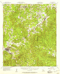 1957 Many1958 Print · USGSWestern Louisiana in the late fifties was a landscape of deep bayous and scattered parish outposts. Researchers can trace the legacy of Fort Jesup and locate rural landmarks like Vowells Mill, Marthaville, and numerous family churches.3 unique versions available
 - 1986 Map of Natchitoches
 1986 Natchitoches1986 Print · USGSNorthwestern Louisiana during the mid-eighties shows a landscape shaped by major water projects and timberlands. Researchers can trace historic routes like the Old Spanish Trail or locate rural communities such as Fort Jesup, Fairview Alpha, and Grappes Bluff.2 unique versions available
 - 1988 Map of Marthaville
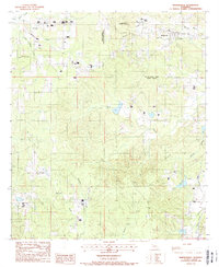 1988 Marthaville1988 Print · USGSThe borderlands of Natchitoches and Sabine Parishes are shown here in the late eighties, dominated by the bayou-laced terrain of the Louisiana interior. Researchers can trace rural life and industry through labels for Marthaville, the local Clay Pits, and Rebel State Commemorative Area.
 - 2012 Map of Marthaville, 2012 Print
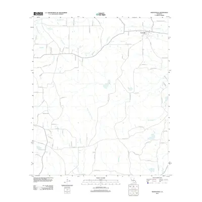 2012 Marthaville2012 Print · USGSMarthaville and the rural reaches of Natchitoches Parish are detailed here in the early twenty-first century. Genealogists and researchers can trace local family land and industry via the Klondike Oil Field and landmarks like Mayous Bayou.
 - 2015 Map of Marthaville, 2015 Print
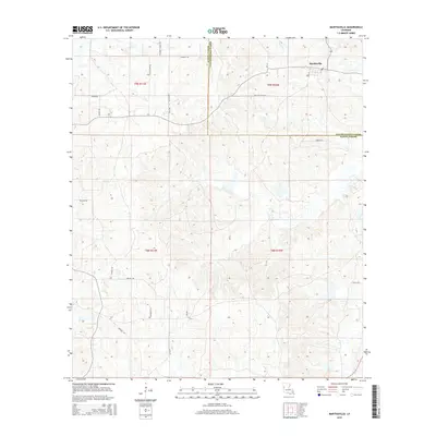 2015 Marthaville2015 Print · USGSMarthaville sits at the crossroads of Natchitoches and Sabine Parishes in this modern survey of the Louisiana hill country. Genealogists can trace family footprints along named routes like Preston Hayes Rd, Little Egypt Rd, and Emanuel Church Rd.
 - 2018 Map of Marthaville, 2018 Print
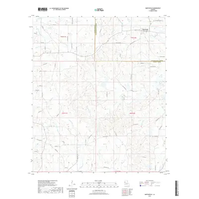 2018 Marthaville2018 Print · USGSMarthaville and the surrounding timberlands of Natchitoches Parish are documented here in the late 2010s. Researchers can trace rural property lines and local landmarks along Bayou of the Three Prairies, Sawmill Rd, and Mayous Bayou.
 - 2020 Map of Marthaville, 2020 Print
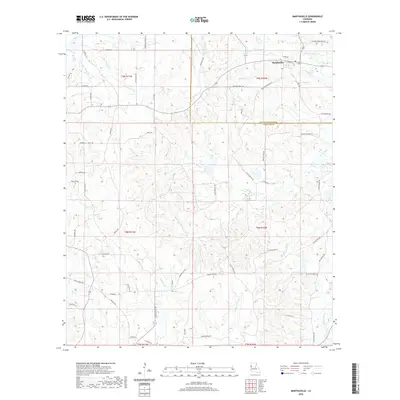 2020 Marthaville2020 Print · USGSThe community of Marthaville and the winding border between Natchitoches and Sabine Parishes are documented here in the early twenty-first century. Genealogists and local historians can trace family road names like Preston Hayes Rd and explore the complex drainage of Bayou of the Three Prairies and Mayous Bayou.
 - 2024 Map of Marthaville, 2024 Print
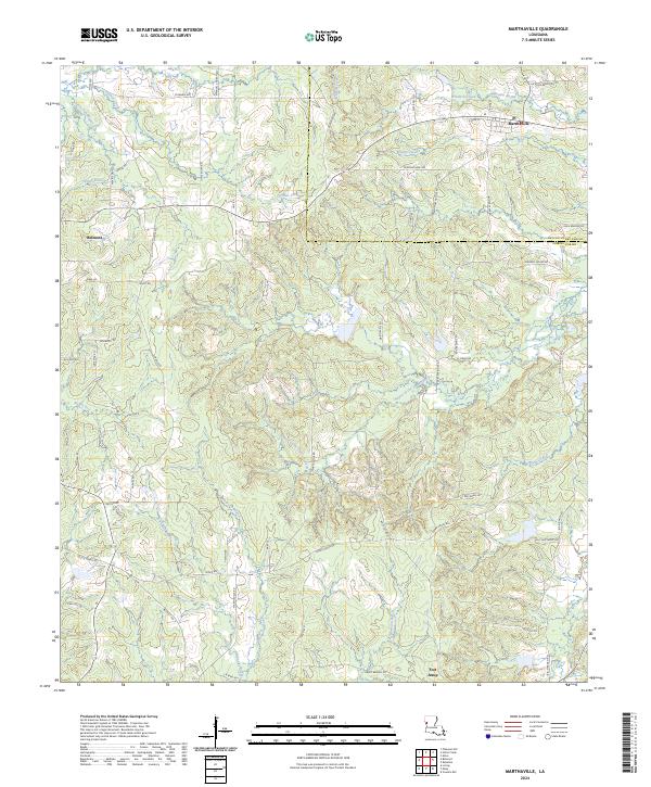 2024 Marthaville2024 Print · USGSMarthaville and the Sabine-Natchitoches border country are captured here in the early twenty-first century. Researchers can trace family road names and historic sites like Fort Jesup, Belmont, and Sawmill Rd.
End of results
Showing maps 1-12 of 12
Top cities near Marthaville
- Many historical maps
- Zwolle historical maps
- Pleasant Hill historical maps
- Provencal historical maps
- Robeline historical maps
- Powhatan historical maps
Frequently asked questions
- What are the different types of historical maps available for Marthaville?
- What is the oldest map of Marthaville?
- Where can I purchase historical maps of Marthaville for my home or office?
- Where can I download high-res historical maps of Marthaville?
- Are there historical topographic maps available for Marthaville?
- Is there historical aerial imagery available for Marthaville?
- Where are historical maps of Marthaville sourced from?