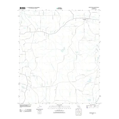
2012 Map of Marthaville
USGS Topo · Published 2012About this map
Marthaville serves as the primary settlement center in this 2012 survey of Natchitoches Parish, where the local economy and geography are defined by a complex network of waterways and resource extraction. The Klondike Oil Field marks the western landscape, signaling the enduring importance of the petroleum industry in this part of Louisiana. The terrain is intricately carved by numerous streams and bayous, most notably the Bayou of the Three Prairies and the northern San Miguel Cr.
Find a feature on this map
92 named features on this map. Tap any name to fly to it.
Don’t see what you’re looking for? This feature index may not catch every label — zoom into the map to look around manually.
Map Details
Editions of this 2012 Marthaville Map
This is the sole edition of this map. No revisions or reprints were ever made.
Other maps of this area

1938 · Hollis Creek
USGS Topo · 1:31,680

1938 · Allen
USGS Topo · 1:31,680

1941 · Zwolle
USGS Topo · 1:62,500

1941 · Pelican
USGS Topo · 1:62,500

1942 · Many
USGS Topo · 1:62,500

1943 · Many
USGS Topo · 1:62,500

1943 · Pleasant Hill
USGS Topo · 1:62,500

1944 · Zwolle
USGS Topo · 1:62,500

1944 · Pleasant Hill
USGS Topo · 1:62,500

1947 · Hanna
USGS Topo · 1:62,500