Old Maps of Afeman, Louisiana for Hiking & Exploration
Hike through history with 12 historic maps of Afeman. Explore old trails, ghost towns, and forgotten backroads — perfect for outdoor adventurers and local explorers.
- Rediscover forgotten places: Map out old mining camps, roads, and footpaths that no longer exist on modern maps.
- Layer with modern tools: Combine with LiDAR or satellite views to plan hikes through historical terrain.
- Made for exploration: Popular among hikers, overlanders, and local history lovers.
Use these maps to find adventure and explore the hidden past of Afeman.
Afeman, LA maps
(12)- 1943 Map of Leander
 1943 Leander1943 Print · USGSVernon and Rapides Parishes are shown in the early 1940s as the regional economy shifted from timber production to military training. Researchers can trace the Old Logging Railroad and locate vanished company centers like Fullerton or rural landmarks like Mt Moriah Ch.2 unique versions available
 - 1953 Map of Alexandria, 1963 Print
 1953 Alexandria1963 Print · USGSCentral Louisiana during the early fifties is mapped here at the intersection of the piney woods and the Red River valley. Genealogists and historians can trace the rail-and-river network connecting towns like Alexandria, Natchitoches, and the grounds of Camp Beauregard.3 unique versions available
 - 1954 Map of Leander, 1958 Print
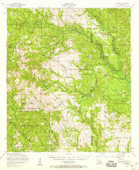 1954 Leander1958 Print · USGSIn the mid-1950s, this portion of Louisiana shows the evolving landscape of Fort Polk and the timber-rich Kisatchie National Forest. Researchers can trace old logging routes like the dismantled railroad and locate sites like the Floctaw School and Hicks Crossing.2 unique versions available
 - 1954 Map of Leander SE, 1959 Print
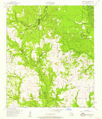 1954 Leander SE1959 Print · USGSRapides and Vernon Parishes in the mid-fifties reveal a landscape of timber-driven development and military expansion. Genealogists and historians can trace the paths of a Dismantled railroad and locate rural landmarks like Mount Moriah Church and Doyle Cemetery.
 - 1955 Map of Alexandria
 1955 Alexandria1955 Print · USGSCentral Louisiana in the mid-fifties is a landscape of river-port cities, sprawling timberlands, and massive military reservations. Genealogists and historians can trace the rail networks of the Texas & Pacific RR and locate sites like Camp Polk Military Reservation and Natchitoches.
 - 1986 Map of Alexandria
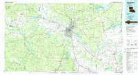 1986 Alexandria1986 Print · USGSCentral Louisiana in the mid-eighties shows a landscape of strategic military installations and deep river-valley agriculture. Researchers can trace the footprints of England Air Force Base, Camp Beauregard, and the extensive Kisatchie National Forest.2 unique versions available
 - 2003 Map of Afeman, 2005 Print
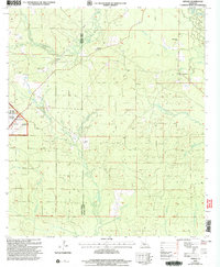 2003 Afeman2005 Print · USGSRapides and Vernon Parishes come together in the early 2000s in this detailed look at the forest lands near the Calcasieu River. Researchers can trace local lineages through several landmarks, including Lone Star Cemeteries, Doyle Cem, and the rural community of Afeman.
 - 2012 Map of Afeman, 2012 Print
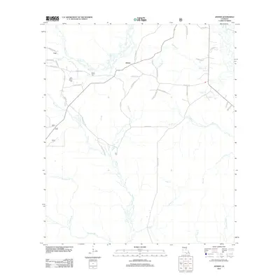 2012 Afeman2012 Print · USGSRapides Parish in the early 2000s remains a landscape of dense pine forests and winding creek beds. Genealogists can trace family heritage through local landmarks like Mount Moriah Cem, Doyle Cem, and family-named routes such as Bud Bounds Rd.
 - 2015 Map of Afeman, 2015 Print
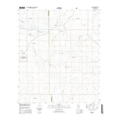 2015 Afeman2015 Print · USGSRapides Parish and the eastern edge of Vernon Parish appear here during a period of quiet rural life and forest conservation. Researchers can trace family sites like Mount Moriah Cem and Doyle Cem, or follow family-named routes including Red John Hilton Rd.
 - 2018 Map of Afeman, 2018 Print
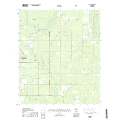 2018 Afeman2018 Print · USGSThe borderlands of Vernon and Rapides Parishes are shown in the late 2010s, capturing a landscape where the Kisatchie National Forest meets Fort Polk. Genealogists can trace local roots at Mount Moriah Cem and the Doyle Cem or follow old timber routes like Lonzie Doyle Rd.
 - 2020 Map of Afeman, 2020 Print
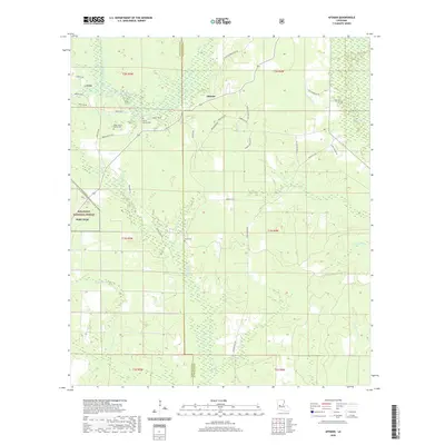 2020 Afeman2020 Print · USGSThe intersection of Vernon and Rapides Parishes is captured here just before the new decade, showing a landscape defined by forestry and military lands. Researchers can trace local lineage through family-named landmarks like Doyle Cemetery and Lonzie Doyle Rd.
 - 2024 Map of Afeman, 2024 Print
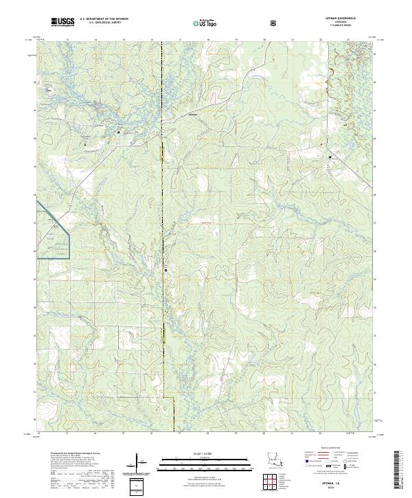 2024 Afeman2024 Print · USGSRapides and Vernon Parishes come together in this modern survey of the Louisiana pine woods. Researchers can trace family history at Mount Moriah Cem or locate the quiet settlements of Cora and Afeman along the parish line.
End of results
Showing maps 1-12 of 12
Top cities near Afeman
Frequently asked questions
- What are the different types of historical maps available for Afeman?
- What is the oldest map of Afeman?
- Where can I purchase historical maps of Afeman for my home or office?
- Where can I download high-res historical maps of Afeman?
- Are there historical topographic maps available for Afeman?
- Is there historical aerial imagery available for Afeman?
- Where are historical maps of Afeman sourced from?