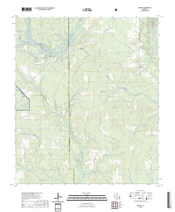
2024 Map of Afeman
USGS Topo · Published 2024About this map
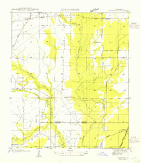
Mount Moriah Cem and Upper Mount Moriah Cem sit on the western edge of this central Louisiana landscape, marking the small community of Cora and the surrounding timberlands. The border between Vernon Parish and Rapides Parish bisects the terrain, which is defined by an intricate network of waterways including Tenmile Creek and Big Creek. This drainage pattern supports the dense wooded environment of the Kisatchie National Forest, which covers a significant portion of the western sheet.
Find a feature on this map
52 named features on this map. Tap any name to fly to it.
Don’t see what you’re looking for? This feature index may not catch every label — zoom into the map to look around manually.
Map Details
Editions of this 2024 Afeman Map
This is the sole edition of this map. No revisions or reprints were ever made.
Other maps of this area
1935 · Pawnee
USGS Topo · 1:31,680
1942 · Oakdale
USGS Topo · 1:62,500
1943 · Leander
USGS Topo · 1:62,500
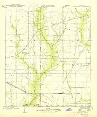
1947 · Steep Gully
USGS Topo · 1:31,680
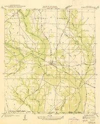
1947 · Pitkin
USGS Topo · 1:31,680
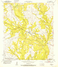
1951 · Pitkin
USGS Topo · 1:24,000
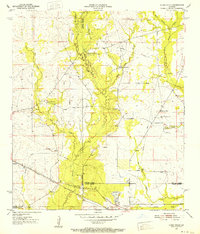
1951 · Steep Gully
USGS Topo · 1:24,000

1952 · Lake Charles
USGS Topo · 1:250,000

1953 · Alexandria
USGS Topo · 1:250,000
1954 · Pawnee
USGS Topo · 1:31,680