2000s (21st Century) Maps of Longleaf, Louisiana
Explore 6 historic maps of Longleaf from the 2000s (21st Century). These maps offer a rare glimpse into what life looked like during the 2000s — showing old roads, neighborhoods, homes, and landmarks that have changed or disappeared over time.
Whether you're researching your family's past, planning a metal detecting trip, or studying how Longleaf's landscape evolved across the 2000s, these high-resolution maps are a powerful tool for exploring the history of this region.
- Focus on a specific era: All maps on this page are from the 2000s, giving you a focused view of this time period.
- See what’s changed: Compare century-old streets, trails, and buildings to today's modern landscape using overlays and satellite layers.
- Research with precision: Use these maps for genealogy, historical research, land use analysis, or educational projects.
- View, download, or print: Maps are fully viewable online in high resolution, and can be downloaded or printed for your own records.
Start exploring Longleaf's history through authentic maps from the 2000s. This is your window into the past.
Longleaf, LA maps
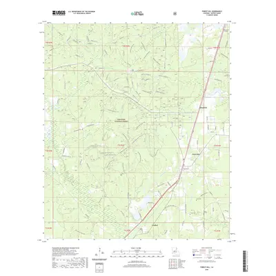
(6)- 2003 Map of Forest Hill, 2005 Print
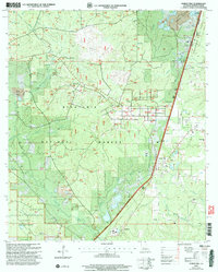 2003 Forest Hill2005 Print · USGSThe pine forests of Rapides Parish come alive in this map, showing the intersection of Kisatchie National Forest and the timber-focused settlement of Longleaf. Researchers can trace rural life through landmarks like Amiable Ch, Liberty Hill Cem, and the Drag Strip.
 - 2012 Map of Forest Hill, 2012 Print
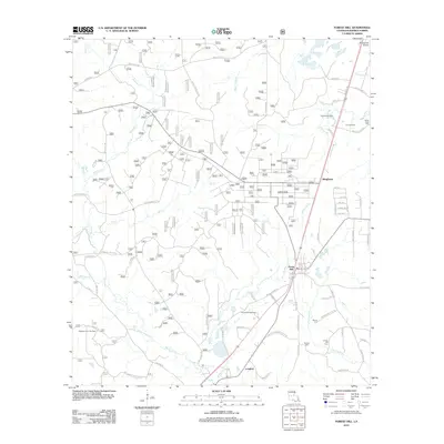 2012 Forest Hill2012 Print · USGSCovers Longleaf, including Forest Hill, Bringhurst, and other nearby areas
 - 2015 Map of Forest Hill, 2015 Print
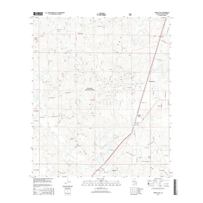 2015 Forest Hill2015 Print · USGSCovers Longleaf, including Forest Hill, Bringhurst, and other nearby areas
 - 2018 Map of Forest Hill, 2018 Print
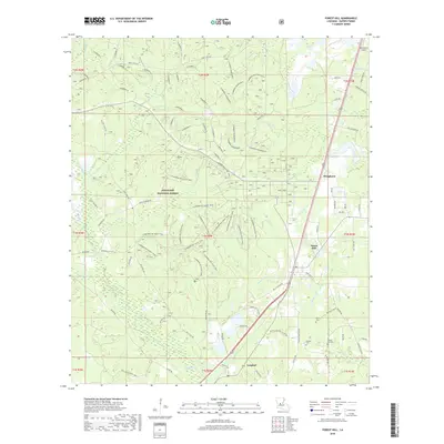 2018 Forest Hill2018 Print · USGSCovers Longleaf, including Forest Hill, Bringhurst, and other nearby areas
 - 2020 Map of Forest Hill, 2020 Print
 2020 Forest Hill2020 Print · USGSCovers Longleaf, including Forest Hill, Bringhurst, and other nearby areas
 - 2024 Map of Forest Hill, 2024 Print
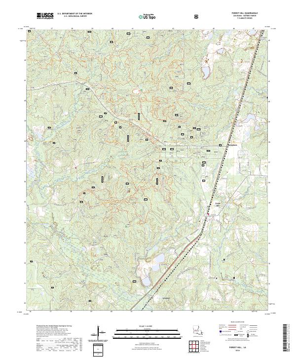 2024 Forest Hill2024 Print · USGSForest Hill and the surrounding pine woods of central Louisiana are documented here in the early twenty-first century. Genealogists and local researchers can trace family landmarks like Moore Cem, locate the small settlement of Longleaf, or follow the Claiborne Boy Scout Trl through the woods.
End of results
Showing maps 1-6 of 6
Top cities near Longleaf
- Alexandria historical maps
- Oakdale historical maps
- Glenmora historical maps
- Lecompte historical maps
- Pine Prairie historical maps
- Woodworth historical maps
See more
Frequently asked questions
- What are the different types of historical maps available for Longleaf?
- What is the oldest map of Longleaf?
- Where can I purchase historical maps of Longleaf for my home or office?
- Where can I download high-res historical maps of Longleaf?
- Are there historical topographic maps available for Longleaf?
- Is there historical aerial imagery available for Longleaf?
- Where are historical maps of Longleaf sourced from?