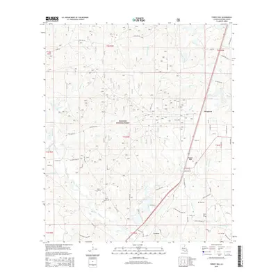
2015 Map of Forest Hill
USGS Topo · Published 2015About this map
The Kisatchie National Forest covers much of this landscape in southern Rapides Parish, characterized by a dense network of creeks including Roaring Cr, Germany Cr, and Campground Cr. The settlement of Forest Hill sits along the eastern rail and highway corridor, serving as a focal point for the surrounding rural area. Further north, the small community of Bringhurst is situated near the upper reaches of Indian Creek.
Find a feature on this map
57 named features on this map. Tap any name to fly to it.
Don’t see what you’re looking for? This feature index may not catch every label — zoom into the map to look around manually.
Map Details
Editions of this 2015 Forest Hill Map
This is the sole edition of this map. No revisions or reprints were ever made.
Other maps of this area
1935 · Pawnee
USGS Topo · 1:31,680
1935 · Turkey Creek
USGS Topo · 1:62,500
1935 · Lecompte
USGS Topo · 1:62,500
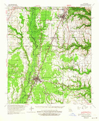
1942 · Oakdale
USGS Topo · 1:62,500
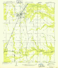
1949 · Glenmora
USGS Topo · 1:31,680
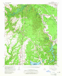
1949 · Turkey Creek
USGS Topo · 1:62,500

1952 · Lake Charles
USGS Topo · 1:250,000

1953 · Alexandria
USGS Topo · 1:250,000
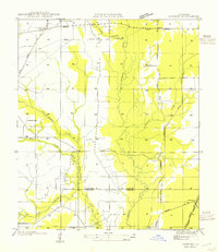
1954 · Pawnee
USGS Topo · 1:31,680

1954 · Lake Charles
USGS Topo · 1:250,000