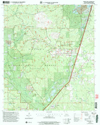
2003 Map of Forest Hill
USGS Topo · Published 2005About this map
Forest management and recreational infrastructure dominate this portion of Rapides Parish, where the managed pine stands of Kisatchie National Forest and Alexander State Forest converge. The landscape is deeply influenced by timber research and industry, featuring the Palustris Experimental Forest (Longleaf Tract) and the settlement of Longleaf. This area is characterized by a dense network of forest roads and small creek drainages, including Spring Creek and Perkins Creek, which supported early regional development.
Find a feature on this map
34 named features on this map. Tap any name to fly to it.
Don’t see what you’re looking for? This feature index may not catch every label — zoom into the map to look around manually.
Map Details
Editions of this 2003 Forest Hill Map
This is the sole edition of this map. No revisions or reprints were ever made.
Other maps of this area

1935 · Pawnee
USGS Topo · 1:31,680

1935 · Turkey Creek
USGS Topo · 1:62,500

1935 · Lecompte
USGS Topo · 1:62,500

1942 · Oakdale
USGS Topo · 1:62,500

1949 · Glenmora
USGS Topo · 1:31,680

1949 · Turkey Creek
USGS Topo · 1:62,500

1952 · Lake Charles
USGS Topo · 1:250,000

1953 · Alexandria
USGS Topo · 1:250,000
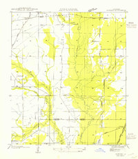
1954 · Pawnee
USGS Topo · 1:31,680

1954 · Lake Charles
USGS Topo · 1:250,000