Old Maps of Pineville Junction, Pineville for Academic Research
Study the evolution of Pineville Junction with 13 high-resolution historic maps. Whether you're teaching, researching, or modeling changes in land use, these maps provide essential visual documentation of urban, environmental, and geographic change.
- Analyze long-term change: Track patterns in development, transportation, and natural features.
- Ideal for environmental or urban studies: Support academic projects with primary historical map data.
- Use in the classroom or lab: Educators and researchers rely on these maps to bring historical context to life.
These maps are a powerful tool for teaching, research, and visualizing how Pineville Junction has changed over the decades.
Pineville Junction, Pineville maps
(13)- 1941 Map of Alexandria, 1944 Print
 1941 Alexandria1944 Print · USGSRapides and Grant Parishes are captured here in the early 1940s as massive military training grounds expanded alongside established rail towns. Trace the footprints of Camp Livingston and Camp Beauregard or locate local landmarks like the Philadelphia Ch and Kolin.
 - 1953 Map of Alexandria, 1963 Print
 1953 Alexandria1963 Print · USGSCentral Louisiana during the early fifties is mapped here at the intersection of the piney woods and the Red River valley. Genealogists and historians can trace the rail-and-river network connecting towns like Alexandria, Natchitoches, and the grounds of Camp Beauregard.3 unique versions available
 - 1955 Map of Alexandria
 1955 Alexandria1955 Print · USGSCentral Louisiana in the mid-fifties is a landscape of river-port cities, sprawling timberlands, and massive military reservations. Genealogists and historians can trace the rail networks of the Texas & Pacific RR and locate sites like Camp Polk Military Reservation and Natchitoches.
 - 1957 Map of Alexandria, 1958 Print
 1957 Alexandria1958 Print · USGSThe Red River valley in the late fifties shows the post-war growth of Alexandria and Pineville amidst a landscape of military and state institutions. Genealogists and historians can locate dozens of neighborhood schools, cemeteries like Sardis Cem, and the early layout of Camp Beauregard.2 unique versions available
 - 1957 Map of Alexandria, 1958 Print
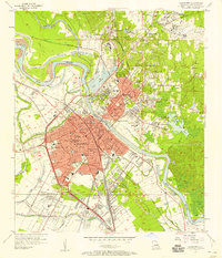 1957 Alexandria1958 Print · USGSAlexandria and Pineville sit at a major rail and river crossroads during the late fifties, serving as a hub for military and state institutions. Genealogists can trace family roots at the Alexandria National Cem or locate historic campuses like Louisiana College and Bolton High Sch.2 unique versions available
 - 1972 Map of Alexandria, 1974 Print
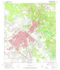 1972 Alexandria1974 Print · USGSAlexandria and Pineville sit at a major rail and river crossroads in the early seventies, just as the urban landscape was maturing. Local historians can trace the footprints of Camp Beauregard, the VA Hospital, and family-named landmarks like Pierson Lake and Lee Heights.4 unique versions available
 - 1986 Map of Alexandria
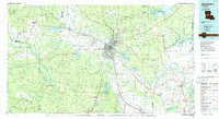 1986 Alexandria1986 Print · USGSCentral Louisiana in the mid-eighties shows a landscape of strategic military installations and deep river-valley agriculture. Researchers can trace the footprints of England Air Force Base, Camp Beauregard, and the extensive Kisatchie National Forest.2 unique versions available
 - 1998 Map of Alexandria, 2001 Print
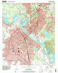 1998 Alexandria2001 Print · USGSAlexandria and Pineville sit at a vital crossing of the Red River during the late twentieth century. Genealogists and historians can trace neighborhood development through numerous local schools and landmarks like the Alexandria National Cem and Camp Beauregard.
 - 2012 Map of Alexandria, 2012 Print
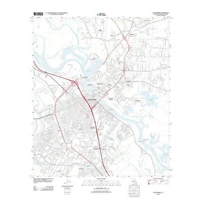 2012 Alexandria2012 Print · USGSThe twin cities of Alexandria and Pineville are captured in the early 2010s as they flank the Red River. Genealogists and historians can locate numerous sites including the Alexandria National Cem, Camp Beauregard, and Fort Randolph.
 - 2015 Map of Alexandria, 2015 Print
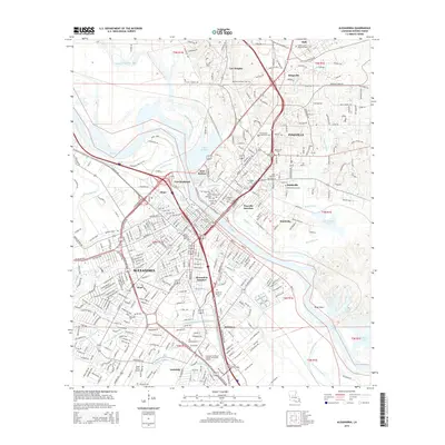 2015 Alexandria2015 Print · USGSAlexandria and Pineville dominate this riverfront landscape along the Red River in the mid-2010s. Researchers can trace local history through dozens of named sites, from the defensive earthworks of Fort Buhlow to Anandale Cem and the Bnai Israel Cem.
 - 2018 Map of Alexandria, 2018 Print
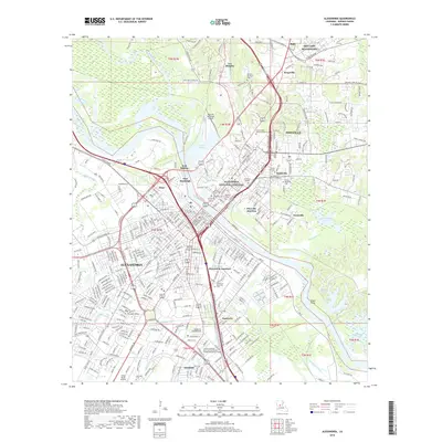 2018 Alexandria2018 Print · USGSAlexandria and Pineville are shown in detail during the late 2010s, centered on their historic river crossing and military surroundings. Researchers can locate family sites across numerous cemeteries or trace the footprints of SMR Camp Beauregard and Fort Buhlow.
 - 2021 Map of Alexandria, 2021 Print
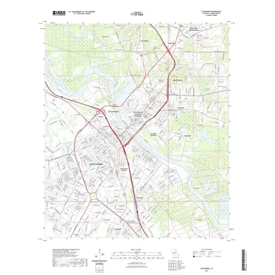 2021 Alexandria2021 Print · USGSThe Red River valley in the early 2020s shows a dense landscape of civic history and military heritage. Trace local roots through sites like the Alexandria National Cemetery, Louisiana College, and SMR Camp Beauregard.
 - 2024 Map of Alexandria, 2024 Print
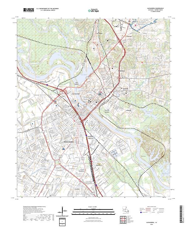 2024 Alexandria2024 Print · USGSThe Red River valley at Alexandria and Pineville is shown here in the contemporary era, anchored by its deep military and civic history. Researchers can trace the grounds of Camp Beauregard, locate Alexandria National Cem, and identify old neighborhoods like Samtown and Kingsville.
End of results
Showing maps 1-13 of 13
Top cities near Pineville Junction
- Alexandria historical maps
- Pineville historical maps
- Ball historical maps
- Lecompte historical maps
- Woodworth historical maps
- Pollock historical maps
Frequently asked questions
- What are the different types of historical maps available for Pineville Junction?
- What is the oldest map of Pineville Junction?
- Where can I purchase historical maps of Pineville Junction for my home or office?
- Where can I download high-res historical maps of Pineville Junction?
- Are there historical topographic maps available for Pineville Junction?
- Is there historical aerial imagery available for Pineville Junction?
- Where are historical maps of Pineville Junction sourced from?