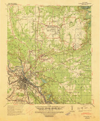
1941 Map of Alexandria
USGS Topo · Published 1944About this map
Military mobilization and institutional development define the landscape north of the Red River during the early 1940s. The massive footprints of Camp Livingston and Camp Beauregard dominate the pine forests of the Kisatchie National Forest, reflecting the area's strategic importance for training during the war years. These sprawling cantonments, complete with an Airport and extensive range areas, sit adjacent to established railroad-oriented settlements like Tioga and Pineville.
Find a feature on this map
86 named features on this map. Tap any name to fly to it.
Don’t see what you’re looking for? This feature index may not catch every label — zoom into the map to look around manually.
Map Details
Editions of this 1941 Alexandria Map
This is the sole edition of this map. No revisions or reprints were ever made.
Other maps of this area
1932 · Boyce NE
USGS Topo · 1:31,680
1932 · Colfax SE
USGS Topo · 1:31,680
1935 · Lecompte
USGS Topo · 1:62,500
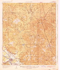
1936 · Colfax
USGS Topo · 1:62,500
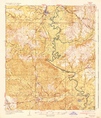
1936 · Pollock
USGS Topo · 1:62,500
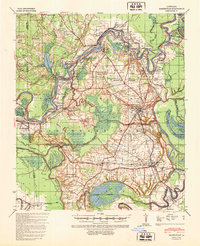
1940 · Marksville
USGS Topo · 1:62,500
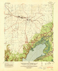
1941 · Jena
USGS Topo · 1:62,500
1941 · Buckeye
USGS Topo · 1:62,500
1941 · Pollock
USGS Topo · 1:62,500
1941 · Boyce
USGS Topo · 1:62,500