Old Maps of Poland, Louisiana for Hiking & Exploration
Hike through history with 11 historic maps of Poland. Explore old trails, ghost towns, and forgotten backroads — perfect for outdoor adventurers and local explorers.
- Rediscover forgotten places: Map out old mining camps, roads, and footpaths that no longer exist on modern maps.
- Layer with modern tools: Combine with LiDAR or satellite views to plan hikes through historical terrain.
- Made for exploration: Popular among hikers, overlanders, and local history lovers.
Use these maps to find adventure and explore the hidden past of Poland.
Poland, LA maps
(11)- 1935 Map of Lecompte, 1949 Print
 1935 Lecompte1949 Print · USGSThe Red River valley south of Alexandria comes into focus in the mid-1930s, showing a landscape defined by meandering bayous and critical rail lines. Genealogists can locate family landmarks like Spring Hill Cem, St Johns Ch, and the town of Cheneyville.
 - 1953 Map of Alexandria, 1963 Print
 1953 Alexandria1963 Print · USGSCentral Louisiana during the early fifties is mapped here at the intersection of the piney woods and the Red River valley. Genealogists and historians can trace the rail-and-river network connecting towns like Alexandria, Natchitoches, and the grounds of Camp Beauregard.3 unique versions available
 - 1955 Map of Alexandria
 1955 Alexandria1955 Print · USGSCentral Louisiana in the mid-fifties is a landscape of river-port cities, sprawling timberlands, and massive military reservations. Genealogists and historians can trace the rail networks of the Texas & Pacific RR and locate sites like Camp Polk Military Reservation and Natchitoches.
 - 1957 Map of Lecompte, 1958 Print
 1957 Lecompte1958 Print · USGSCentral Louisiana in the mid-fifties reveals a landscape defined by the intricate winding of Bayou Boeuf and the fertile grounds of Bench Slough Plantation. Researchers can trace the heritage of local communities through landmarks like Lecompte Sch, Wise Cem, and the tracks of the Rock Island and Pacific RR.3 unique versions available
 - 1972 Map of Latanier, 1974 Print
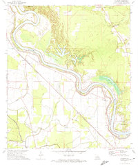 1972 Latanier1974 Print · USGSRapides Parish in the early 1970s shows a landscape deeply tied to the meanders of the Red River. Researchers can trace old rural communities like Latanier and Poland, alongside landmarks like Riverview Church and the Ruby Lookout Tower.2 unique versions available
 - 1986 Map of Alexandria
 1986 Alexandria1986 Print · USGSCentral Louisiana in the mid-eighties shows a landscape of strategic military installations and deep river-valley agriculture. Researchers can trace the footprints of England Air Force Base, Camp Beauregard, and the extensive Kisatchie National Forest.2 unique versions available
 - 2012 Map of Latanier, 2012 Print
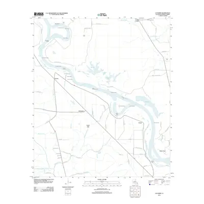 2012 Latanier2012 Print · USGSThe riverfront landings and bayous of Rapides Parish are recorded here in the early twenty-first century. Researchers can trace historic river access points like Latanier Landing and Jones Quarters Landing or locate family sites at Peart Cem and Wise Cem.
 - 2015 Map of Latanier, 2015 Print
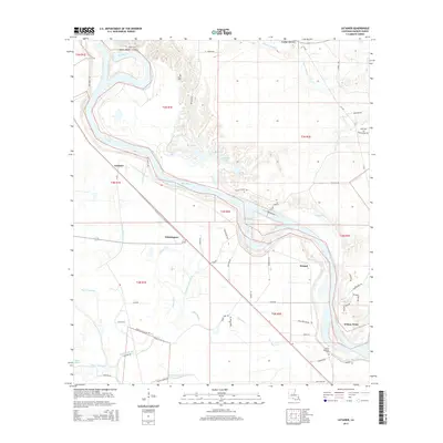 2015 Latanier2015 Print · USGSThe alluvial plains of Rapides Parish come alive in the mid-2010s, showcasing a landscape defined by the winding Red River. Genealogists and local researchers can trace family landmarks and rural life at Whittington, Mount Pleasant Cem, and Wilson Point.
 - 2018 Map of Latanier, 2018 Print
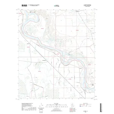 2018 Latanier2018 Print · USGSRapides Parish river life is on display in this modern survey of the bottomlands south of Alexandria. Researchers can trace family roots through Peart Cem or locate old river landings near Poland, Wilson Point, and Cedar Grove.
 - 2020 Map of Latanier, 2020 Print
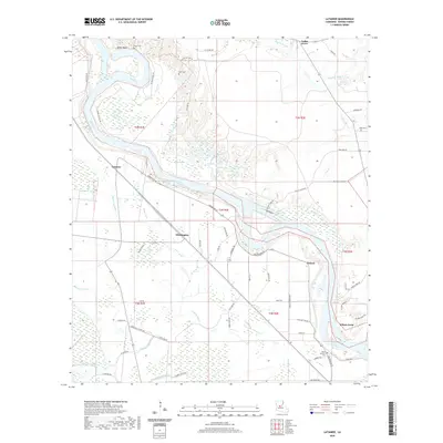 2020 Latanier2020 Print · USGSRapides Parish comes to life in the early twenty-first century as a land shaped by the winding Red River. Researchers can trace family history through sites like Peart Cem and Wise Cem or locate old riverfront settlements such as Poland and Wilson Point.
 - 2024 Map of Latanier, 2024 Print
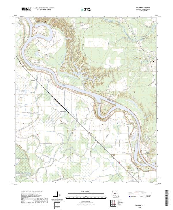 2024 Latanier2024 Print · USGSRapides Parish river life is on display in this contemporary look at the Red River valley south of Alexandria. Genealogists and local historians can trace family-named sites like Mount Pleasant Cem and early river crossings at Harris Ferry and Wilsons Ferry.
End of results
Showing maps 1-11 of 11
Top cities near Poland
- Alexandria historical maps
- Pineville historical maps
- Marksville historical maps
- Bunkie historical maps
- Ball historical maps
- Cottonport historical maps
See more
Frequently asked questions
- What are the different types of historical maps available for Poland?
- What is the oldest map of Poland?
- Where can I purchase historical maps of Poland for my home or office?
- Where can I download high-res historical maps of Poland?
- Are there historical topographic maps available for Poland?
- Is there historical aerial imagery available for Poland?
- Where are historical maps of Poland sourced from?