Old Maps of Ruby, Louisiana for Hiking & Exploration
Hike through history with 12 historic maps of Ruby. Explore old trails, ghost towns, and forgotten backroads — perfect for outdoor adventurers and local explorers.
- Rediscover forgotten places: Map out old mining camps, roads, and footpaths that no longer exist on modern maps.
- Layer with modern tools: Combine with LiDAR or satellite views to plan hikes through historical terrain.
- Made for exploration: Popular among hikers, overlanders, and local history lovers.
Use these maps to find adventure and explore the hidden past of Ruby.
Ruby, LA maps
(12)- 1940 Map of Marksville, 1943 Print
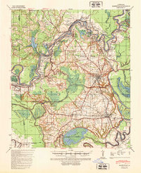 1940 Marksville1943 Print · USGSAvoyelles Parish life in the early 1940s is centered on the river-and-rail economy of the Red River valley. Genealogists and historians can trace family locations through numerous named churches and schools, such as Hickory Hill Sch, Vick, and the St Paul Ch & Cem.2 unique versions available
 - 1953 Map of Alexandria, 1963 Print
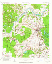
 1953 Alexandria1963 Print · USGSCentral Louisiana during the early fifties is mapped here at the intersection of the piney woods and the Red River valley. Genealogists and historians can trace the rail-and-river network connecting towns like Alexandria, Natchitoches, and the grounds of Camp Beauregard.3 unique versions available
 - 1955 Map of Alexandria
 1955 Alexandria1955 Print · USGSCentral Louisiana in the mid-fifties is a landscape of river-port cities, sprawling timberlands, and massive military reservations. Genealogists and historians can trace the rail networks of the Texas & Pacific RR and locate sites like Camp Polk Military Reservation and Natchitoches.
 - 1962 Map of Marksville, 1964 Print
 1962 Marksville1964 Print · USGSAvoyelles Parish in the early sixties remains a landscape shaped by river bends and rail lines before the modern highway era. Genealogists and historians can trace family locations near St Pauls Ch, Waddill Cem, and the historic Indian Mounds outside Marksville.3 unique versions available
 - 1983 Map of Effie
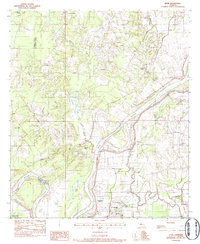 1983 Effie1983 Print · USGSAvoyelles and Rapides Parishes are shown in the early 1980s as a patchwork of bayous and small settlements along the Red River. Local historians can trace family roots at Pierce Cem, St Winifred Ch, and the rural center of Effie.
 - 1986 Map of Alexandria
 1986 Alexandria1986 Print · USGSCentral Louisiana in the mid-eighties shows a landscape of strategic military installations and deep river-valley agriculture. Researchers can trace the footprints of England Air Force Base, Camp Beauregard, and the extensive Kisatchie National Forest.2 unique versions available
 - 1993 Map of Effie
 1993 Effie1993 Print · USGSAvoyelles and Rapides Parishes are shown in the early nineties as the Red River shapes the local landscape and culture. Genealogists and researchers can trace family landmarks like Pierce Cem, Hays Chapel, and the community of Fifth Ward along the river's southern banks.
 - 2012 Map of Effie, 2012 Print
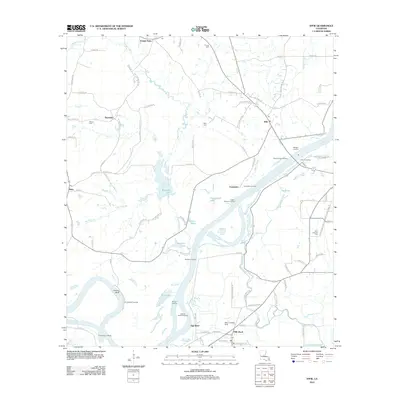 2012 Effie2012 Print · USGSCovers Ruby, including Center Point, Cassandra, and other nearby areas
 - 2015 Map of Effie, 2015 Print
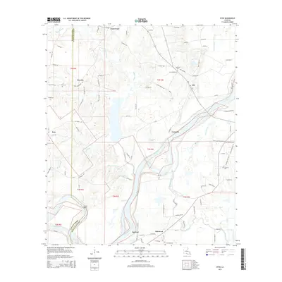 2015 Effie2015 Print · USGSCovers Ruby, including Center Point, Cassandra, and other nearby areas
 - 2018 Map of Effie, 2018 Print
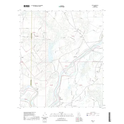 2018 Effie2018 Print · USGSCovers Ruby, including Center Point, Cassandra, and other nearby areas
 - 2020 Map of Effie, 2020 Print
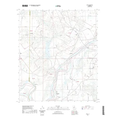 2020 Effie2020 Print · USGSCovers Ruby, including Center Point, Cassandra, and other nearby areas
 - 2024 Map of Effie, 2024 Print
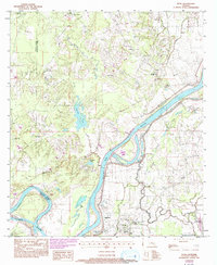
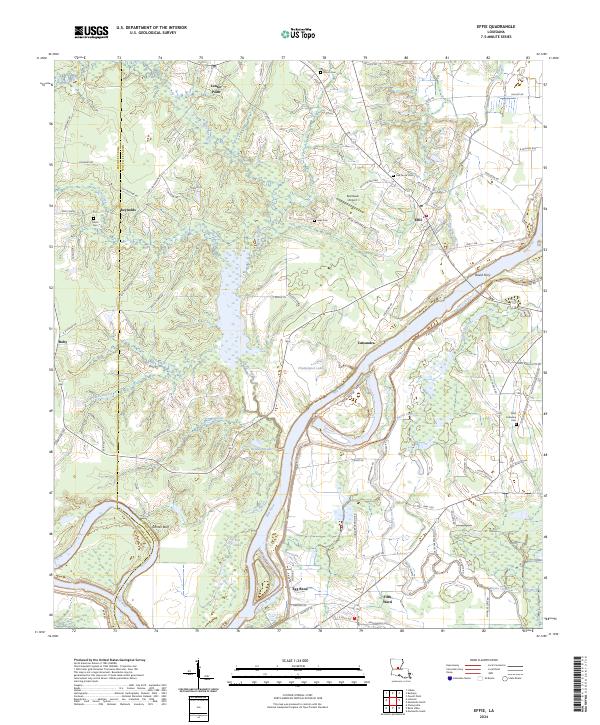 2024 Effie2024 Print · USGSCentral Louisiana's river country comes into focus here, showing the intricate floodplain where the Red River meets Grand Cote National Wildlife Refuge. Locate old family landmarks like Oak Grove Cem or trace the river's path from Grimes Bluff to David Ferry.
End of results
Showing maps 1-12 of 12
Top cities near Ruby
- Alexandria historical maps
- Pineville historical maps
- Marksville historical maps
- Bunkie historical maps
- Ball historical maps
- Cottonport historical maps
See more
Frequently asked questions
- What are the different types of historical maps available for Ruby?
- What is the oldest map of Ruby?
- Where can I purchase historical maps of Ruby for my home or office?
- Where can I download high-res historical maps of Ruby?
- Are there historical topographic maps available for Ruby?
- Is there historical aerial imagery available for Ruby?
- Where are historical maps of Ruby sourced from?