Old Maps of Weil, Louisiana for Genealogy
Trace your family roots with 14 historic maps of Weil. These high-res maps reveal old neighborhoods, homesites, landmarks, and streets — helping you uncover where your ancestors lived and how the area evolved over time.
- Explore historic neighborhoods: Identify where your relatives may have lived in the 1800s or 1900s.
- Compare maps over time: Trace the changes in streets, buildings, and landmarks for multi-generational research.
- Perfect for genealogy & ancestry research: Used by family historians and researchers to map out lineage and migration.
These maps are an incredible resource for exploring your personal connection to Weil's past.
Weil, LA maps
(14)- 1941 Map of Boyce, 1945 Print
 1941 Boyce1945 Print · USGSRapides Parish was a landscape of river plantations and pine forests in the early 1940s. Genealogists and historians can locate numerous rural landmarks like Hotwells, Fairmount Plantation, and the Israelite Ch Sch & Cem along the Red River.2 unique versions available
 - 1945 Map of Boyce SE
 1945 Boyce SE1945 Print · USGSRapides Parish during the mid-forties reveals a landscape defined by its complex waterways and early transportation routes. Researchers can locate vanished landmarks and family sites near Evening Star Ch, Rapides Sch, and along the Texas and Pacific Railroad Grade.
 - 1949 Map of Boyce SE
 1949 Boyce SE1949 Print · USGSRapides Parish at the end of the 1940s is a landscape of winding bayous and rural schools. Researchers can trace the legacy of local communities through landmarks like Evening Star Ch, Rapides Sch, and the Red River floodplain.
 - 1953 Map of Alexandria, 1963 Print
 1953 Alexandria1963 Print · USGSCentral Louisiana during the early fifties is mapped here at the intersection of the piney woods and the Red River valley. Genealogists and historians can trace the rail-and-river network connecting towns like Alexandria, Natchitoches, and the grounds of Camp Beauregard.3 unique versions available
 - 1955 Map of Alexandria
 1955 Alexandria1955 Print · USGSCentral Louisiana in the mid-fifties is a landscape of river-port cities, sprawling timberlands, and massive military reservations. Genealogists and historians can trace the rail networks of the Texas & Pacific RR and locate sites like Camp Polk Military Reservation and Natchitoches.
 - 1956 Map of Boyce, 1957 Print
 1956 Boyce1957 Print · USGSLouisiana's Red River valley in the mid-fifties reveals a landscape transitioning from traditional rail-and-river commerce to a burgeoning military presence. Trace family roots through dozens of rural sites like Hotwells, the Second Evening Star Ch, and Lacour Cem.3 unique versions available
 - 1972 Map of Rapides, 1973 Print
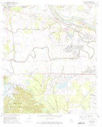 1972 Rapides1973 Print · USGSThe Red River valley in the early seventies shows a landscape of military expansion and hydraulic engineering. Trace the growth of England Air Force Base alongside historic sites like the Central Louisiana State Hospital and St Matthews Cem.3 unique versions available
 - 1986 Map of Alexandria
 1986 Alexandria1986 Print · USGSCentral Louisiana in the mid-eighties shows a landscape of strategic military installations and deep river-valley agriculture. Researchers can trace the footprints of England Air Force Base, Camp Beauregard, and the extensive Kisatchie National Forest.2 unique versions available
 - 2003 Map of Rapides, 2005 Print
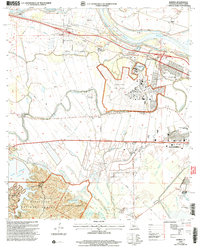 2003 Rapides2005 Print · USGSThe Red River valley and the eastern edge of the Kisatchie National Forest meet in this early 2000s survey of central Louisiana. Researchers can locate community anchors like First Evening Star Ch, trace the expansion of England Air Park, and explore the recreational shoreline of Kincaid Reservoir.
 - 2012 Map of Rapides, 2012 Print
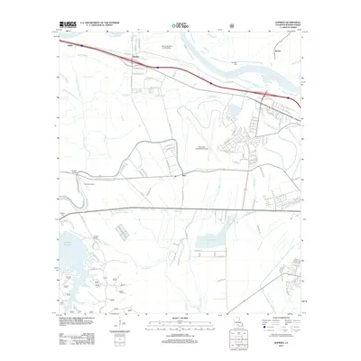 2012 Rapides2012 Print · USGSAlexandria and the surrounding Rapides Parish lowlands are captured here in the early twenty-first century, showing a landscape shaped by river and rail. Local historians can trace old community ties through sites like Newlight Cem, Kincaid Bridge, and the settlement of Weil.
 - 2015 Map of Rapides, 2015 Print
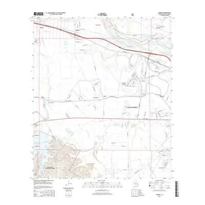 2015 Rapides2015 Print · USGSAlexandria and the Central Louisiana bayous are shown during a period of modern growth in the mid-2010s. Researchers can trace land patterns from the Red River to the Kisatchie National Forest, locating landmarks like Newlight Cem and Weil.
 - 2018 Map of Rapides, 2018 Print
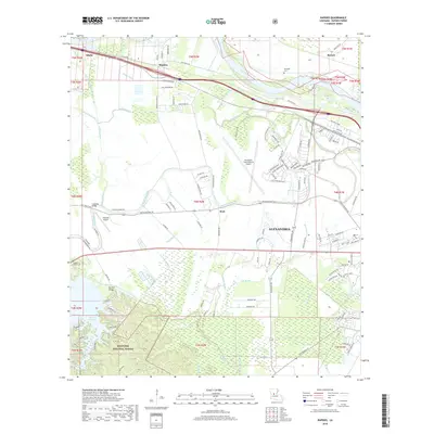 2018 Rapides2018 Print · USGSAlexandria and the Kisatchie National Forest are shown in the late 2010s, where the city meets the bayous and pine hills. Genealogists and researchers can locate Newlight Cem, Belgard Cem, and various bayou crossings like Lamothe Bridge.
 - 2020 Map of Rapides, 2020 Print
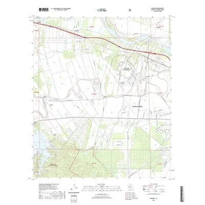 2020 Rapides2020 Print · USGSLouisiana's bayou country meets the growing infrastructure of Rapides Parish in this recent survey. Local historians can trace the transition from Kisatchie National Forest wilds to landmarks like Newlight Cem and Lamothe Bridge.
 - 2024 Map of Rapides, 2024 Print
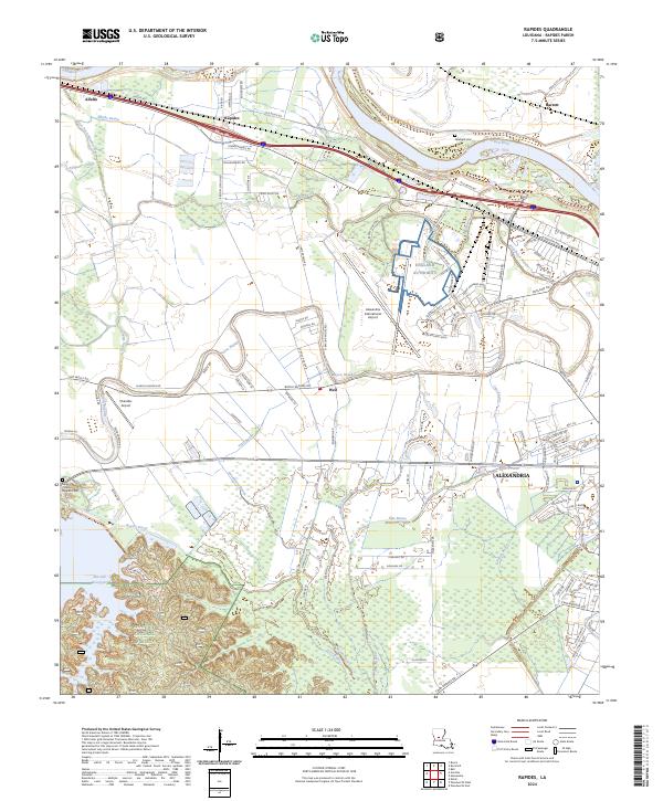 2024 Rapides2024 Print · USGSThe northwestern outskirts of Alexandria come into focus in the 2020s, showing a landscape defined by the Red River and the expansive England Authority. Researchers can trace old family sites at Sibley Flournoy Belgard Cem or explore the rural reaches of Alfalfa and Rapides.
End of results
Showing maps 1-14 of 14
Top cities near Weil
- Alexandria historical maps
- Pineville historical maps
- Ball historical maps
- Colfax historical maps
- Lecompte historical maps
- Boyce historical maps
See more
Frequently asked questions
- What are the different types of historical maps available for Weil?
- What is the oldest map of Weil?
- Where can I purchase historical maps of Weil for my home or office?
- Where can I download high-res historical maps of Weil?
- Are there historical topographic maps available for Weil?
- Is there historical aerial imagery available for Weil?
- Where are historical maps of Weil sourced from?