1900s (20th Century) Maps of Richland Parish, Louisiana
Explore 49 historic maps of Richland Parish from the 1900s (20th Century). These maps offer a rare glimpse into what life looked like during the 1900s — showing old roads, neighborhoods, homes, and landmarks that have changed or disappeared over time.
Whether you're researching your family's past, planning a metal detecting trip, or studying how Richland Parish's landscape evolved across the 1900s, these high-resolution maps are a powerful tool for exploring the history of this region.
- Focus on a specific era: All maps on this page are from the 1900s, giving you a focused view of this time period.
- See what’s changed: Compare century-old streets, trails, and buildings to today's modern landscape using overlays and satellite layers.
- Research with precision: Use these maps for genealogy, historical research, land use analysis, or educational projects.
- View, download, or print: Maps are fully viewable online in high resolution, and can be downloaded or printed for your own records.
Start exploring Richland Parish's history through authentic maps from the 1900s. This is your window into the past.
Richland Parish, LA maps
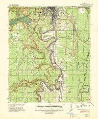
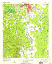
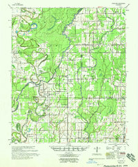
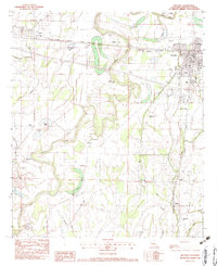
(49)- 1935 Map of Collinston
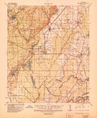 1935 Collinston1935 Print · USGSCovers Richland Parish, including Monroe, Bastrop, and other nearby areas
 - 1935 Map of Alto, 1936 Print
 1935 Alto1936 Print · USGSCovers Richland Parish, including Monroe, Rayville, and other nearby areas2 unique versions available
 - 1935 Map of Baskinton, 1936 Print
 1935 Baskinton1936 Print · USGSCovers Richland Parish, including Rayville, Delhi, and other nearby areas
 - 1935 Map of Hurricane, 1936 Print
 1935 Hurricane1936 Print · USGSCovers Richland Parish, including Bear Skin, Newhope, and other nearby areas
 - 1935 Map of Waverly, 1938 Print
 1935 Waverly1938 Print · USGSCovers Richland Parish, including Delhi, County Landing, and other nearby areas2 unique versions available
 - 1939 Map of Fort Necessity, 1941 Print
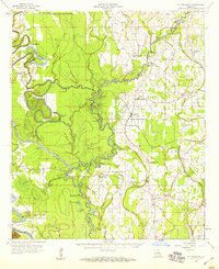
 1939 Fort Necessity1941 Print · USGSCovers Richland Parish, including Hebert, Mason, and other nearby areas
 - 1940 Map of Monroe, 1942 Print
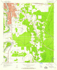
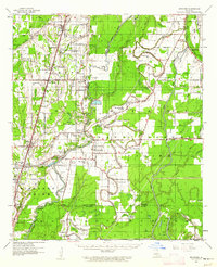
 1940 Monroe1942 Print · USGSCovers Richland Parish, including Monroe, West Monroe, and other nearby areas2 unique versions available
 - 1940 Map of Columbia, 1945 Print
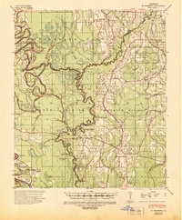
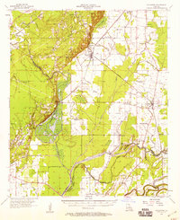
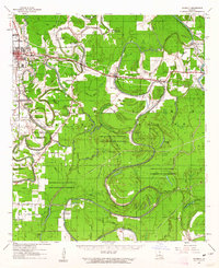
 1940 Columbia1945 Print · USGSCovers Richland Parish, including Clarks, Grayson, and other nearby areas
 - 1955 Map of Jackson
 1955 Jackson1955 Print · USGSCovers Richland Parish, including Jackson, Monroe, and other nearby areas3 unique versions available
 - 1955 Map of Shreveport
 1955 Shreveport1955 Print · USGSCovers Richland Parish, including Shreveport, Bossier City, and other nearby areas3 unique versions available
 - 1956 Map of Shreveport
 1956 Shreveport1956 Print · USGSCovers Richland Parish, including Shreveport, Bossier City, and other nearby areas
 - 1957 Map of Columbia, 1958 Print
 1957 Columbia1958 Print · USGSCovers Richland Parish, including Clarks, Grayson, and other nearby areas3 unique versions available
 - 1957 Map of Mangham, 1958 Print
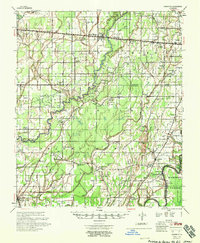
 1957 Mangham1958 Print · USGSCovers Richland Parish, including Monroe, Rayville, and other nearby areas3 unique versions available
 - 1957 Map of Monroe South, 1958 Print
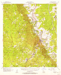
 1957 Monroe South1958 Print · USGSCovers Richland Parish, including Monroe, West Monroe, and other nearby areas5 unique versions available
 - 1957 Map of Monroe South, 1958 Print
 1957 Monroe South1958 Print · USGSCovers Richland Parish, including Monroe, West Monroe, and other nearby areas3 unique versions available
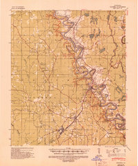
 - 1957 Map of Collinston, 1958 Print
 1957 Collinston1958 Print · USGSCovers Richland Parish, including Monroe, Bastrop, and other nearby areas3 unique versions available
 - 1958 Map of Baskinton
 1958 Baskinton1958 Print · USGSCovers Richland Parish, including Rayville, Delhi, and other nearby areas2 unique versions available
 - 1958 Map of Hurricane
 1958 Hurricane1958 Print · USGSCovers Richland Parish, including Bear Skin, Newhope, and other nearby areas
 - 1958 Map of Fort Necessity, 1959 Print
 1958 Fort Necessity1959 Print · USGSCovers Richland Parish, including Hebert, Mason, and other nearby areas3 unique versions available
 - 1959 Map of Mitchiner, 1962 Print
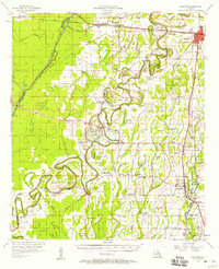
 1959 Mitchiner1962 Print · USGSCovers Richland Parish, including Epps, Pioneer, and other nearby areas2 unique versions available
 - 1961 Map of Jackson
 1961 Jackson1961 Print · USGSCovers Richland Parish, including Jackson, Monroe, and other nearby areas
 - 1961 Map of Waverly, 1963 Print
 1961 Waverly1963 Print · USGSCovers Richland Parish, including Delhi, County Landing, and other nearby areas2 unique versions available
 - 1962 Map of Jackson
 1962 Jackson1962 Print · USGSCovers Richland Parish, including Jackson, Monroe, and other nearby areas2 unique versions available
 - 1982 Map of Rayville, 1983 Print
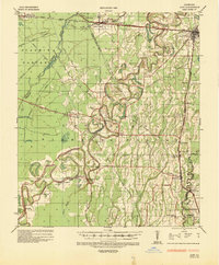
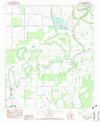
 1982 Rayville1983 Print · USGSCovers Richland Parish, including Rayville, Girard, and other nearby areas
 - 1982 Map of Gilleyville, 1983 Print
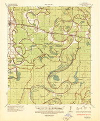
 1982 Gilleyville1983 Print · USGSCovers Richland Parish, including Gilleyville, Buckner, and other nearby areas
Showing maps 1-25 of 49
Top cities of Richland Parish
Frequently asked questions
- What are the different types of historical maps available for Richland Parish?
- What is the oldest map of Richland Parish?
- Where can I purchase historical maps of Richland Parish for my home or office?
- Where can I download high-res historical maps of Richland Parish?
- Are there historical topographic maps available for Richland Parish?
- Is there historical aerial imagery available for Richland Parish?
- Where are historical maps of Richland Parish sourced from?