2000s (21st Century) Maps of Richland Parish, Louisiana
Explore 100 historic maps of Richland Parish from the 2000s (21st Century). These maps offer a rare glimpse into what life looked like during the 2000s — showing old roads, neighborhoods, homes, and landmarks that have changed or disappeared over time.
Whether you're researching your family's past, planning a metal detecting trip, or studying how Richland Parish's landscape evolved across the 2000s, these high-resolution maps are a powerful tool for exploring the history of this region.
- Focus on a specific era: All maps on this page are from the 2000s, giving you a focused view of this time period.
- See what’s changed: Compare century-old streets, trails, and buildings to today's modern landscape using overlays and satellite layers.
- Research with precision: Use these maps for genealogy, historical research, land use analysis, or educational projects.
- View, download, or print: Maps are fully viewable online in high resolution, and can be downloaded or printed for your own records.
Start exploring Richland Parish's history through authentic maps from the 2000s. This is your window into the past.
Richland Parish, LA maps
(100)- 2012 Map of Bosco, 2012 Print
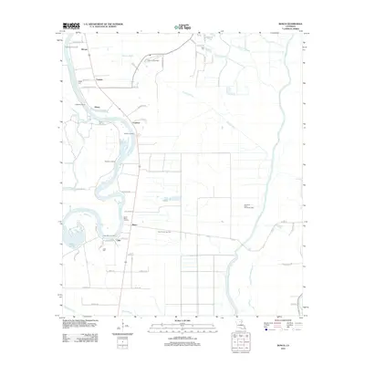 2012 Bosco2012 Print · USGSOuachita Parish as it appeared in 2012 shows a landscape of river landings and energy production. Genealogists and historians can trace the riverside settlements of Bosco, Cuba, and Logtown while locating family landmarks like Faulks Cem and Riser Cem.
 - 2012 Map of Swartz, 2012 Print
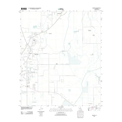 2012 Swartz2012 Print · USGSOuachita Parish shows its suburban growth and wetland geography in this early twenty-first-century survey of the Monroe area. Trace local family roots at Spring Hill Cem or explore the drainage patterns of Puckett Slough and the vast Swan Lakebed.
 - 2012 Map of Bear Skin, 2012 Print
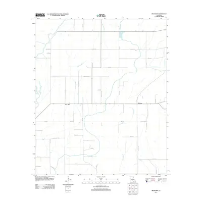 2012 Bear Skin2012 Print · USGSWest Carroll Parish in the early 2010s shows a landscape deeply tied to the Boeuf River and its network of drainage bayous. Genealogists and local historians can trace family-named routes like Bennie Fowler Rd and Alderman Rd near the settlements of Bear Skin and Newhope.
 - 2012 Map of Baskinton, 2012 Print
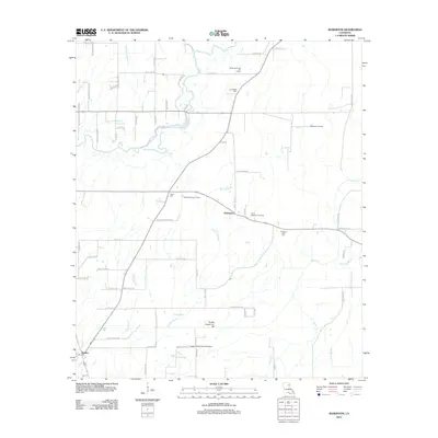 2012 Baskinton2012 Print · USGSFranklin Parish in the early 2010s shows a landscape of bayous and oil fields surrounding the settlements of Baskin and Baskinton. Genealogists and researchers can locate family landmarks such as Friendship Cemetery and Union Cemetery.
 - 2012 Map of Delhi, 2012 Print
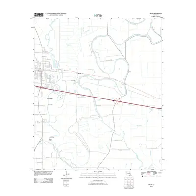 2012 Delhi2012 Print · USGSRichland Parish during the early 2010s shows a landscape of bayou landings and energy production. Researchers can trace the heritage of Delhi and Waverly while locating sites like the Delhi Oil Field, Waverly Cem, and Scott Landing.
 - 2012 Map of Crew Lake, 2012 Print
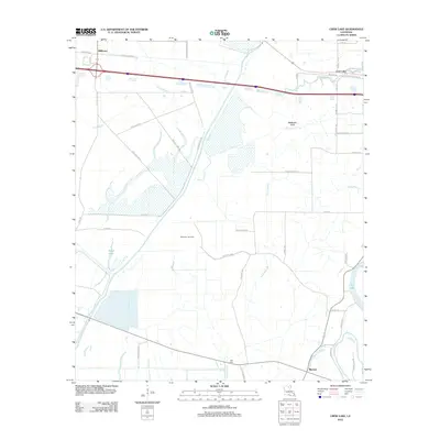 2012 Crew Lake2012 Print · USGSThe alluvial plains near Monroe were still defined by their winding bayous and gas production in the early twenty-first century. Researchers can trace the boundaries of the Millhaven Gas Field or locate the Hall Cem and the settlement at Rhymes.
 - 2012 Map of Dunn, 2012 Print
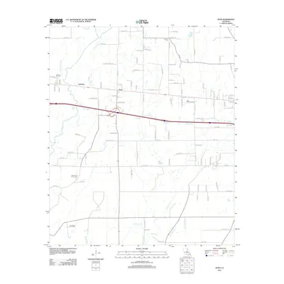 2012 Dunn2012 Print · USGSRichland Parish oil and gas operations are at their peak in this early 21st-century record of Louisiana's energy landscape. Researchers can trace the industrial footprint of the Delhi Refining Company and locate rural landmarks like Newton Cem and the settlement of Dunn.
 - 2012 Map of Rayville, 2012 Print
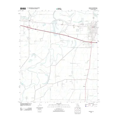 2012 Rayville2012 Print · USGSRichland Parish comes into focus during the early twenty-first century, showcasing a landscape defined by the Boeuf River and its many brakes. Genealogists and local researchers can locate several community burial sites like Love and Charity Cem and trace the rail path of the Producers Spur.
 - 2012 Map of Congo Creek, 2012 Print
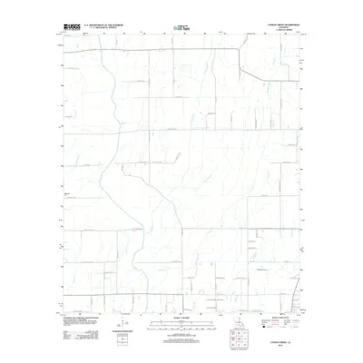 2012 Congo Creek2012 Print · USGSRichland Parish is shown here in the early twenty-first century, defined by its intricate system of bayous and rural parish roads. Genealogists and local researchers can locate McKnight Cem and trace the area's energy history at the Warden Gas Field.
 - 2012 Map of Whitney Island South, 2012 Print
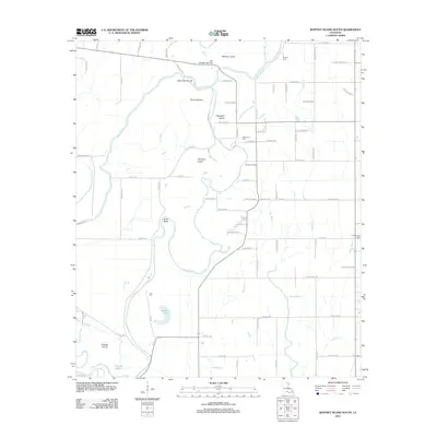 2012 Whitney Island South2012 Print · USGSMorehouse Parish at the turn of the decade is revealed here as a rich landscape of meandering bayous and isolated river islands. Researchers can locate family burial sites at Trio Cem and Shanks Cem or trace the waterways around Whitney Island and Point Jefferson.
 - 2012 Map of Hebert, 2012 Print
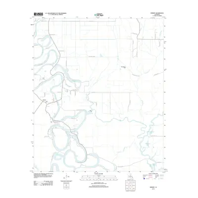 2012 Hebert2012 Print · USGSCaldwell Parish river life is captured here in the early twenty-first century as the Boeuf River winds through the landscape. Researchers can trace family sites at Hebert Cem or explore the river-driven geography of Hebert Landing and Woolen Lake.
 - 2012 Map of Irwin Lake, 2012 Print
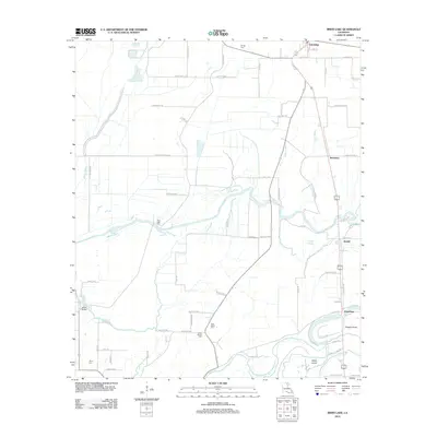 2012 Irwin Lake2012 Print · USGSMorehouse Parish in the early 2010s shows a landscape of bayous and family-named roads centered around Oak Ridge. Genealogists can trace family roots through several local burial grounds, such as James Chapel Cem, New Salem Cem, and Conger Cem.
 - 2012 Map of Whitney Island North, 2012 Print
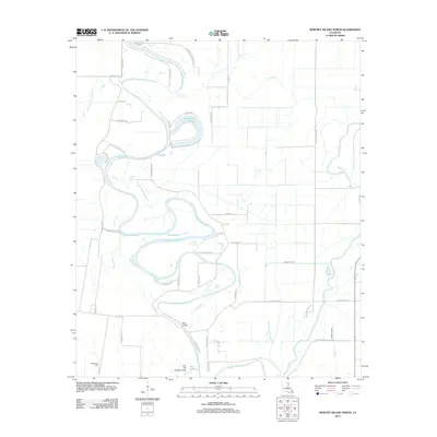 2012 Whitney Island North2012 Print · USGSMorehouse Parish at the start of the 2010s reveals a landscape dominated by the winding oxbows of Bayou Bonne Idee. Researchers can trace local family landmarks and burial sites like Wimberley Cem or follow the route to Moss Bridge.
 - 2012 Map of Gilleyville, 2012 Print
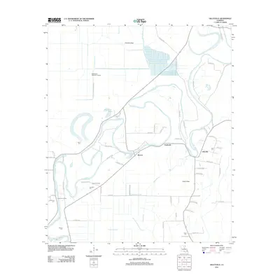 2012 Gilleyville2012 Print · USGSThe Boeuf River country comes into focus in this early twenty-first-century survey of Richland Parish. Genealogists and historians can trace the locations of family landmarks like Landerneau Landing, Buckner Gas Field, and the Pritchard Cem burial grounds.
 - 2012 Map of Mangham, 2012 Print
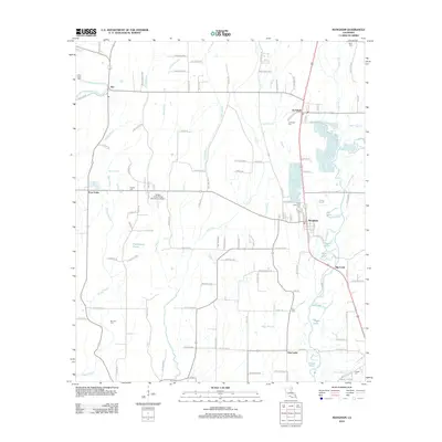 2012 Mangham2012 Print · USGSRichland Parish in the early 2010s remains a landscape of bayous and agricultural crossroads. Genealogists can trace family names through several rural burial sites, including Archibald Cem, Brunson Cem, and Gwin Memorial Cem near the town of Mangham.
 - 2012 Map of Liddieville, 2012 Print
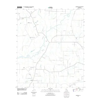 2012 Liddieville2012 Print · USGSFranklin Parish in the early 2010s reveals a rural landscape defined by family-named cemeteries and agricultural aviation. Genealogists and local historians can trace legacy sites like Simms Chapel Cem, Smith Cem, and the Goldmine Plantation Landing Strip.
 - 2012 Map of Monroe South, 2012 Print
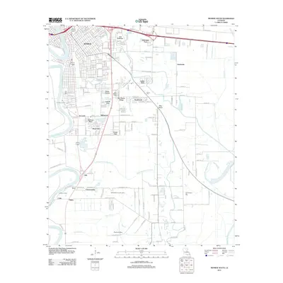 2012 Monroe South2012 Print · USGSMonroe and its southern suburbs are captured here in the early twenty-first century as the city extends toward the bayou lowlands. Researchers can locate family landmarks like New City Cem and Ballard Cem or trace the development of Richwood and Pino Bayou Village.
 - 2012 Map of Riverton, 2012 Print
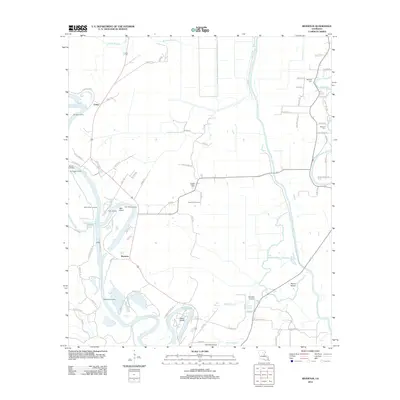 2012 Riverton2012 Print · USGSCaldwell Parish at the start of the 2010s reveals a river-driven landscape where the Ouachita River and Bayou Lafourche converge. Researchers can trace old river access points like Sinope Landing and family burials at Bethany Cem or Duchene Cem.
 - 2012 Map of Epps, 2012 Print
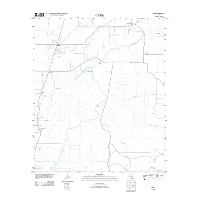 2012 Epps2012 Print · USGSWest Carroll Parish in the early 21st century reveals a landscape shaped by its waterways and long-standing rural communities. Genealogists and local historians can trace the positions of Palestine Cem, Fairview Cem, and the riverfront at Epps Landing.
 - 2012 Map of Bee Bayou, 2012 Print
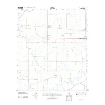 2012 Bee Bayou2012 Print · USGSNorthwestern Louisiana's wetlands and energy fields are documented here in the early twenty-first century. Researchers can trace rural infrastructure and family sites like Greer Cem, Sunflower Cem, and the industrial footprint of the Big Creek Gas Field.
 - 2015 Map of Epps, 2015 Print
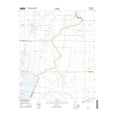 2015 Epps2015 Print · USGSLouisiana's delta country is mapped here in the modern era, showing the rural communities of Epps and Monticello. Researchers can trace old family burial sites like Fairview Cem and follow the intricate winding paths of Joes Bayou and Cypress Bayou.
 - 2015 Map of Delhi, 2015 Print
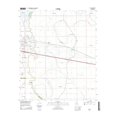 2015 Delhi2015 Print · USGSRichland and Madison Parishes in the mid-2010s reflect a landscape deeply tied to the meandering Bayou Macon. Researchers can trace the layout of Delhi and locate rural landmarks such as Waverly Cem or the riverfront at Scott Landing.
 - 2015 Map of Monroe South, 2015 Print
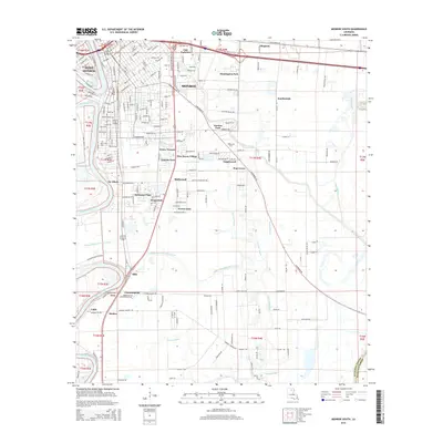 2015 Monroe South2015 Print · USGSMonroe and West Monroe anchor this mid-2010s survey of the Ouachita River corridor during a period of sustained suburban expansion. Genealogists and local historians can trace the growth of communities like Richwood, Kings Oaks, and Pino Bayou Village or locate New City Cem.
 - 2015 Map of Mangham, 2015 Print
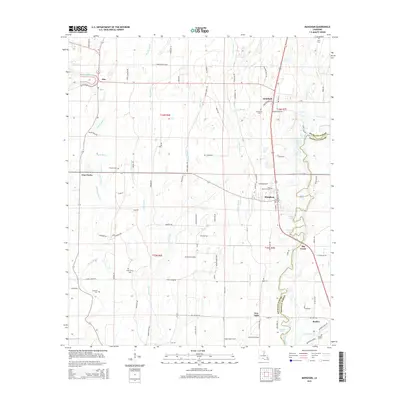 2015 Mangham2015 Print · USGSRichland and Franklin Parishes are captured here in the mid-2010s, showing a delta landscape shaped by the Boeuf River. Genealogists and local historians can trace family roots through numerous sites like Gwin Memorial Cem, China Grove Cem, and the community of Alto.
 - 2015 Map of Bosco, 2015 Print
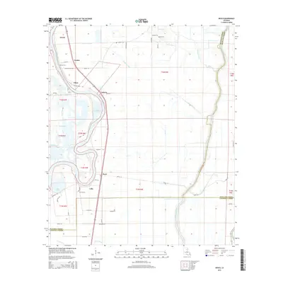 2015 Bosco2015 Print · USGSThe riverfront communities of Ouachita Parish are documented here in the mid-2010s, showing the intersection of waterway life and rural development. Researchers can locate family landmarks such as Faulks Cem and Cuba Cem or trace the old paths of Logtown Loop and Mansfield Rd.
Showing maps 1-25 of 100
Top cities of Richland Parish
Frequently asked questions
- What are the different types of historical maps available for Richland Parish?
- What is the oldest map of Richland Parish?
- Where can I purchase historical maps of Richland Parish for my home or office?
- Where can I download high-res historical maps of Richland Parish?
- Are there historical topographic maps available for Richland Parish?
- Is there historical aerial imagery available for Richland Parish?
- Where are historical maps of Richland Parish sourced from?