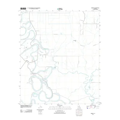
2012 Map of Hebert
USGS Topo · Published 2012About this map
The Boeuf River carves a highly sinuous path through this section of Caldwell Parish, creating a complex landscape of oxbow lakes, sloughs, and brakes. In the settlement of Hebert, local history is rooted near the riverbanks, where the Hebert Cem and a Po serve as central community markers. Further south, Hebert Landing indicates the historical importance of the river for transport and access.
Find a feature on this map
65 named features on this map. Tap any name to fly to it.
Don’t see what you’re looking for? This feature index may not catch every label — zoom into the map to look around manually.
Map Details
Editions of this 2012 Hebert Map
This is the sole edition of this map. No revisions or reprints were ever made.
Other maps of this area

1935 · Alto
USGS Topo · 1:62,500

1939 · Fort Necessity
USGS Topo · 1:62,500

1940 · Monroe
USGS Topo · 1:62,500

1940 · Columbia
USGS Topo · 1:62,500

1955 · Jackson
USGS Topo · 1:250,000

1955 · Shreveport
USGS Topo · 1:250,000

1956 · Shreveport
USGS Topo · 1:250,000

1957 · Columbia
USGS Topo · 1:62,500

1957 · Mangham
USGS Topo · 1:62,500

1957 · Monroe South
USGS Topo · 1:62,500